5 routes · Mountain Biking
An IMBA Epic backcountry trail deep in the Alaskan wilderness.
Mountain Biking Difficult

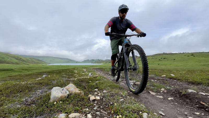
The Johnson Pass trail is an old wagon road that, over the years, has narrowed down into a stunningly-beautiful singletrack trail. This 23-mile point-to-point route is one of the easiest, most accessible backcountry routes in the Kenai Peninsula. Thanks to its origins as a wagon road, the trail is mostly smooth and non-technical throughout its length, and it doesn't gain an arduous amount of elevation. Both ends of the trail are also easily accessible from a major paved highway, which makes accessing the trail and setting up a self-shuttle a cinch.
Most mountain bikers complete Johnson Pass as an epic point-to-point shuttle, using two cars to self-shuttle the trail. The most popular route direction is from north to south, which provides you a little more descending than climbing. However, sources disagree on exactly how much elevation gain and loss is found along this trail. Alaska.org claims that there's only 1,000 feet of climbing along this route, but FATMAP shows almost 4,000 feet. Other online sources peg it closer to 3,500 feet, and still others at about 2,100 feet. Your GPS numbers may vary.
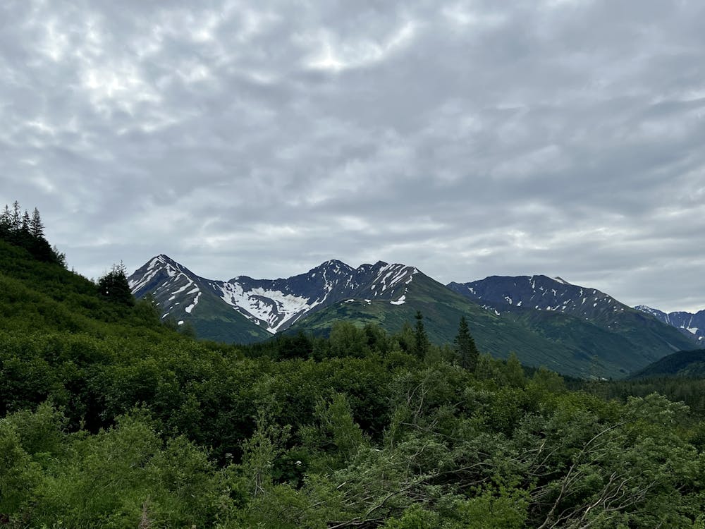
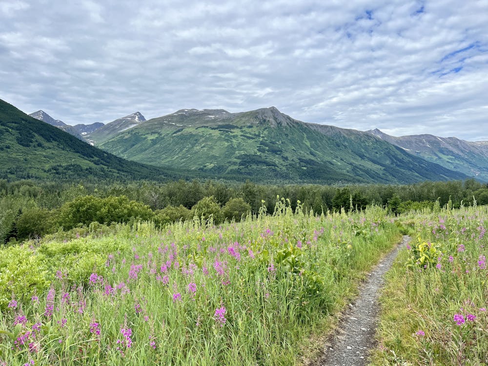
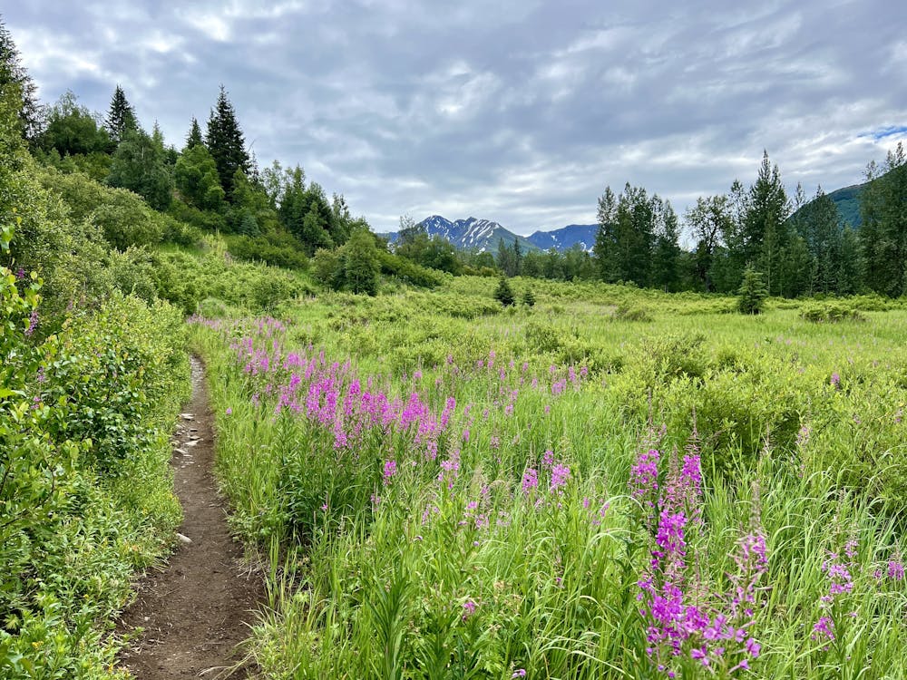
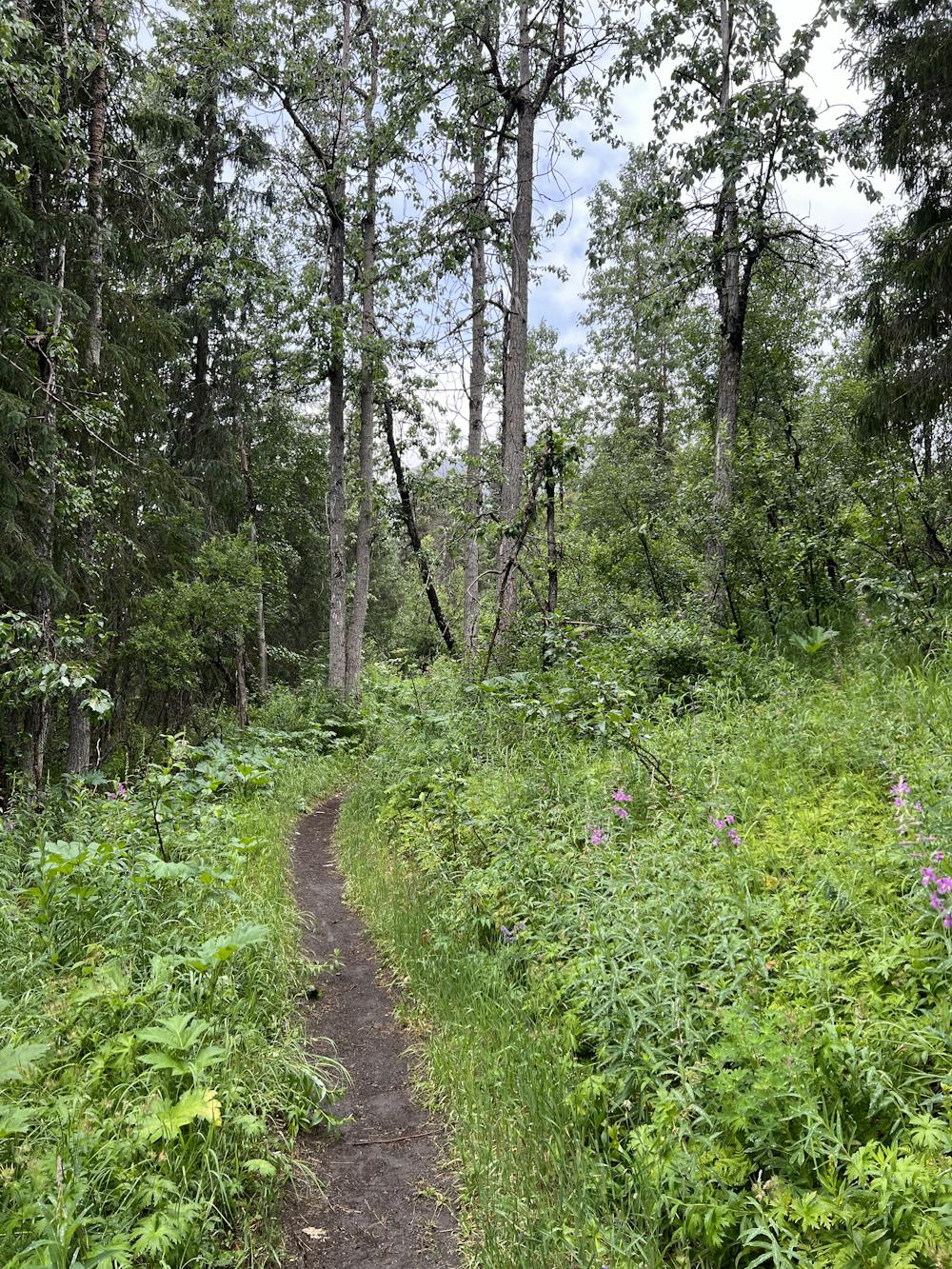
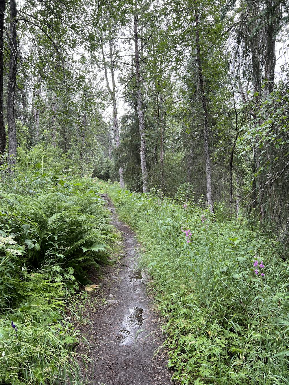
The views along Johnson Pass are absolutely stunning! You'll enjoy brilliant wildflower-filled meadows, deep forests, towering mountain peaks, and crystal-clear lakes. Even though you'll begin and end this ride on a paved highway, this is a true backcountry expedition traversing an epic valley and crossing a mountain pass. You are out there on this epic Alaskan backcountry adventure!
Johnson Pass is also a popular backpacking route, so there are many well-established campsites along the trail. You could easily turn this into a mellow overnight bikepacking trip if so desired, or if you don't have two cars to complete a shuttle, you could do it as an out-and-back overnighter.
The trail normally melts out sometime in June, and the mountain biking is best from late June into early July. However, as July wears on into August, the vegetation gets thick, with towering grasses and flowers leaning into the trail, turning Johnson Pass into a veritable jungle. From August until the frost begins to kill off the undergrowth, Johnson Pass becomes almost unrideable from the thick undergrowth. So if you truly want to complete this epic trail, it's best to attempt it in early July or late September after the frost has beaten back the bush.
Finally, be sure to remain bear aware, as this is thick bear country and true backcountry terrain. Carry bear spray and follow all other bear safety tips.
Sources: Alaska.org AndreaKuuipoAbroad.com USDA.gov
Difficult
Mostly stable trail tread with some variability featuring larger and more unavoidable obstacles that may include, but not be limited to: bigger stones, roots, steps, and narrow curves. Compared to lower intermediate, technical difficulty is more advanced and grades of slopes are steeper. Ideal for upper intermediate riders.

The path is on completely flat land and potential injury is limited to falling over.

In the high mountains or remote conditions, all individuals must be completely autonomous in every situation.
5 routes · Mountain Biking