
Angel Rocks
One of the most-trafficked trails near Fairbanks leads to gorgeous views from elevated rock formations.
Trail Running Difficult
- Distance
- 5.9 km
- Ascent
- 413 m
- Descent
- 413 m
- Duration
- 1-2 hrs
- Low Point
- 275 m
- High Point
- 539 m
- Gradient
- 11˚

Angel Rocks is one of the most popular and well-traveled hiking trails near Fairbanks, Alaska. Intrepid mountain runners can also challenge themselves by attempting to run as much of this short but steep route as possible.
- •
- •
- •
- •
- •
- •
- •
Description
The trail is located about 53 miles from downtown Fairbanks, with convenient access provided by the Chena Hot Springs Highway. In fact, the trailhead for this run is just a few miles from the hot springs itself, which makes it very easy to combine this beautiful hike with a relaxing soak in the hot springs after the fact.
The trail up to Angel Rocks is relatively short, but it feels fairly steep. You wouldn't necessarily expect it to feel so steep from the mere 474 feet of elevation gain, but with the stem section of this lollipop hike traversing a flat approach to the loop and a flat return from the loop, that elevation gain all happens in a very short period of time.
Yes, the climb to the top of the rocks is a fairly steep hoof. You'll have to ascend on loose sand and dirt via a series of short, steep grunts with a few switchbacks and small stair sets mixed in. Some sections of decomposed granite soil can be quite loose and slippery underfoot.
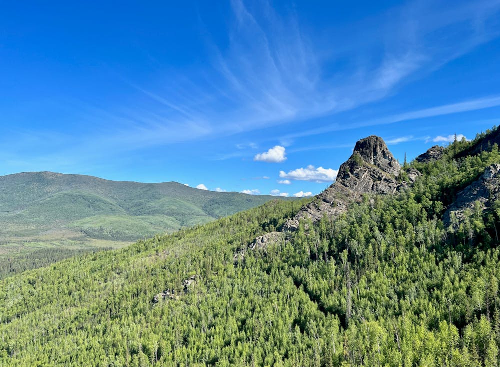
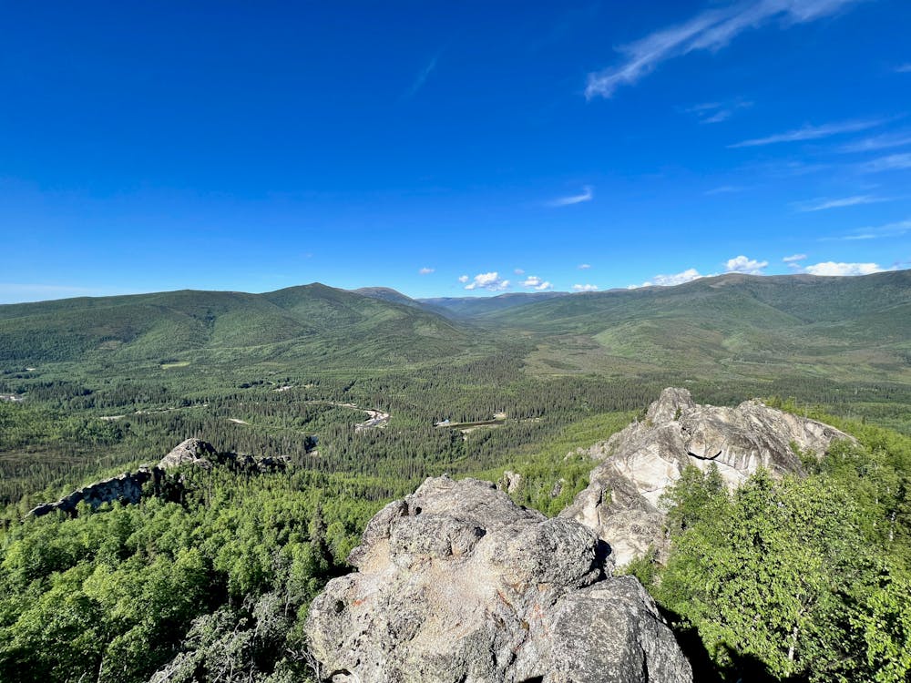
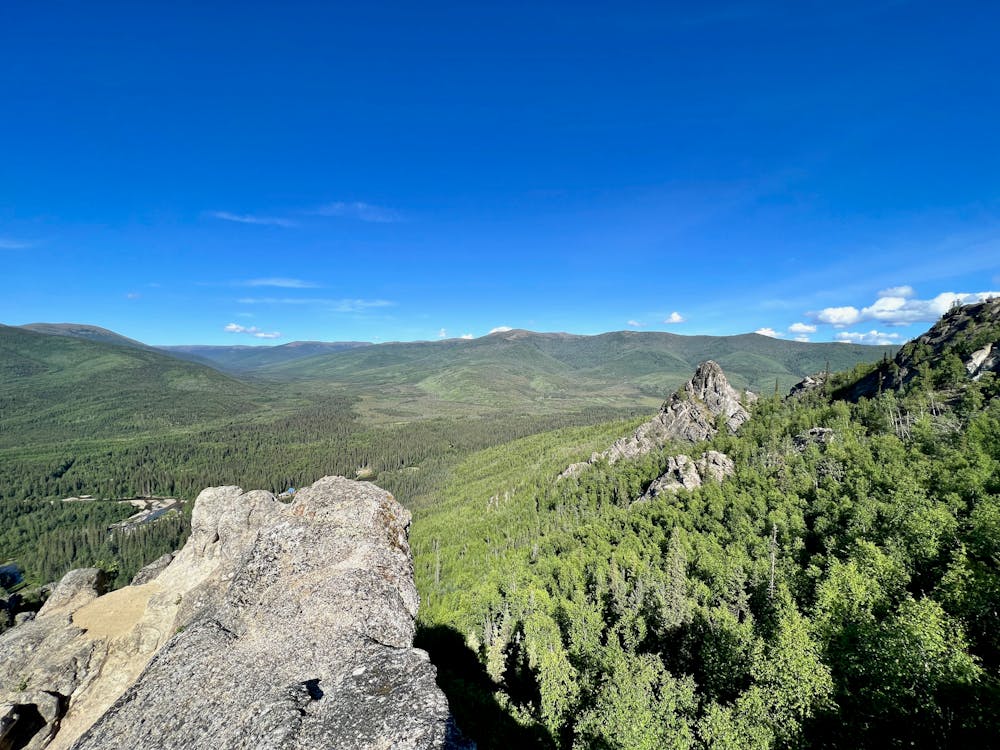
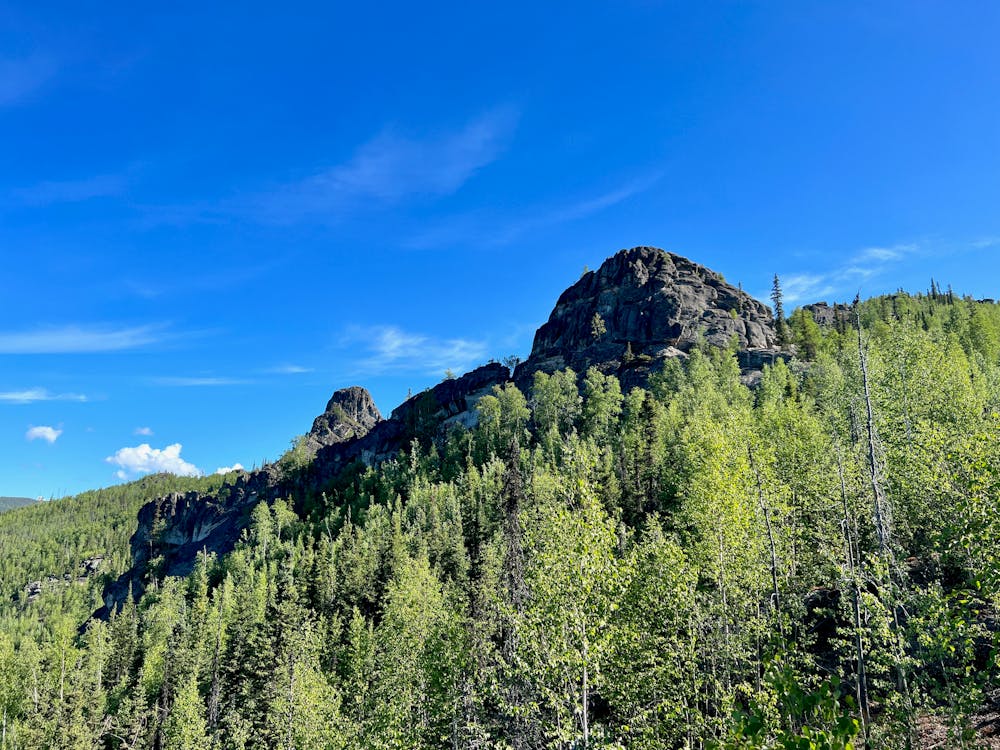
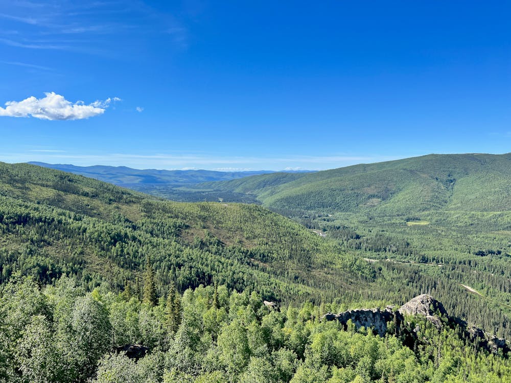
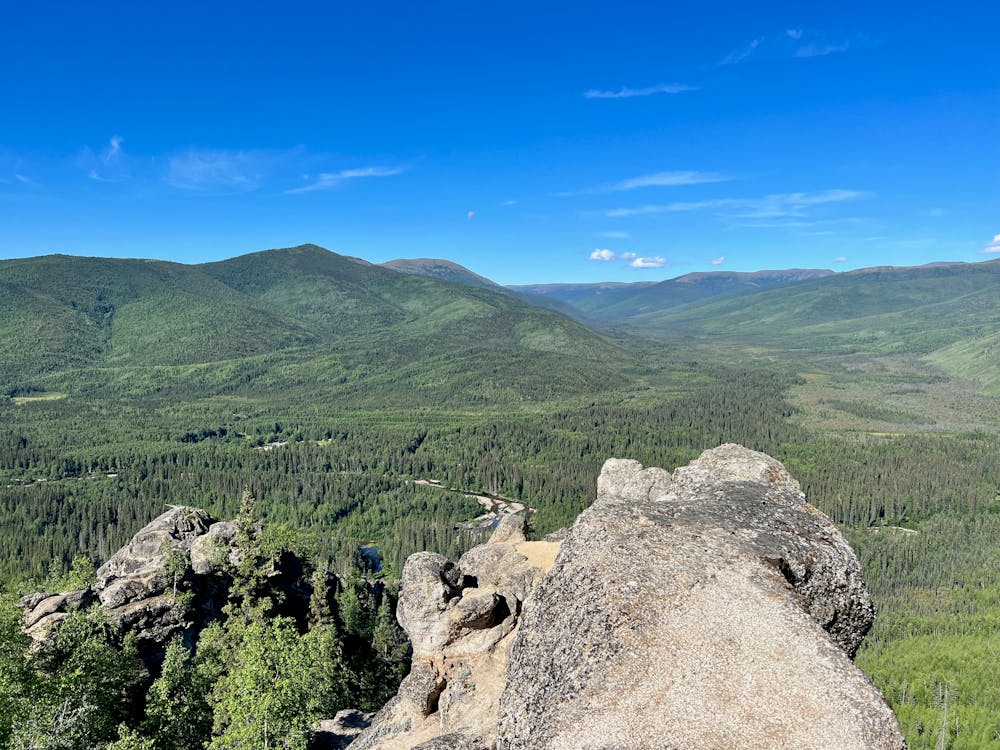
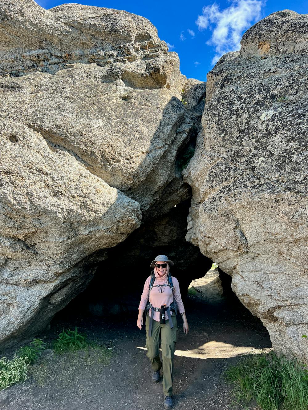
As mapped, the route heads counter-clockwise, allowing you to reach the first of the rocks before you've even finished the entire climb. This allows you to gain incredible views really quickly, but the views only get better and better as you head higher up the mountainside. You'll climb past the series of rock formations from whence the trail gets its name, and you'll enjoy incredible views over the valley below and the mountains all around you. Eventually, you'll hit a highpoint, soak in the view, and then start descending the northern side of the mountain back to the river, and then follow the river back to the trailhead.
For the best views, there are multiple options to scramble the final few feet to the top of the rock formations. However, most of these short scrambles are actually quite technical and exposed. While a few of the ledges aren't difficult to reach, if you want to sit on top of the rocks, the final few moves to get there are quite challenging. The technicality of those final scrambles aren't reflected in the FATMAP difficulty rating assigned to this route. The final scramble sections should be considered "Extreme," or low-grade rock climbing moves.
Difficulty
Difficult
