8.6 km away
Antelope Canyon
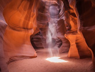
One of the most famous slot canyons in the world!
Moderate Hiking
- Distance
- 950 m
- Ascent
- 43 m
- Descent
- 43 m
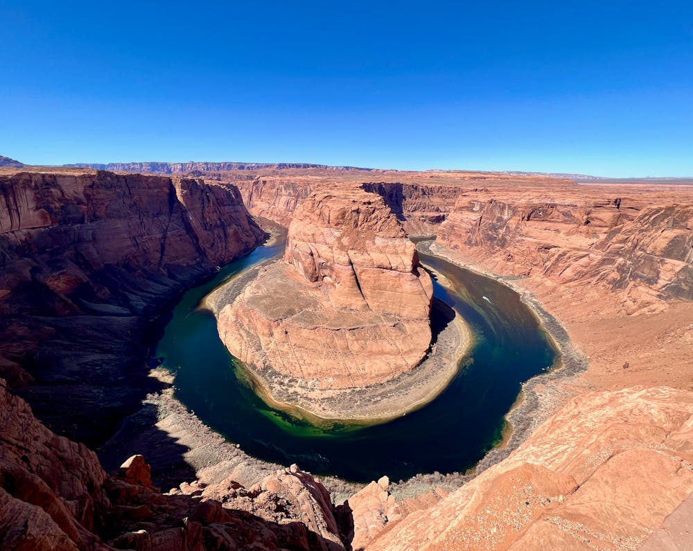
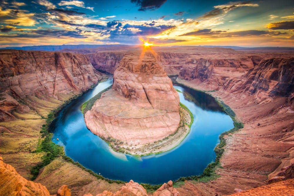
A popular tourist hike to a stunning view of Horseshoe Bend—one of the most photographed spots in Arizona.
Hiking Easy

Horseshoe Bend is famous as one of the most photographed spots in Arizona. Here, the Colorado River meanders around a dramatic 180-degree bend. Over the eons, the river has cut its way down into the bedrock. Now, the water winds its way around the bend hundreds of feet below the rock rim high above.
Sure, hundreds of tourists swarm this trail every single day, but that doesn't mean it isn't worth a quick visit. It might be a one-and-done experience, but you might as well check this box.
Before you start the hike, you'll have to pay $10 to park at the large trailhead. The trail begins immediately from the parking lot, winding its way around a sand dune on a wide, ADA-accessible trail tread. The 1.4-mile round-trip distance is a short, easy hike that anyone can handle. If you need to rest along the way, you'll find several benches and shade structures to shelter you from the harsh desert sun.
While the wide path is non-technical and not challenging, it does a great job of handling the crowds streaming in both directions. Unlike hiking along a narrow singletrack trail, on this wide pathway, it's easy to weave around the crowds and make your way to the viewpoint at your own pace.
You'll soon arrive at the incredible overlook of Horseshoe Bend itself—don't forget your camera! The main overlook is protected with a railing and a reinforced viewing platform.
However, if you haven't had enough adventure just yet, you can venture beyond the railing and scramble along the rocky cliffs on top of the rim. Just be cautious if you approach the rim beyond the protected area—a fall here means certain death.
Once done, return to your car along the same path.
Easy
Walking along a well-kept trail that’s mostly flat. No obstacles are present.

The path is on completely flat land and potential injury is limited to falling over.
Close to help in case of emergency.
8.6 km away
One of the most famous slot canyons in the world!
Moderate Hiking