2 m away
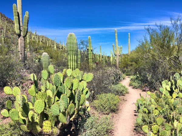
Canyon Loop
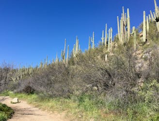
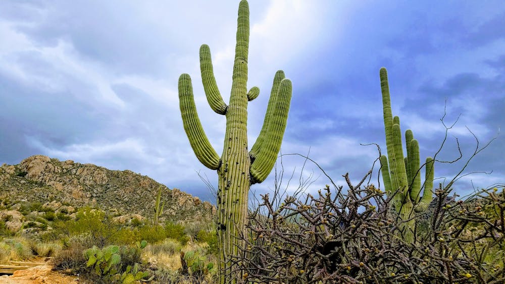
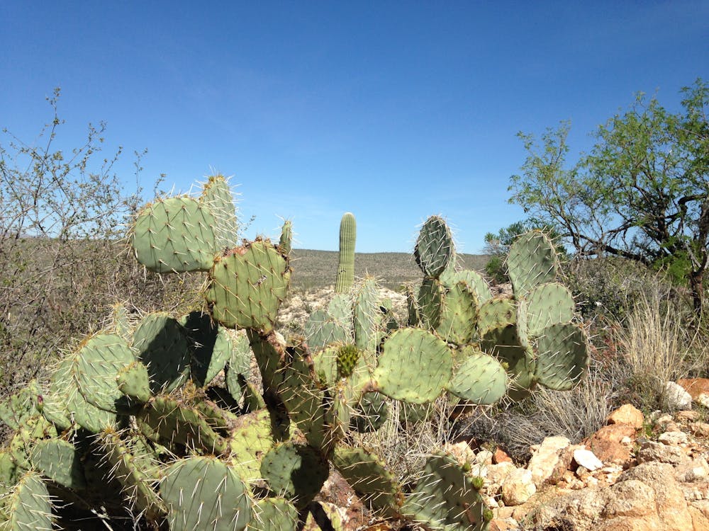
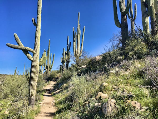
An ultra-popular loop hike with beautiful stream crossings and towering saguaro cacti.
Easy Hiking
- Distance
- 3.7 km
- Ascent
- 62 m
- Descent
- 62 m
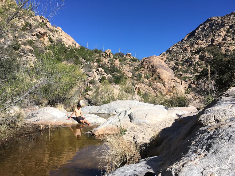
Hike to a seasonal collection of beautiful pools and waterfalls.
Hiking Difficult

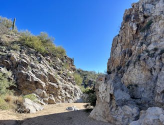
The hike up Romero Canyon to the Romero Pools and associated waterfalls is one of the most popular hikes in the greater Tucson area. "Montrose Pools and Romero Pools are shallow catchments on canyon streams that flow seasonally," according to AZStateParks.com. When the catchments are full, the pools are popular swinging holes, with great cliff jumping opportunities off the overhanging rocks.
The hike to the pools gets progressively more difficult the further you go on. "The first 1.1 miles is a relatively flat and an easy walk," according to Dofo Salazar on TheOutbound.com.
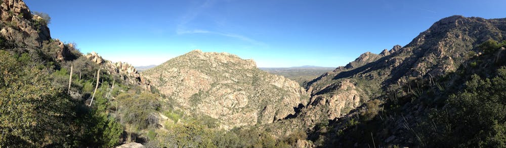
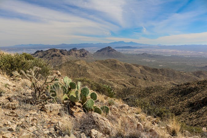
After crossing out of the park boundary and into the Pusch Ridge Wilderness Area, the trail transforms into a much rougher, "unmaintained wilderness trail," according to AZStateParks. "The next 1.7 miles is a steep and rocky climb to Romero Pools. Poor trail conditions might be encountered," they warn. The rugged trail climbs through craggy rock outcroppings as it heads deep into the Santa Catalina Mountains.
The hike to Romero Pools measures 2.8 miles one-way, and the downhill return is much easier. If you're looking for a true challenge, you can continue all the way to Romero Pass, which is 7.7 miles one-way from the trailhead. Be forewarned: there's no easier way to return than the trail you climbed up, so you must be prepared for a long day in the mountains.
Sources: https://azstateparks.com/catalina/things-to-do/trails https://www.theoutbound.com/arizona/hiking/hike-to-the-romero-pools https://www.gjhikes.com/2014/07/romero-pools.html
Difficult
Hiking trails where obstacles such as rocks or roots are prevalent. Some obstacles can require care to step over or around. At times, the trail can be worn and eroded. The grade of the trail is generally quite steep, and can often lead to strenuous hiking.

The trail contains some obstacles such as outcroppings and rock which could cause injury.
Away from help but easily accessed.
2 m away
An ultra-popular loop hike with beautiful stream crossings and towering saguaro cacti.
Easy Hiking
64 m away
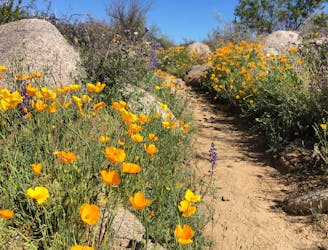
Experience the brilliance of poppies in the springtime on the Sutherland Trail.
Moderate Hiking
181 m away
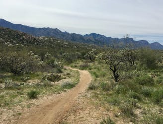
Hike one of Tucson's most renowned stretches of singletrack.
Difficult Hiking
4.4 km away
An ultra-smooth, flat hike through the desert.
Easy Hiking
6.4 km away
A surprising canyon with a historic dam in the heart of Oro Valley.
Easy Hiking
6.4 km away
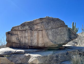
Discover an exciting dose of native history on this hike!
Easy Hiking
9.8 km away
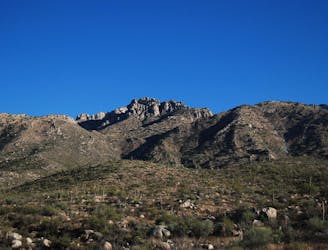
One of the most accessible major peaks in the Catalinas.
Severe Hiking
10 routes · Hiking
4 routes · Hiking
6 routes · Hiking

32 routes · Mountain Biking · Hiking · Road Biking