4.8 km away
The Corona Loop

The perfect beginner mountain bike ride.
Easy Mountain Biking
- Distance
- 5.8 km
- Ascent
- 68 m
- Descent
- 69 m
This route gives the technical rider a great tour of the best of South Mountain.
Mountain Biking Severe

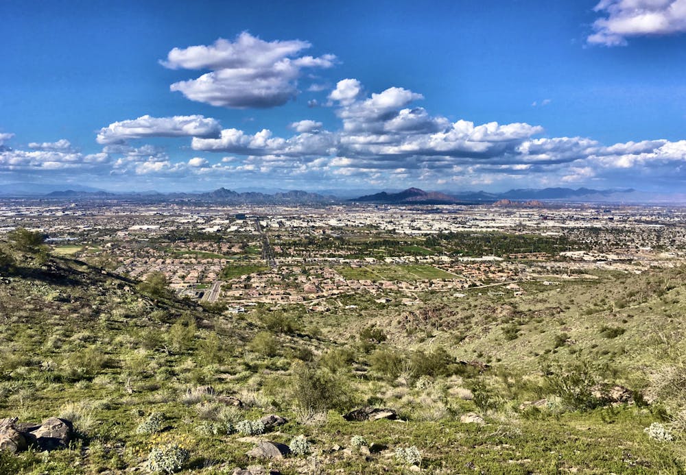
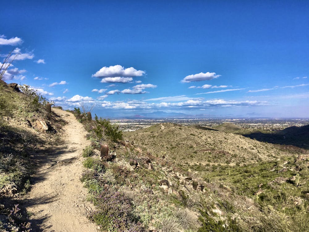
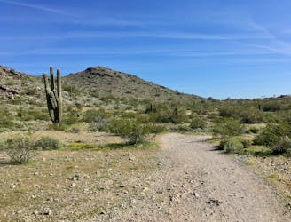
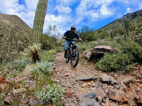
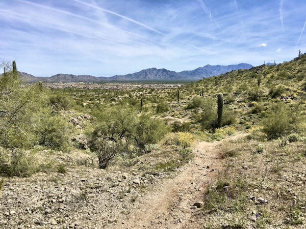
At over 16,000 acres, South Mountain is one of the world's largest municipal parks. Even though it is a municipal park, it is also very rugged and quite remote-feeling just a short distance from any of the many trailheads. The park also puts all that magnificent terrain to good use, providing well over 50 miles of trail ranging from buttery smooth to get-your-armor-on, wickedly challenging.

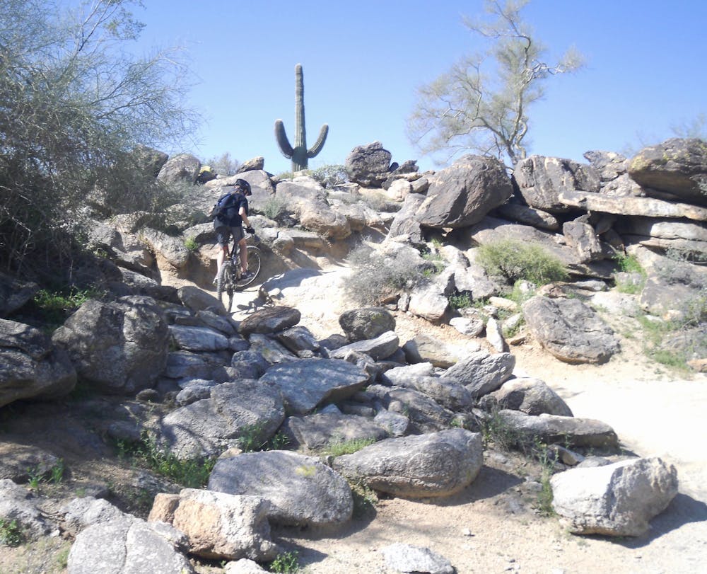
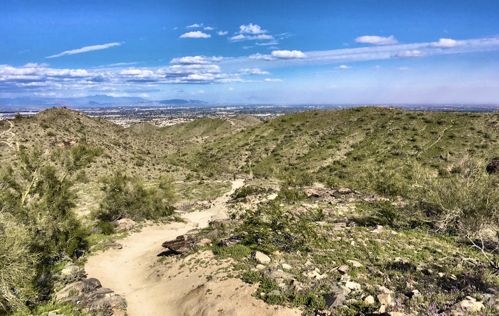
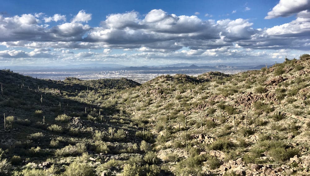
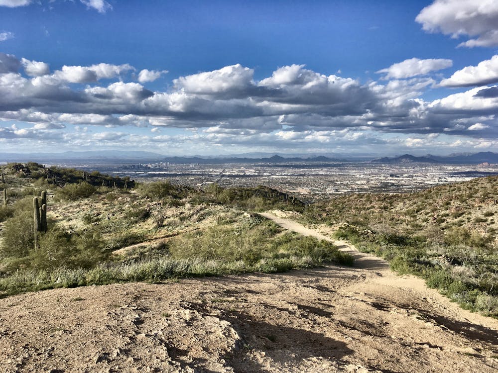
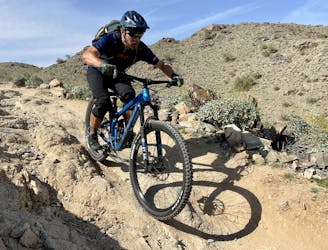
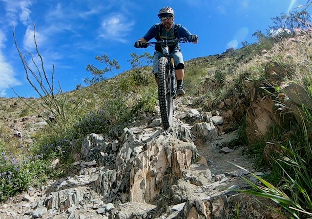
This route, which incorporates the Mormon Trail, Mormon Loop Trail, part of the National Trail, and the Geronimo Trail, serves up nine miles of mostly challenging, rock-strewn and technical singletrack perfect for the advanced rider looking to pack maximum gnar into an accessible ride of moderate length.
The climb up the Mormon Trail is full of big moves up a seriously steep grade, taxing both technical skills and aerobic fitness. The Mormon Trail proper feeds directly into a midpoint intersection with the National Trail which rides most of the spine of the great massif. But rather than hit it direct, this route detours east long enough to hit the National Trail further back and get in more very high-quality singletrack. The detour comes via the Mormon Loop Trail, which gives a brief respite from the challenging climb of Mormon and then once on National, the trail continues to climb with reasonable uphill flow punctuated by technical moves of varying difficulty.
While the National Trail runs the entire spine, this route hops off at the Geronimo Trail for the descent back to the parking lot. If you've been cursing the climb and wondering what the heck you're doing out here, Geronimo is the answer. Dropping just over a thousand vertical feet in a couple miles, the grade is continually intense, but not as intense as the constant rocks that make up most of its length. This is one crazy fun downhill romp for an aggressive rider, and more than worth every drop of sweat shed to get there. Parts of Geronimo have some fall exposure, and much of it has cactus, which will make a fall quite painful beyond the potential for broken bones.
While this trail is rideable year-round, this is Phoenix, the driest, hottest city in America. It is completely possible to die here in the summer. If you ride this area in the summer months, be sure to start very early in the morning and get off the trail as soon as possible. Bring more water than you think you'll need, and lather on the sunscreen.
-Written by John Fisch
Severe
Widely variable, narrow trail tread with steeper grades and unavoidable obstacles of 15in/38cm tall or less. Obstacles may include unavoidable bridges 24in/61cm wide or less, large rocks, gravel, difficult root sections, and more. Ideal for advanced-level riders.

The trail contains some obstacles such as outcroppings and rock which could cause injury.

Close to help in case of emergency.
4.8 km away
The perfect beginner mountain bike ride.
Easy Mountain Biking
5.3 km away
The easiest trail in the South Mountain Trail System makes for the perfect after work cross country ride.
Moderate Mountain Biking
5.3 km away
One of the flowiest trails on South Mountain still packs a technical punch.
Difficult Mountain Biking

37 routes · Mountain Biking
4 routes · Mountain Biking
10 routes · Mountain Biking
8 routes · Mountain Biking