
37 routes · Mountain Biking
A steep, technical loop providing a mountain feel right on the outskirts of Phoenix.
Mountain Biking Severe

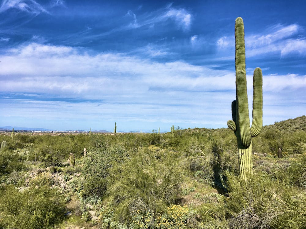
This short but steep loop connecting Windgate Pass and Bell Pass provides a dose of big mountain riding right on the outskirts of the Phoenix Metro Area. While the route as mapped is just under 10 miles long, with over 2,000 feet of elevation gain over that short distance, this ride will punish you on the ups and reward you with a ripping descent back down to the trailhead!
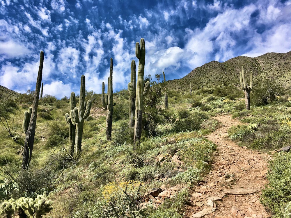


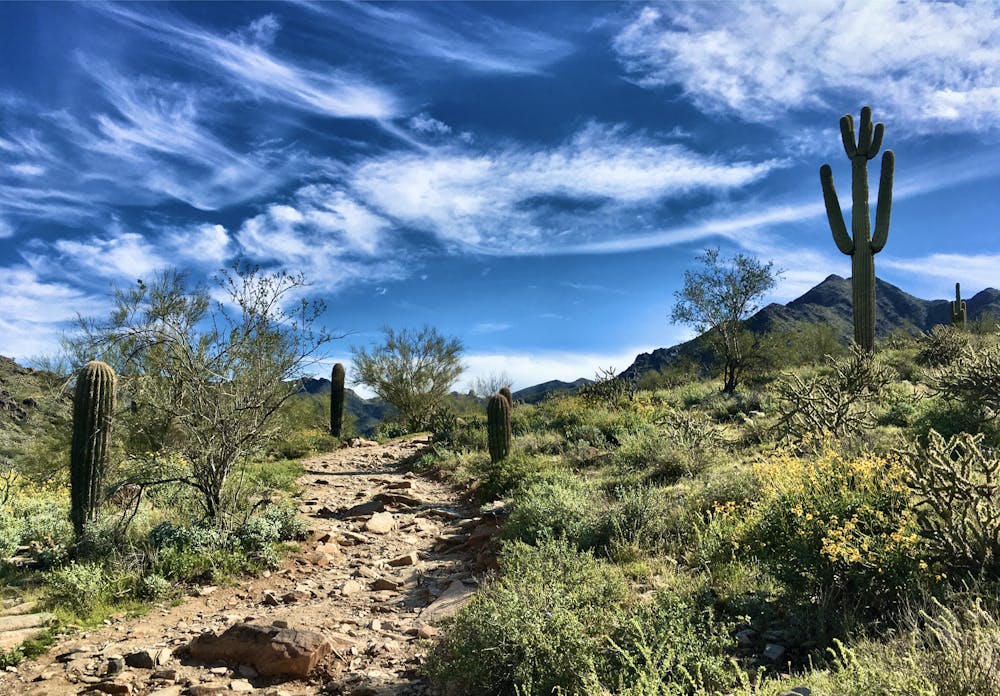
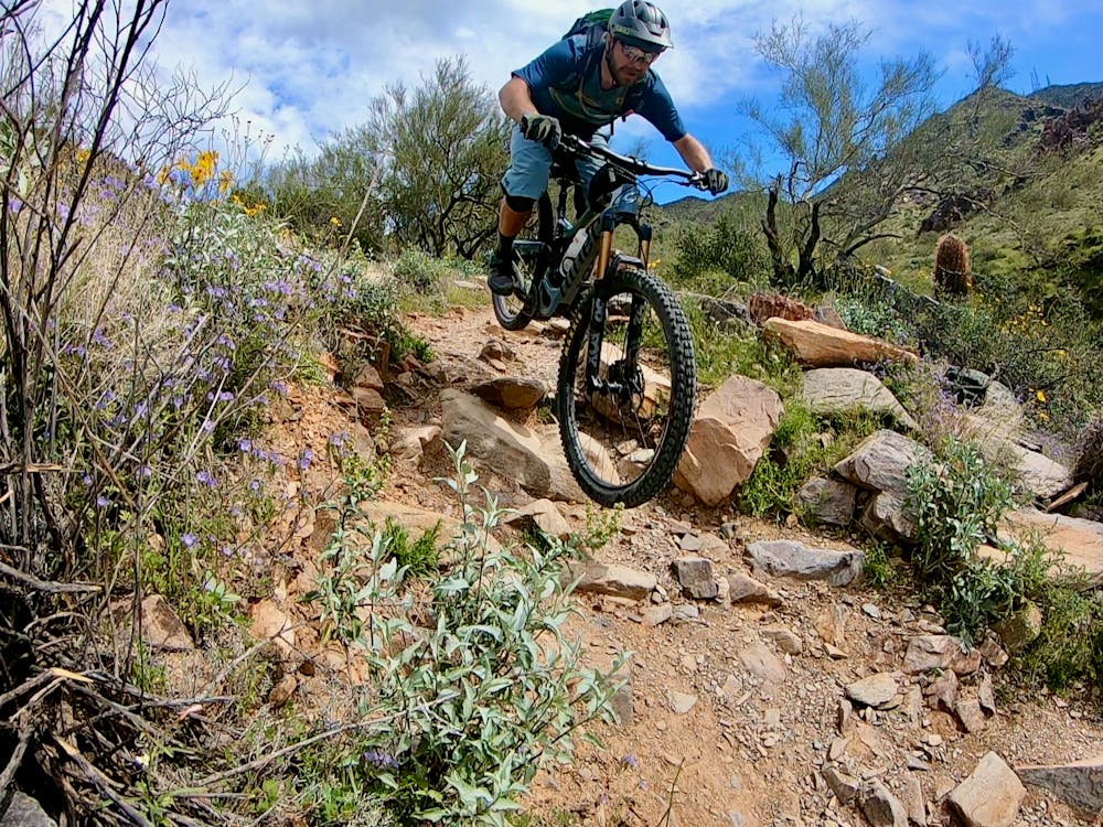
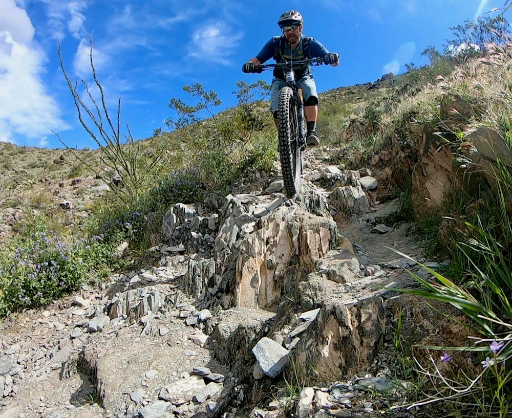
The primary climb to the top of Windgate Pass is technical and challenging, but the grade is mostly achievable if you focus on your line selection and bring a healthy pair of lungs. Many riders may opt to hike-a-bike sections of the climb, while others will challenge themselves to clean the entire thing.
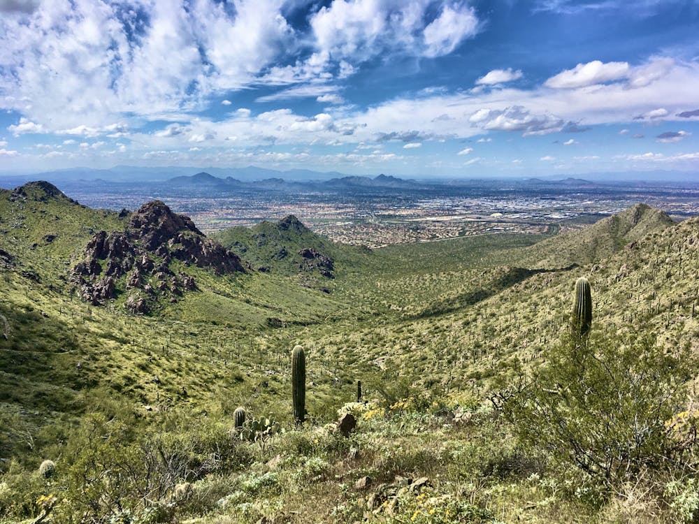
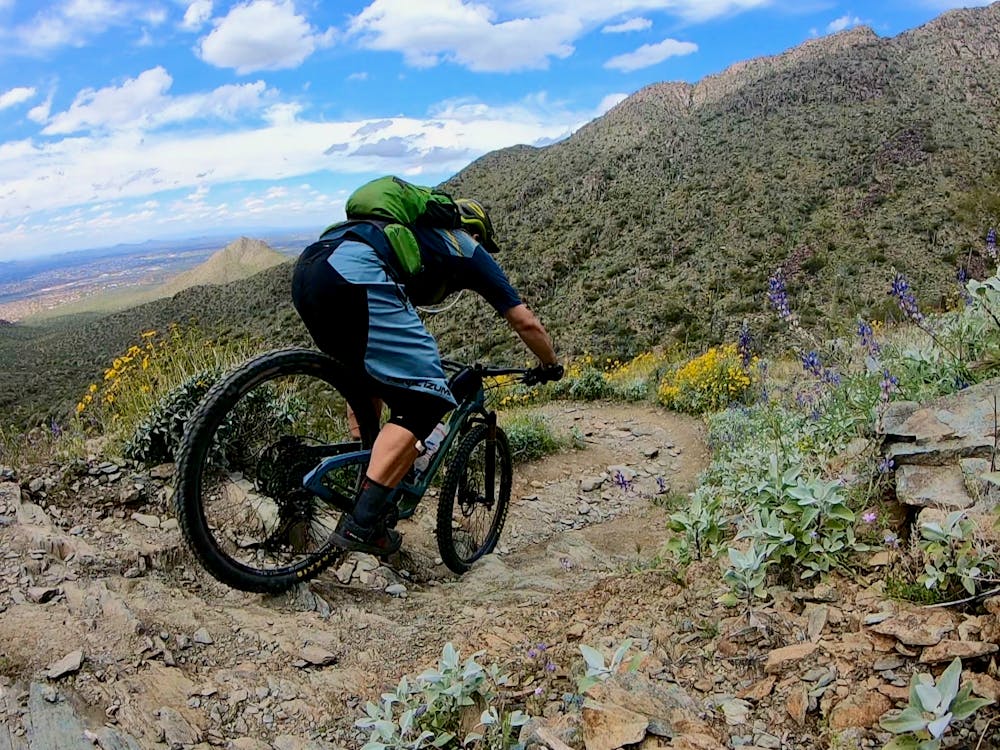
Once at the top of Windgate Pass, soak in the epic views of the city below and the mountains all around, and prepare for a short, fast descent down the backside of the mountain. Note: this is not yet your primary descent! If you reach the top of Windgate and you’re already worn out, it’s best to turn around and head back down.
From the top of Windgate, the route drops down the backside of the mountain, losing about 420 feet of elevation. Then, the trail makes a hard right turn and heads toward the top of Bell Pass, gaining about 625 feet of vert in short order. After the extended climb to the top of Windgate, this final grunt can sometimes feel like a punch-in-the-gut, especially if the summer heat is in full force!
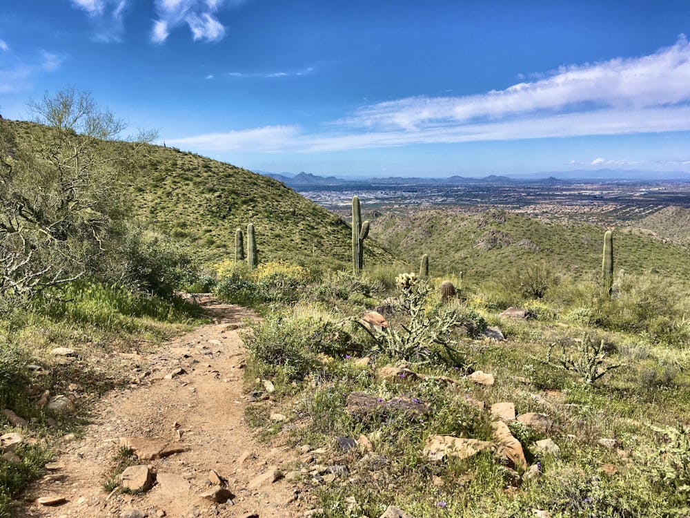
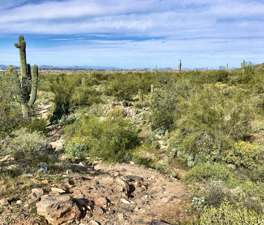
Once on top of Bell Pass, it’s finally time to descend! From here, you’re in for a blissful downhill all the way back to the trailhead.
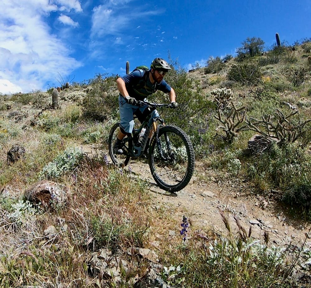
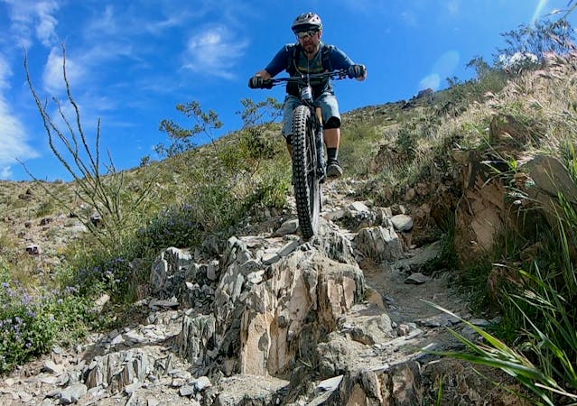
The top of the descent is steep and technical, with rock gardens, rock rolls, sharp switchbacks, and multiple ledge drop options. While the greater McDowell area is popular for its endless miles of relatively non-technical cross country trails, the Bell Pass descent is an outlier, ranking among the most technical mountain bike rides in the greater Phoenix area! And the faster you push yourself, the more challenging the trail will become… just watch out for other trail users.
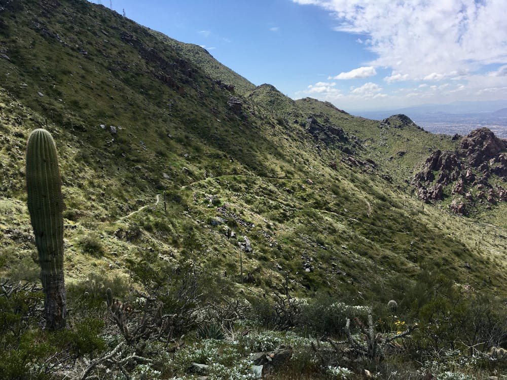
Eventually, the descent mellows out, finishing with a gradual roll back to the trailhead. The lower sections of trail are very popular with hikers and runners, so be sure to slow your roll and yield the trail properly.
Severe
Widely variable, narrow trail tread with steeper grades and unavoidable obstacles of 15in/38cm tall or less. Obstacles may include unavoidable bridges 24in/61cm wide or less, large rocks, gravel, difficult root sections, and more. Ideal for advanced-level riders.

The trail contains some obstacles such as outcroppings and rock which could cause injury.
Away from help but easily accessed.
37 routes · Mountain Biking
4 routes · Mountain Biking

10 routes · Mountain Biking