9 routes · Mountain Biking
The Womble Trail is an IMBA Epic Trail that offers 37 miles of steep, rocky climbs; narrow trails cut into the mountainside with intimidating drop-offs; and fun, flowy descents.
Mountain Biking Severe

Set deep in the Ouachita Forest, the Womble Trail offers over 6,000 feet of climbing on old school, handmade singletrack, built at a time when trail construction followed the rule "if it’s natural leave it." There's plenty to justify its designation as an IMBA Epic Trail.


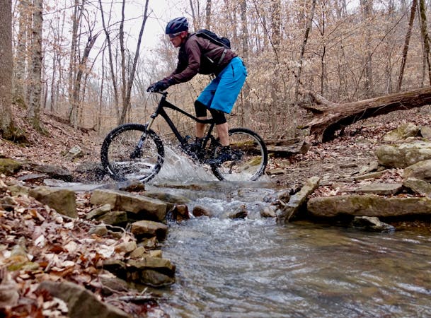
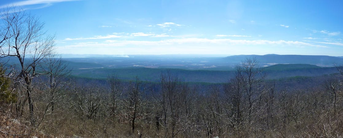
As the trail routes cyclists through densely-forested valleys and across rugged, rocky ridge-tops, you ride narrow paths cut into the hillside with intimating drop-offs, along bluffs with vast views of the surrounding mountain tops, and across sometimes challenging creek crossings. There are several demanding technical sections as the trail weaves its way over and around rock formations and other natural features; however, the entire trail is very rideable for those with average bike handling skills and the determination to push themselves.
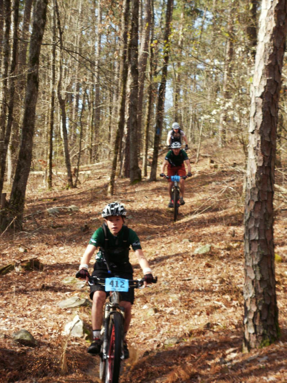
With open camping throughout the forest, you and your friends can set up a base camp to spend days exploring the Womble on your own, or you can join 500 other likeminded mountain bikers at the annual Ouachita Challenge (OC), which utilizes much of the Womble in its 60-plus-mile routes.
However, if you choose the OC, be sure to check the date for early registration and plan to be sitting at your console, ready to submit your entry as the clock strikes midnight, because it usually takes less than 15 minutes to fill the 500 rider limit.
If 37 miles isn’t enough of a challenge, then upon reaching the eastern end of the Womble it intersects with the 222 mile Ouachita Trail (OT). This is primarily a hiking trail, however, it does allow bicycles. Unless you are planning to backtrack on the Womble Trail you will have to ride several miles of OT at this end to reach any nearby roads to leave a shuttle vehicle.
Severe
Widely variable, narrow trail tread with steeper grades and unavoidable obstacles of 15in/38cm tall or less. Obstacles may include unavoidable bridges 24in/61cm wide or less, large rocks, gravel, difficult root sections, and more. Ideal for advanced-level riders.

Some trail sections are extremely exposed where falling will almost certainly result in serious injury or death.

Away from help but easily accessed.
9 routes · Mountain Biking
3 routes · Mountain Biking