1.5 km away
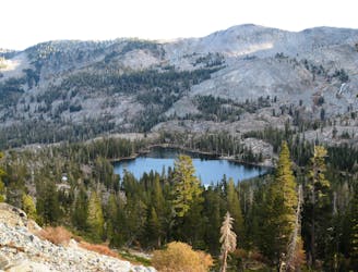
Eagle Falls Trail to Eagle Lake
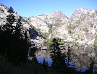
Easy uphill hike past a waterfall to a lake in the mountains outside Emerald Bay State Park.
Easy Hiking
- Distance
- 2.9 km
- Ascent
- 123 m
- Descent
- 123 m
An easy hike to a 65-foot cascade.
Hiking Moderate

Cascade Falls is a popular short hike in the Emerald Bay area, located on the southwest corner of Lake Tahoe. This quick jaunt measures just 1.3 miles round-trip from the Bayview Campground, and with fairly easy hiking the entire way, it's a true crowd-pleaser.
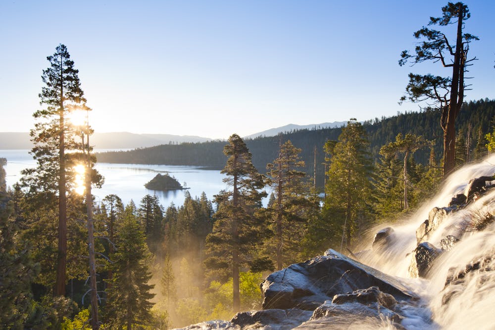
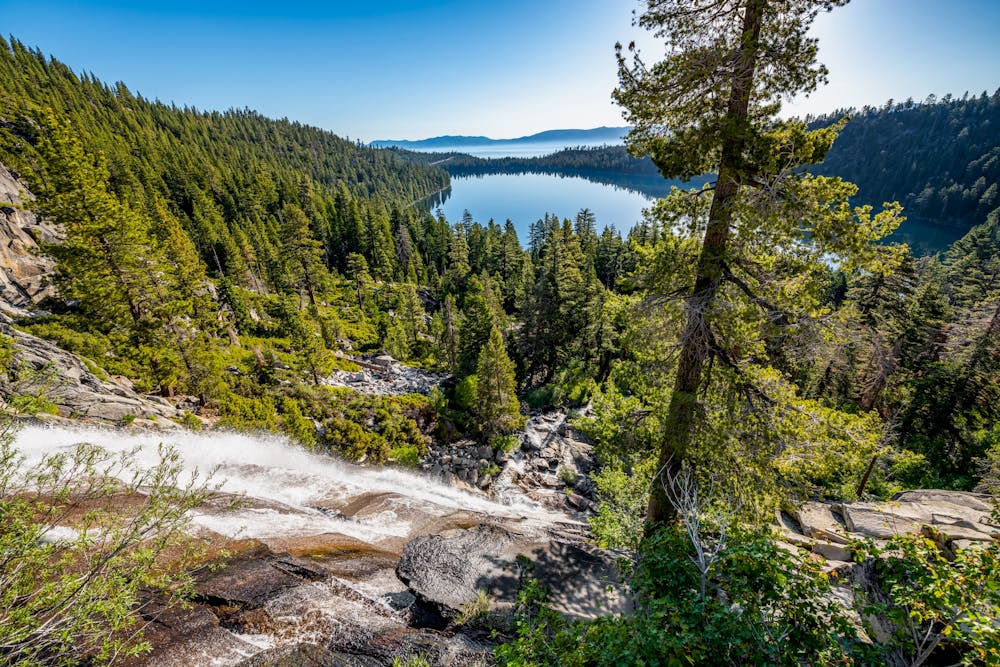
The ultimate destination is Cascade Falls itself, which drops 65+ feet over boulders and rocks. This tumbling cascade causes the water from the stream to mist into the air (especially when it's flowing at a lower water level), providing a surreal view when the sun shines through it.
Sources: https://visitlaketahoe.com/hike/cascade-falls-trail/ https://visitlaketahoe.com/hike/lake-tahoe-waterfalls-cascade-falls/
Moderate
Hiking along trails with some uneven terrain and small hills. Small rocks and roots may be present.
1.5 km away
Easy uphill hike past a waterfall to a lake in the mountains outside Emerald Bay State Park.
Easy Hiking
3.7 km away
Stroll through the forest past alpine lakes, then tackle a strenuous climb to the top of the proudest peak on Lake Tahoe's shore.
Difficult Hiking
4.5 km away
Short trail from Fallen Leaf Lake Campground with views of the lake and Taylor Creek.
Easy Hiking
6.1 km away
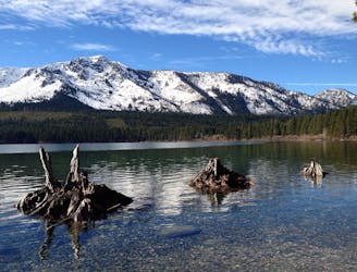
A scenic hike along Lake Tahoe's shore that links overlooks, swimming beaches, a waterfall, and a historic mansion in two state parks.
Moderate Hiking
7.5 km away
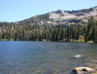
Short hike to a stunning alpine lake with the amenities of day-use or overnight kayak and cabin rentals at Angora Lakes Resort.
Moderate Hiking
7.6 km away
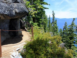
Easy hike past waterfalls, lakes, and a historic springs resort that leads to more strenuous trails in the Desolation Wilderness, including a way to the top of Mount Tallac.
Moderate Hiking
7.6 km away
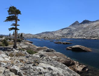
Ascend steeply through intimidating cliff bands to reach a high saddle on Echo Peak, then drop down into a granite basin of sparkling lakes in the Desolation Wilderness.
Difficult Hiking

14 routes · Hiking

5 routes · Alpine Climbing · Hiking