1.5 km away
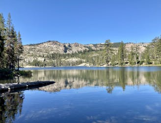
Long Lake Lollipop
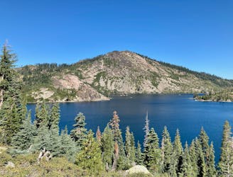
Challenging hike in the Lakes Basin.
Severe Hiking
- Distance
- 11 km
- Ascent
- 557 m
- Descent
- 558 m
One of the most popular sights in the Lakes Basin.
Hiking Easy

While the vast majority of the hiking destinations in the Lakes Basin are, well, lakes, Frazier Falls is a popular sight that rightfully attracts crowds of tourists. "The falls cascade down nearly 250 feet, and it is easily viewed from a platform that looks over the waterfall and the Frazier Creek Gorge downstream,” according to Aron Bosworth on OutdoorProject.com.
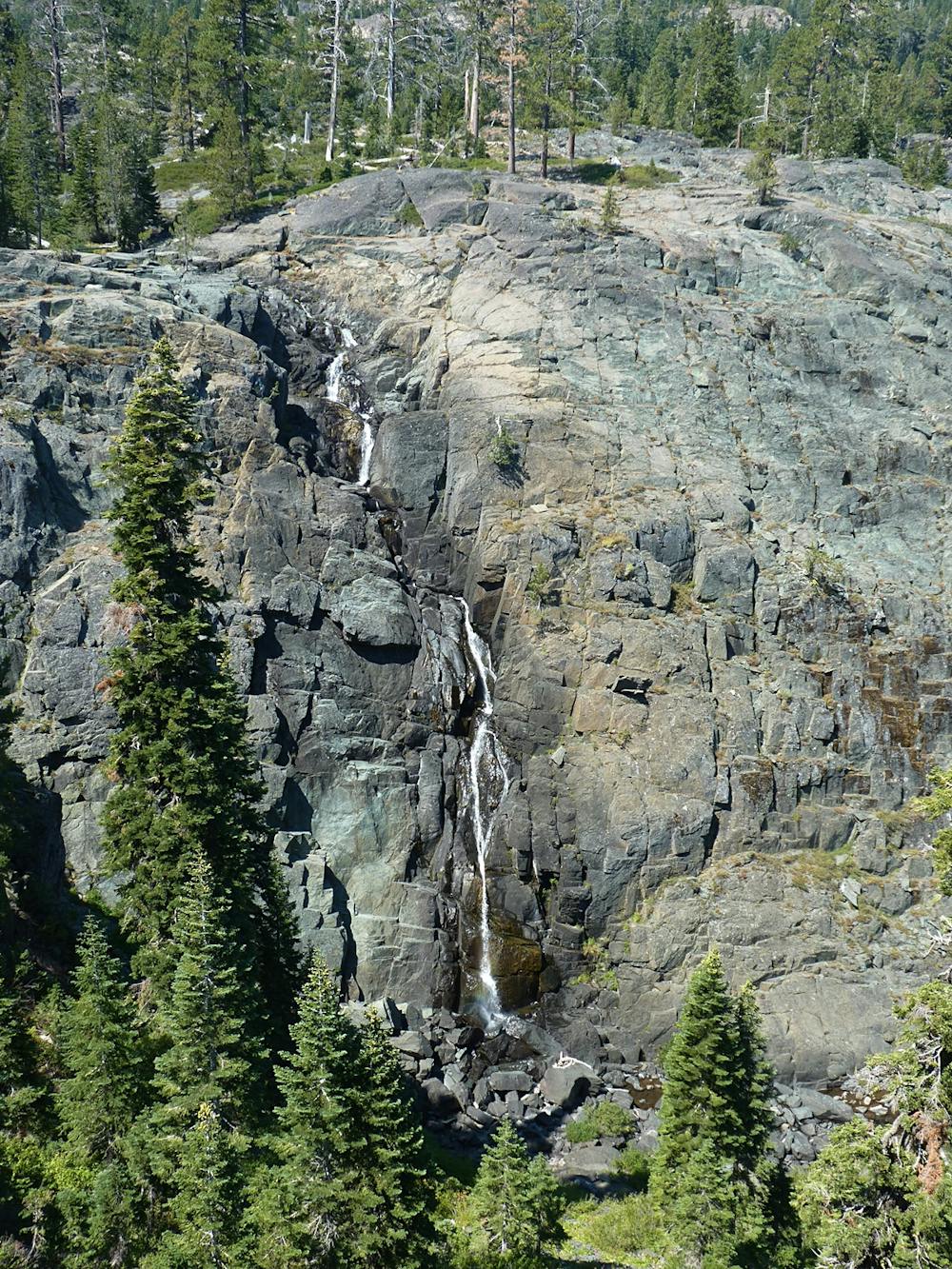
The viewing platform above the falls can quickly be reached via this one-mile round-trip hike on a paved path. This easy hike makes for a great outing for the entire family, and can easily be appended onto a much more ambitious day in the Lakes Basin.
Frazier Falls is fed primarily by snowmelt, so the falls dries up almost completely by late summer. For a roaring waterfall experience, plan your visit for the spring or early summer.
Sources: OutdoorProject.com. TheOutbound.com
Easy
Walking along a well-kept trail that’s mostly flat. No obstacles are present.

The path is on completely flat land and potential injury is limited to falling over.
Close to help in case of emergency.
1.5 km away
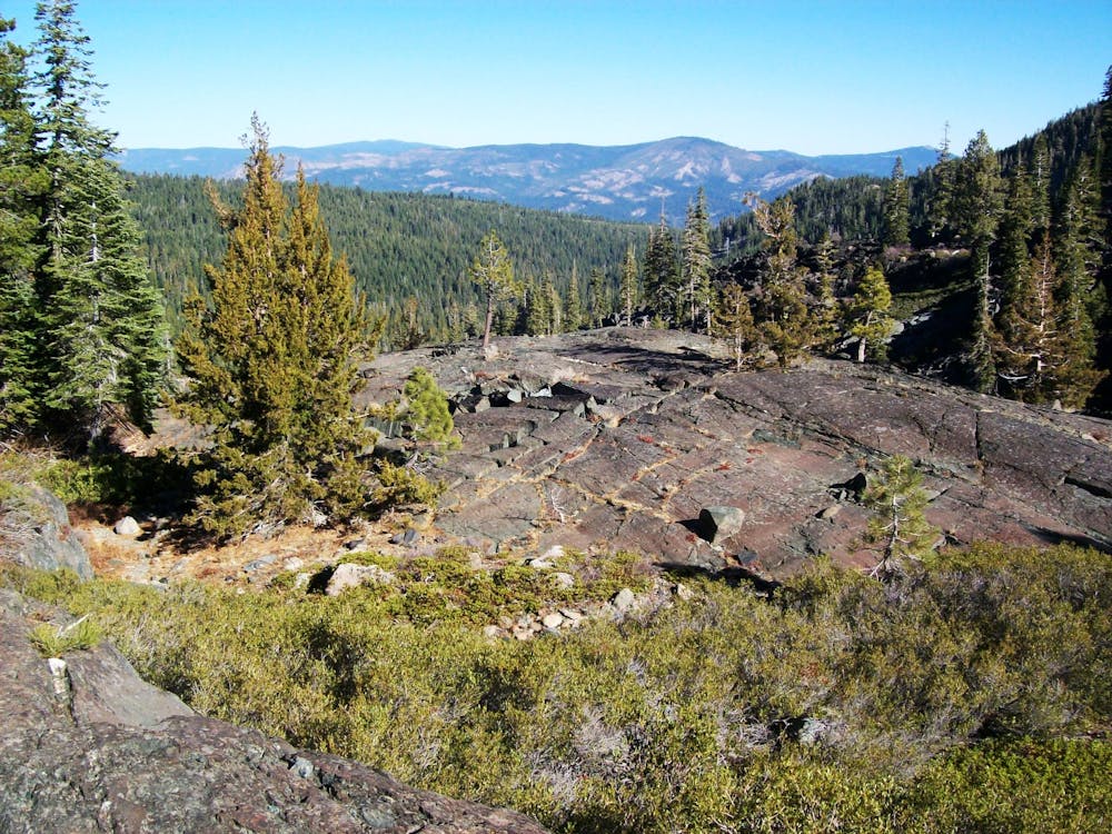
Challenging hike in the Lakes Basin.
Severe Hiking
1.9 km away
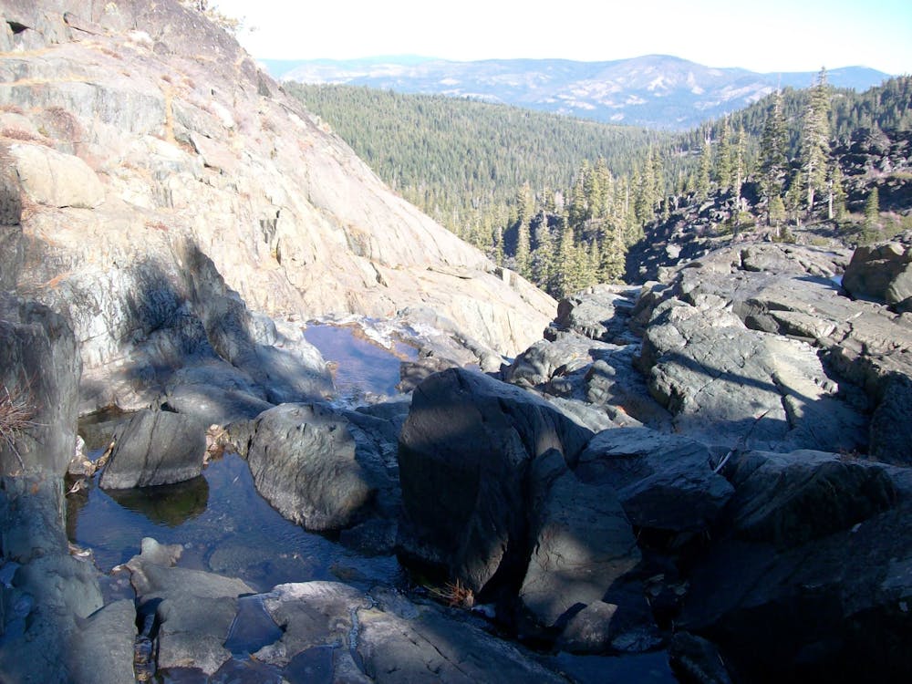
Dip your toes into Lakes Basin hiking!
Difficult Hiking
1.9 km away
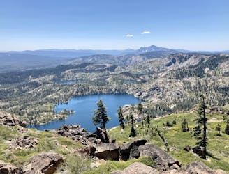
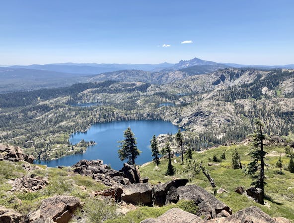
Gain stunning views above the Lakes Basin area from the summit of Mt. Elwell.
Difficult Hiking
2.3 km away

One of the quickest lake hikes in the Lakes Basin.
Moderate Hiking
6.1 km away
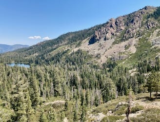
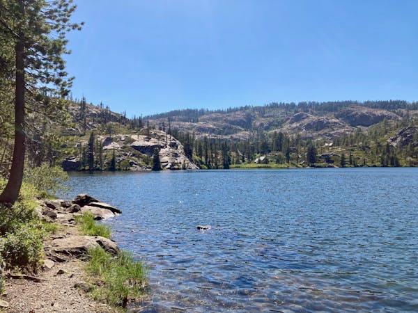
Hike to a pair of sublime alpine lakes in a rocky amphitheater.
Difficult Hiking
9.4 km away
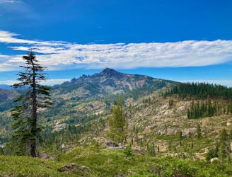
A stunning hike on the Pacific Crest Trail and the spine of the Sierras.
Difficult Hiking

5 routes · Hiking
7 routes · Hiking
4 routes · Hiking · Stand Up Paddle