2.4 km away
High Sierra Trail
A committing crossing of California's Sierra Nevada with the option to summit Mt. Whitney.
Difficult Hiking
- Distance
- 100 km
- Ascent
- 4.7 km
- Descent
- 4.2 km
One of the most popular hikes in Sequoia National Park leads to stunning 360-degree views of the region.
Hiking Moderate
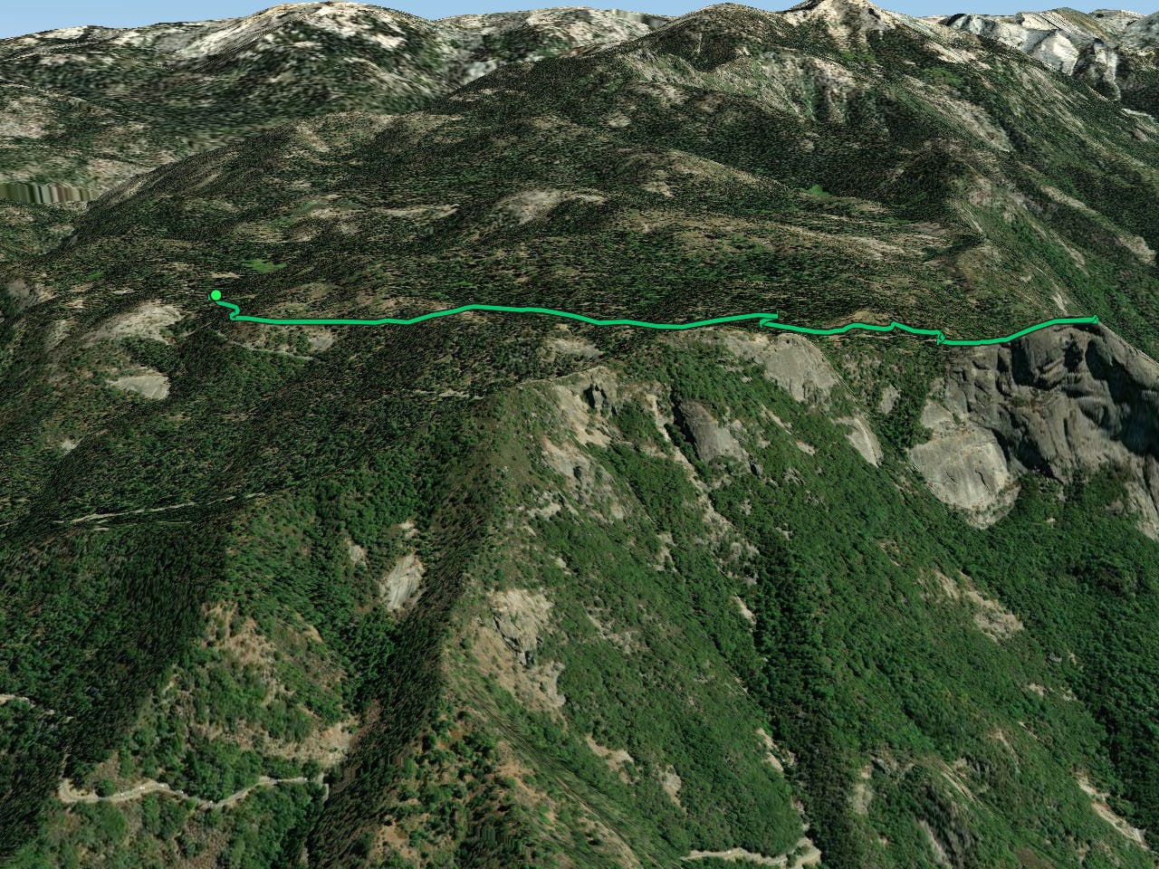
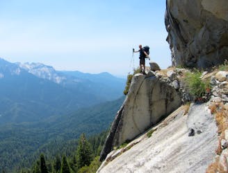
The Moro Rock Trail is an exposed granite dome that towers thousands of feet above the highway as you enter Sequoia National Park. While you can simply choose to view the dome from below, you can also hike to the very top!
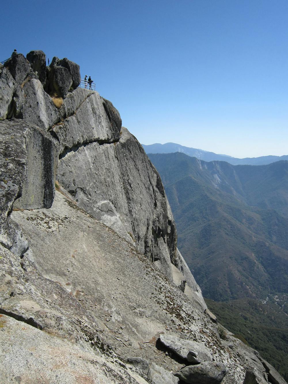
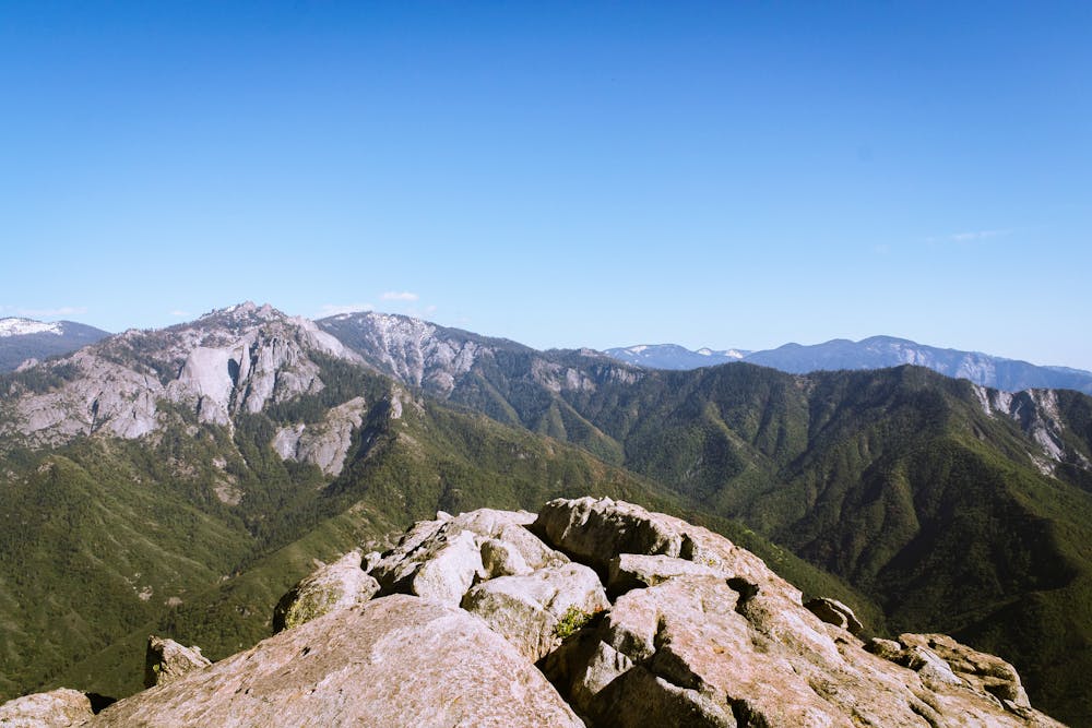
"A concrete and stone stairway leads over 350 steps to the top of Moro Rock," according to the NPS. "Even just a short distance from the parking area and above the forest's canopy, the Great Western Divide's peaks become visible. As you climb, views open up from the foothills and San Joaquin Valley to the west, to deep into wilderness to the east."
The logistics of parking your car and finding a way to reach Moro Rock are perhaps more difficult than climbing the staircase to reach the top of the rock. The closest significant parking area is at the Giant Forest Museum, and if you don't want to deal with shuttles, you can simply choose to hike the approach trail to the rock, as mapped here. For a shorter adventure, you can catch a shuttle bus that runs from the Giant Forest Museum to a drop off directly below the rock.
While Moro Rock soars to a height of 6,725 feet above sea level, you'll only have to climb the last 300 feet of that height to reach the top and the absolutely stunning views of the region. This short, easy staircase climb makes Moro Rock one of the most popular trails in Sequoia National Park.
Moderate
Hiking along trails with some uneven terrain and small hills. Small rocks and roots may be present.

Some trail sections have exposed ledges or steep ascents/descents where falling could cause serious injury.

Close to help in case of emergency.
2.4 km away
A committing crossing of California's Sierra Nevada with the option to summit Mt. Whitney.
Difficult Hiking
3.1 km away
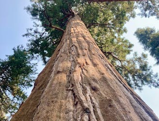
Hike past the largest tree in the world!
Easy Hiking
3.1 km away

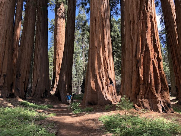
This 7-mile hike rolls through groves of the largest trees on planet earth.
Moderate Hiking
4.9 km away
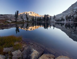
Widely regarded as one of the most incredible day hikes in the USA!
Difficult Hiking
6.4 km away
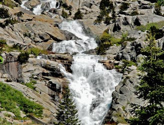
At 1,200 feet tall, Tokopah Falls is the tallest waterfall in Sequoia National Park.
Moderate Hiking

25 routes · Alpine Climbing · Hiking

5 routes · Alpine Climbing · Hiking
7 routes · Alpine Climbing · Hiking

14 routes · Hiking