0 m away
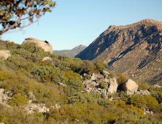
Pacific Crest Trail
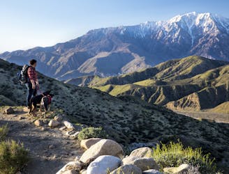
Legendary thru hike of America’s West Coast states, from the southern deserts at the Mexico border, through some of the country’s highest mountains, to the Northwest forests and the Canadian border.
Difficult Hiking
- Distance
- 4133 km
- Ascent
- 57 km
- Descent
- 56 km