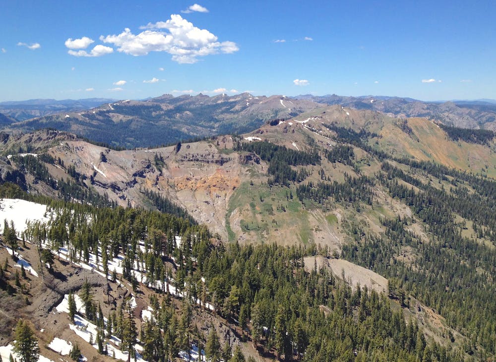
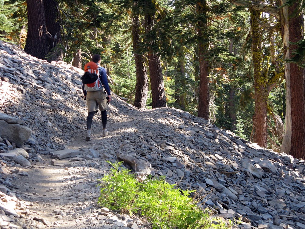
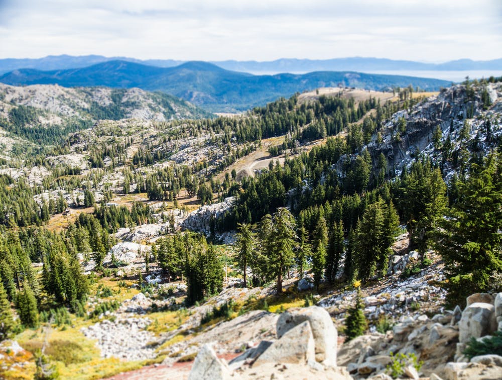
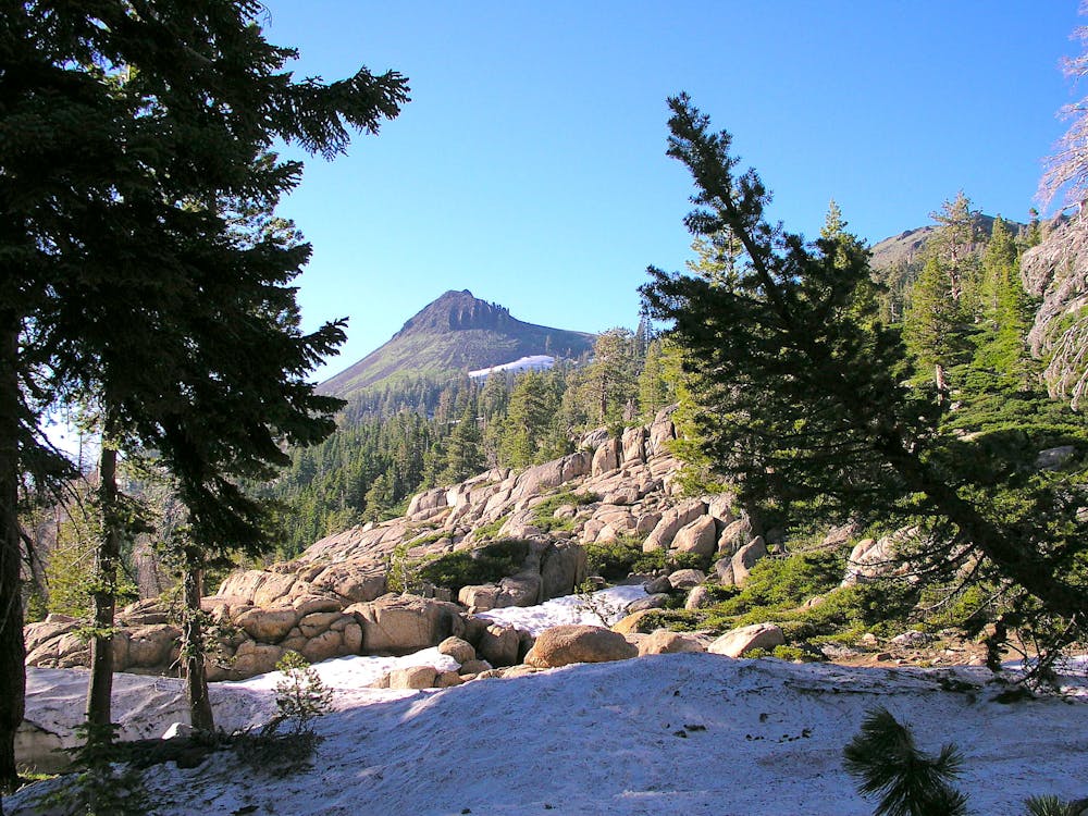
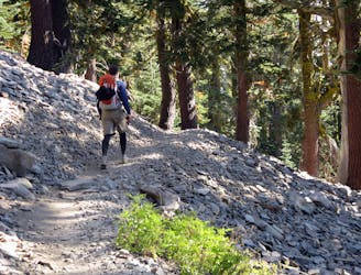
On this northern half of Section K, the PCT traces the Sierra Crest on a procession of volcanic peaks. At first contouring rubbly slopes with alternating forest and meadows, the trail then climbs above the treeline. Views erupt to Lake Tahoe and craggy mountains all around, on a miles-long line across the sky. On this segment, you’ll trek across the Granite Chief wilderness, traverse iconic ski runs at Squaw Valley, and descend to the site of infamous history at Donner Pass. In peak season, the main challenges are the rocky trail plus constant ups and downs. In early season, however, snow can be a nuisance and a hazard. In late season, streams may go dry. It’s advisable to consult the PCT Water and Snow Report, as well as other sources, to plan for conditions.
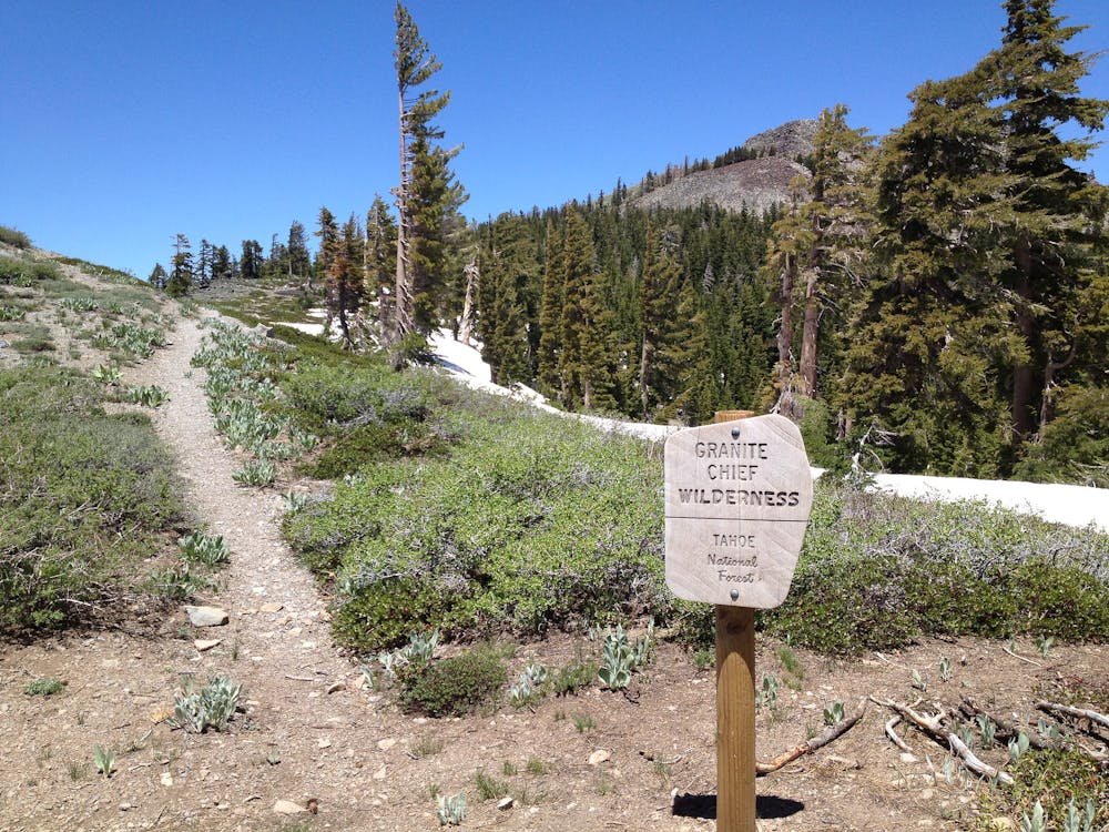
From the road at Barker Pass (NB mile 1124.8) the PCT/TRT ascends gently at first, along rolling slopes with trees and meadows that color with the seasons. After rounding a mountain, the trail tips into a forested bowl, where a few campsites lie beside a trickling creek (NB mile 1127.1). The trail continues along talus slopes, with a peek at Lake Tahoe to the east. Then a short but steep set of switchbacks gains the crest of a panoramic ridge, and the trail enters the Granite Chief Wilderness (NB mile 1129.5).
Just ahead, on the flank of a crag called the Twin Peaks, the Tahoe Rim Trail splits off. The PCT continues along the crest, embarking on a grand ridge traverse. For the next several miles, the views are phenomenal––if the weather is clear––over the blue lake and a sea of green mountains. If the weather is bad, this ridge is not a fun place to be. Water and campsites finally come at Five Lakes Creek (NB mile 1135.9), after the trail switchbacks downhill and reenters the woods.
Soon the ascent resumes through a forested valley that’s studded with granite. Small creeks and campsites are scattered throughout. After a prolonged climb, the trail emerges in mountain meadows near the top of Squaw Valley (NB mile 1140.3). Then it descends steeply, on slopes that make the ski runs in winter but become boulder fields in summer. A number of connector trails lead down to the base area, in case you want to visit the lodge. Otherwise the PCT stays high, traversing cliffy slopes through the ski area. Squaw Creek (NB mile 1140.8) flows through a perched alpine meadow, and may be the last reliable water until Donner Pass.
A forested ridge delivers the trail farther downhill, but only to turn up again after crossing a seasonal stream near a trail junction (NB mile 1143.4). It’s a rather strenuous climb through rocky forest and meadows, then onto talus slopes to surpass the timberline once more. Crossing a barren plateau near Tinker Knob leads to another jaw-dropping ridge walk, then a downhill slant through volcanic escarpments on Anderson Peak (NB mile 1147).
The walk continues along this windswept ridge, which slopes lazily on one side and drops precipitously on the other. The trail remains on the safer terrain, but grants big views in all directions. After one steeper section on the flank of Mount Lincoln, the trail bypasses the summit and enters Sugar Bowl ski resort (NB mile 1151). A descent across the ski runs soon leads to a trailhead with parking on Old Donner Pass Road (NB mile 1153.2). The PCT joins this road briefly to cross the highway at Donner Pass.
Donner Pass makes a reasonable place to hitch west into Soda Springs or east into Truckee. Alternatively, you may walk just half a mile west to reach the ski resorts. Donner Ski Ranch has a restaurant, lodging, and can accept packages. Sugar Bowl Resort is a little farther away and has similar amenities.
Permits:
This stretch of trail through Tahoe National Forest and Granite Chief Wilderness does not currently require any permits or fees for hiking or camping. But as always, hikers are expected to Leave No Trace and must follow all wilderness regulations that apply.
Sources:
https://www.fs.usda.gov/recarea/ltbmu/recarea/?recid=11819
https://pctmap.net/trail-notes/
https://pctwater.com/