
72 routes · Hiking
Miles 329-342 of the Northbound PCT: Finishing up Section C to meet the interstate at Cajon Pass.
Hiking Moderate

These are the final miles of California Section C northbound, leading to Interstate 15 at Cajon Pass. This segment crosses hilly terrain covered in low chaparral and intersects some OHV trails. There are rewarding views of the mountains, but the trail here holds nothing too remarkable. The main appeal of this segment is checking off the last of Section C, and perhaps reaching the oft-anticipated McDonalds at Cajon Pass.
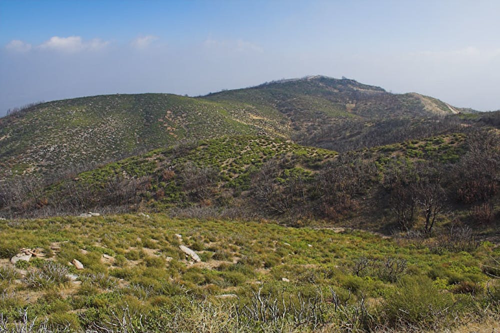
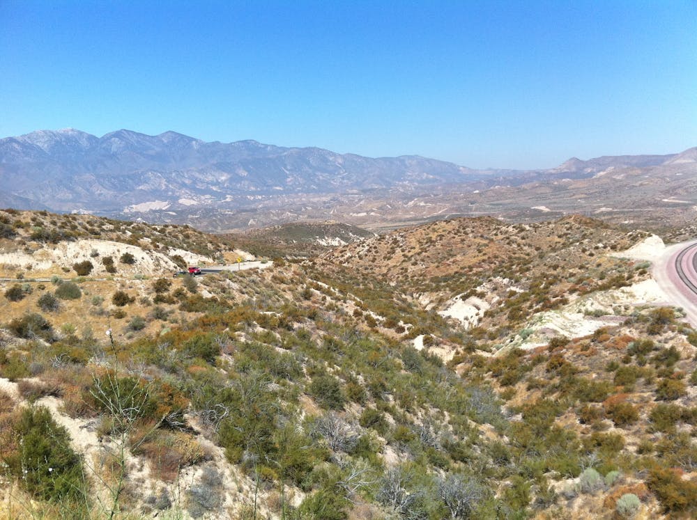
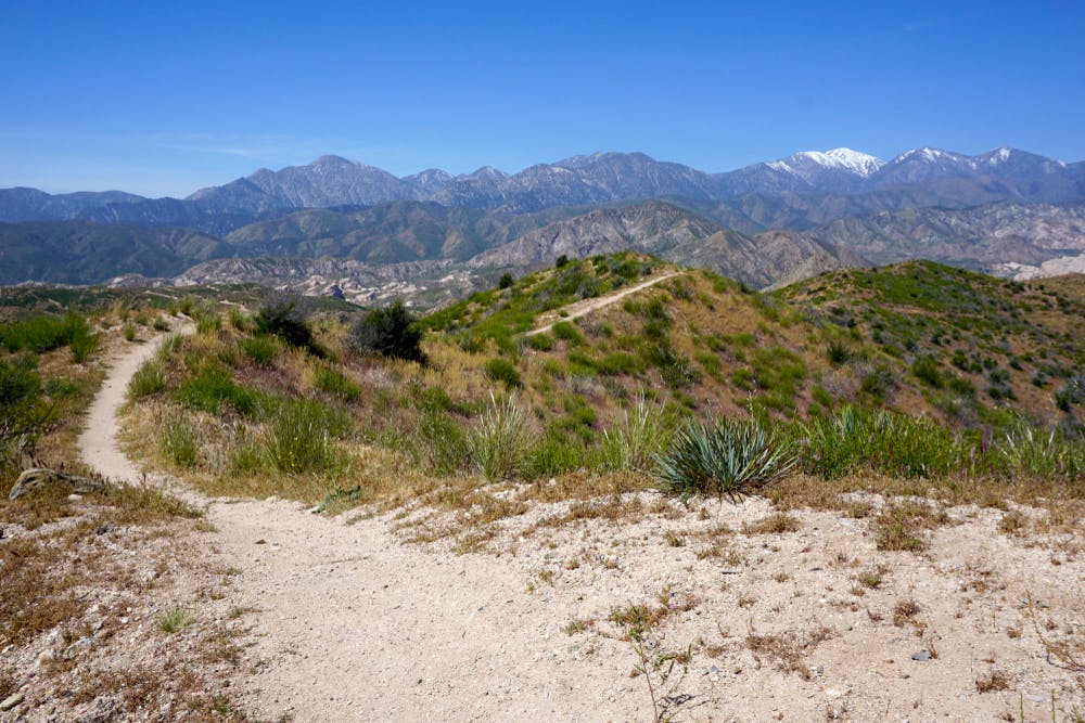
After passing under Highway 138 near Silverwood Lake (NB mile 329), the PCT passes a few campgrounds then makes a moderate climb over Cleghorn Ridge. It crosses a jeep road at a viewpoint (NB mile 332.3), then begins a traversing descent into another valley. After that, a series of ups and downs comprise the remaining miles to the interstate (NB mile 342). One section offers a surprisingly dramatic vista, atop a ridge with a sheer drop on one side.
There are a few seasonal streams along this stretch from Silverwood to Cajon Pass, though you’ll want to check the PCT Water Report for their conditions. If none are suitable, you’ll have to wait until reaching I-15 to get water from one of the businesses.
A short detour to the interstate exit leads to McDonalds, a gas station, and mini-mart. The Cajon Pass Inn is one option for spending the night here, or you might settle for dispersed camping nearby. Keep in mind that the next section northbound has a long and exposed climb with potentially no water for more than 20 miles.
For those interested in section hiking to/from Cajon Pass, note that there is no official trailhead or secure parking area. Better to get dropped off, or to start your hike from elsewhere if you need to leave a car.
Permits: Here the PCT goes through a portion of San Bernardino National Forest that does not require permits for hiking or camping. The California Fire Permit may still be required for use of a stove, however.
Sources: https://pctmap.net/trail-notes/ https://pctwater.com/ https://www.fs.usda.gov/recarea/sbnf/recreation/hiking/recarea/?recid=70990&actid=51
Moderate
Hiking along trails with some uneven terrain and small hills. Small rocks and roots may be present.

The trail contains some obstacles such as outcroppings and rock which could cause injury.

Close to help in case of emergency.
72 routes · Hiking