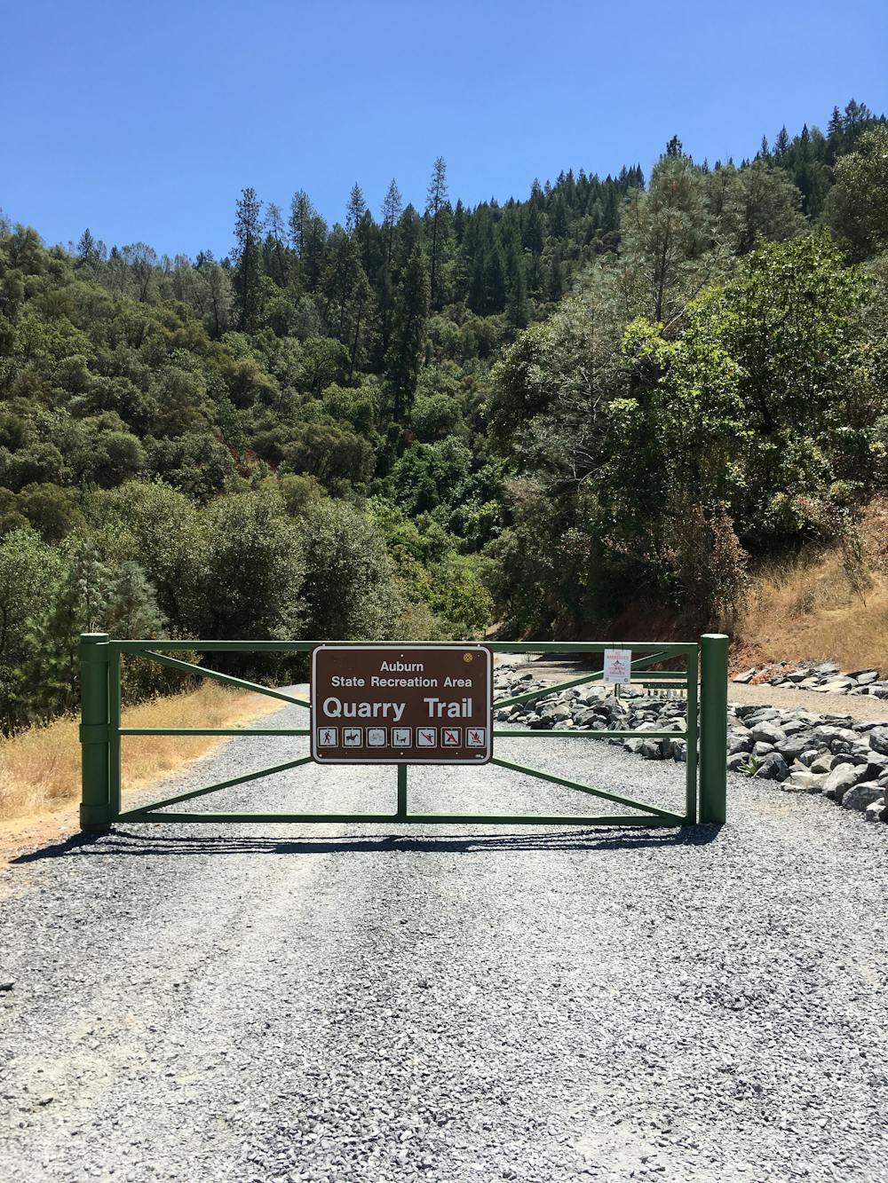
Quarry Trail Lollipop
A beautiful riverside ramble combined with some tougher singletrack.
Hiking Moderate
- Distance
- 15 km
- Ascent
- 507 m
- Descent
- 508 m
- Duration
- 3-4 hrs
- Low Point
- 174 m
- High Point
- 487 m
- Gradient
- 9˚

The Quarry Trail Lollipop is a popular hike in the Auburn State Recreation Area that combines an old road grade with some singletrack trails. The old road grade roughly parallels the Middle Fork American River, providing beautiful views of the water and valley.
Description
The Wendell T Robie Trail forms the other half of the loop portion of this hike. With steeper climbing up the mountainside, this trail adds a bit more difficulty and strenuousness to the hike. For an easier jaunt, just stick to the lower trail.
This hike is notable as a portion of the famous Western States 100 trail running course. There's also an old quarry located just off the hiking route that's a popular rock climbing area.
Sources: https://placerdigital.com/hiking-trails/quarry-trail/
Difficulty
Moderate
Hiking along trails with some uneven terrain and small hills. Small rocks and roots may be present.