1.5 km away
Long Lake Lollipop
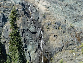
Challenging hike in the Lakes Basin.
Severe Hiking
- Distance
- 11 km
- Ascent
- 557 m
- Descent
- 558 m
One of the quickest lake hikes in the Lakes Basin.
Hiking Moderate

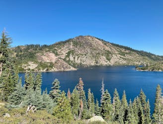
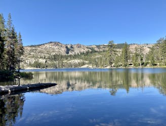
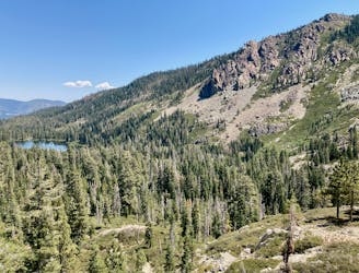
While some of the lake hikes in the Lakes Basin area can be lengthy, covering rocky, challenging terrain, this two-mile out-and-back hike to Smith Lake is one of the shortest and least technical hikes in the region.
The trail begins from a well-developed trailhead, gaining elevation almost immediately. While there are some rocks in the trail tread on the climb, the trail is quite easy to negotiate overall. While the initial climb can feel exposed and hot in the sunlight, the grunt is over quickly as you crest the ridge and descend slightly to reach the lake.
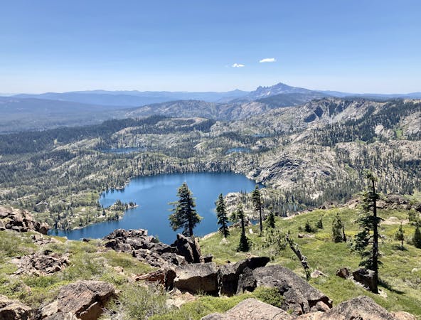
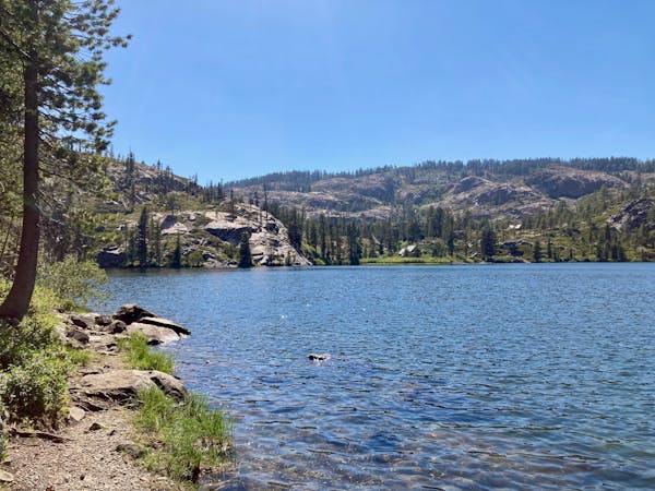
Once at Smith Lake, you can opt to hike further down the shores of the lake, or even circumnavigate the lake, turning this out-and-back hock into a lollipop. If you choose the loop option, you’ll add a bit more climbing as you gain a low ridge above the lake… but that added elevation provides stunning views of Smith Lake Below! Just be sure to save enough energy for the return trip to the trailhead.
Moderate
Hiking along trails with some uneven terrain and small hills. Small rocks and roots may be present.

The trail contains some obstacles such as outcroppings and rock which could cause injury.
Away from help but easily accessed.
1.5 km away
Challenging hike in the Lakes Basin.
Severe Hiking
2.3 km away
One of the most popular sights in the Lakes Basin.
Easy Hiking
3.6 km away
Dip your toes into Lakes Basin hiking!
Difficult Hiking
3.6 km away
Gain stunning views above the Lakes Basin area from the summit of Mt. Elwell.
Difficult Hiking
3.9 km away
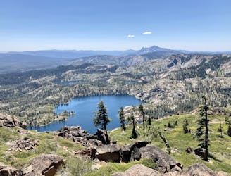
Hike to a pair of sublime alpine lakes in a rocky amphitheater.
Difficult Hiking

5 routes · Hiking
7 routes · Hiking
4 routes · Hiking · Stand Up Paddle