
8 routes · Mountain Biking · Hiking · Trail Running
One of the most popular trail systems in San Diego.
Mountain Biking Difficult

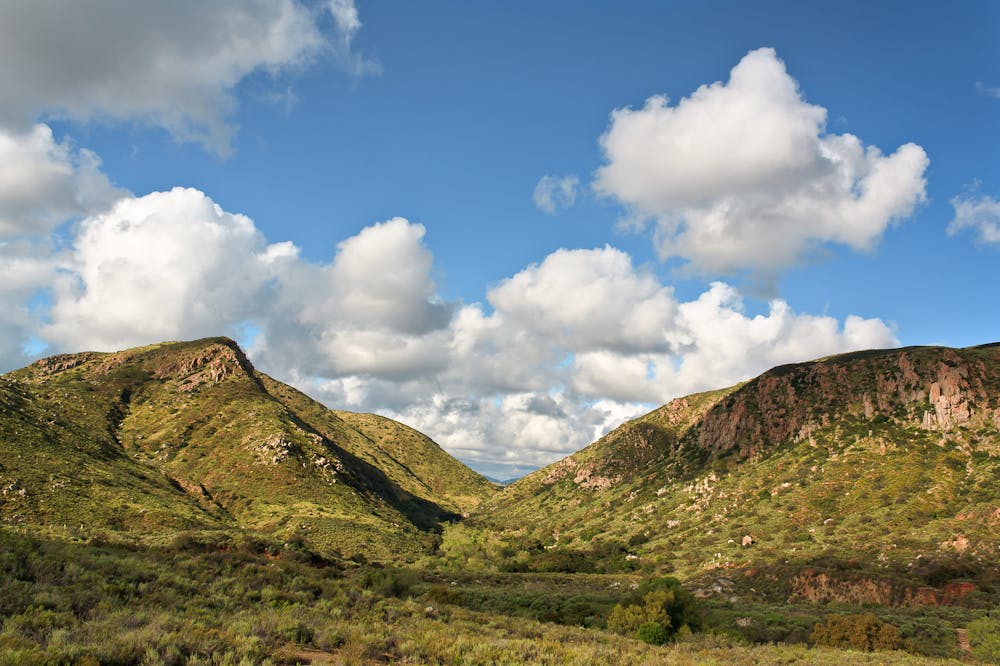
Mission Trails Regional Park is one of the most popular trail systems in the San Diego area. This centrally-located park boasts over 65 miles of trails spread across 8,000 acres of land.
This complex trail system mostly consists of doubletrack and fire road, but there are a few sweet sections of singletrack to be found here. The route shown here incorporates some of the best singletrack in the trail system. The singletrack especially can get rocky, rough, and technical, but the challenge is part of the reward!
Since this trail system is located just 8 miles from downtown San Diego, it is extremely popular. On any day of the week, you can find hikers, mountain bikers, and trail runners frequenting the trails. Weekends are especially busy. Remember that mountain bikers should yield to hikers and runners and always ride in control.
Sources: https://mtrp.org/the-park-2/
Difficult
Mostly stable trail tread with some variability featuring larger and more unavoidable obstacles that may include, but not be limited to: bigger stones, roots, steps, and narrow curves. Compared to lower intermediate, technical difficulty is more advanced and grades of slopes are steeper. Ideal for upper intermediate riders.

The trail contains some obstacles such as outcroppings and rock which could cause injury.

Close to help in case of emergency.
8 routes · Mountain Biking · Hiking · Trail Running