2 km away
The Luge

An iconic flow trail that predates the advent of the modern flow trail.
Moderate Mountain Biking
- Distance
- 12 km
- Ascent
- 435 m
- Descent
- 435 m
Old camp and Cadillac trails
Mountain Biking Severe

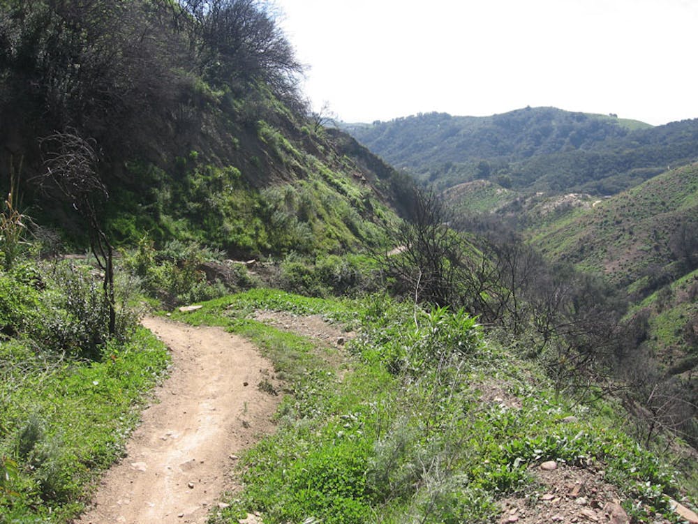
This is a popular mountain biking route which is generally considered to be severe. It's remote, it features high exposure and is typically done all year round. From a low point of 277 m to the maximum altitude of 972 m, the route covers 34 km, 1103 vertical metres of ascent and 1104 vertical metres of descent.
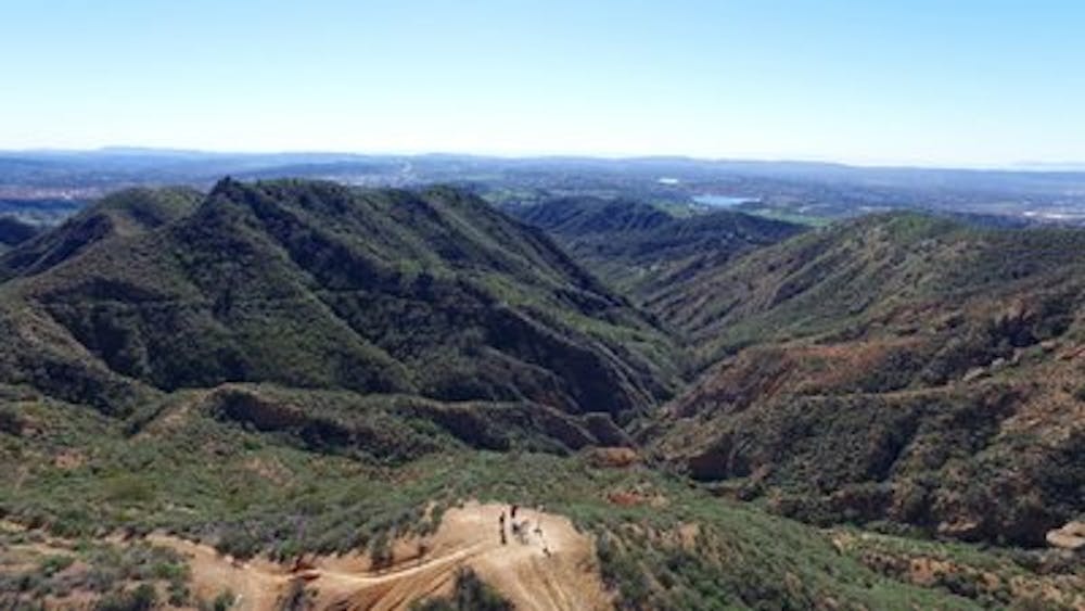
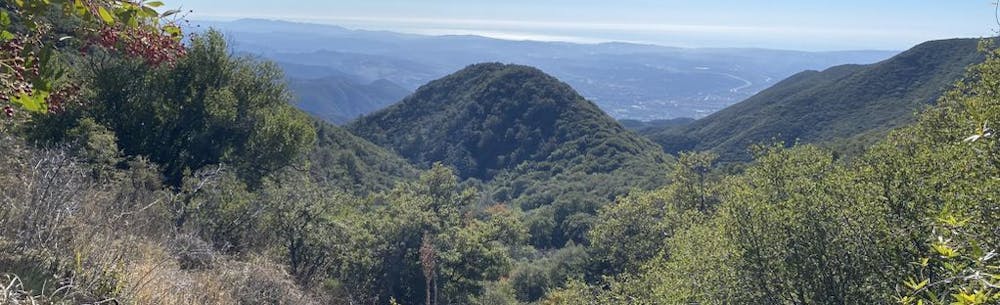
Long climb to old camp and descent via Cadillac
Severe
Widely variable, narrow trail tread with steeper grades and unavoidable obstacles of 15in/38cm tall or less. Obstacles may include unavoidable bridges 24in/61cm wide or less, large rocks, gravel, difficult root sections, and more. Ideal for advanced-level riders.

Some trail sections have exposed ledges or steep ascents/descents where falling could cause serious injury.

Away from help but easily accessed.
2 km away
An iconic flow trail that predates the advent of the modern flow trail.
Moderate Mountain Biking
4.3 km away
An expansive open space offering connections to other nearby trails.
Moderate Mountain Biking
13 routes · Mountain Biking