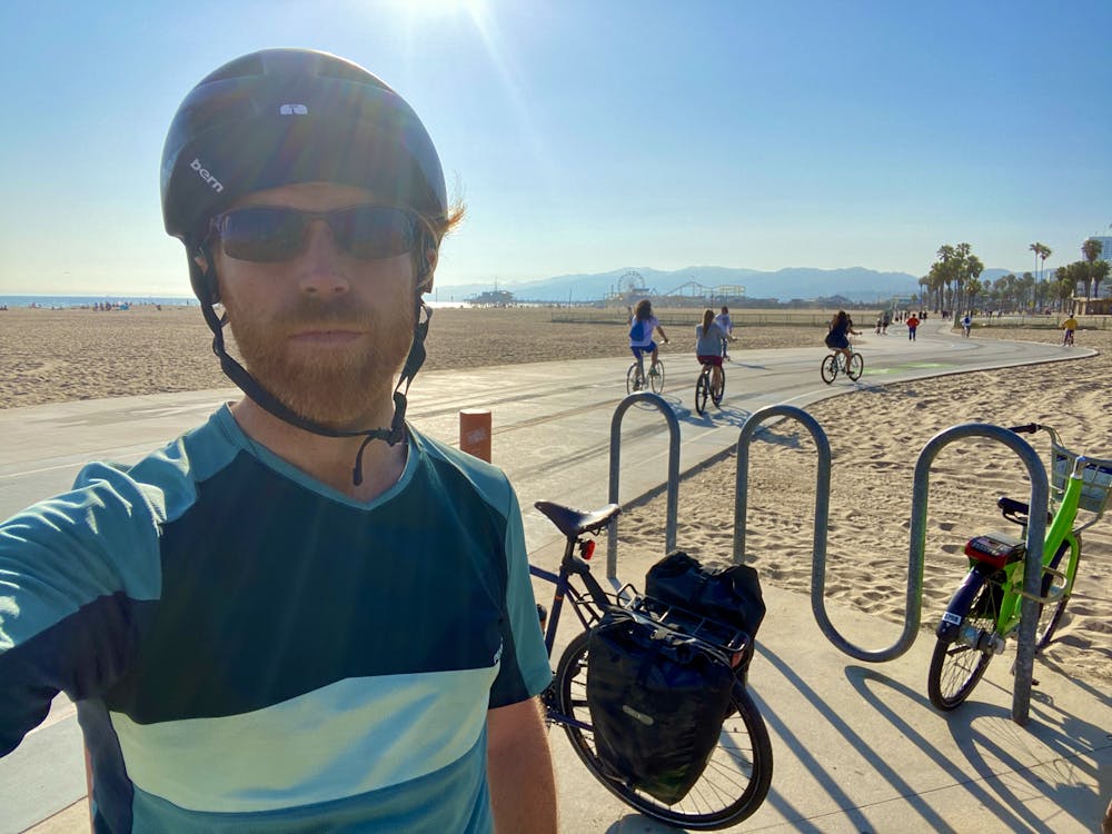
Ventura to Los Angeles
Los Angeles
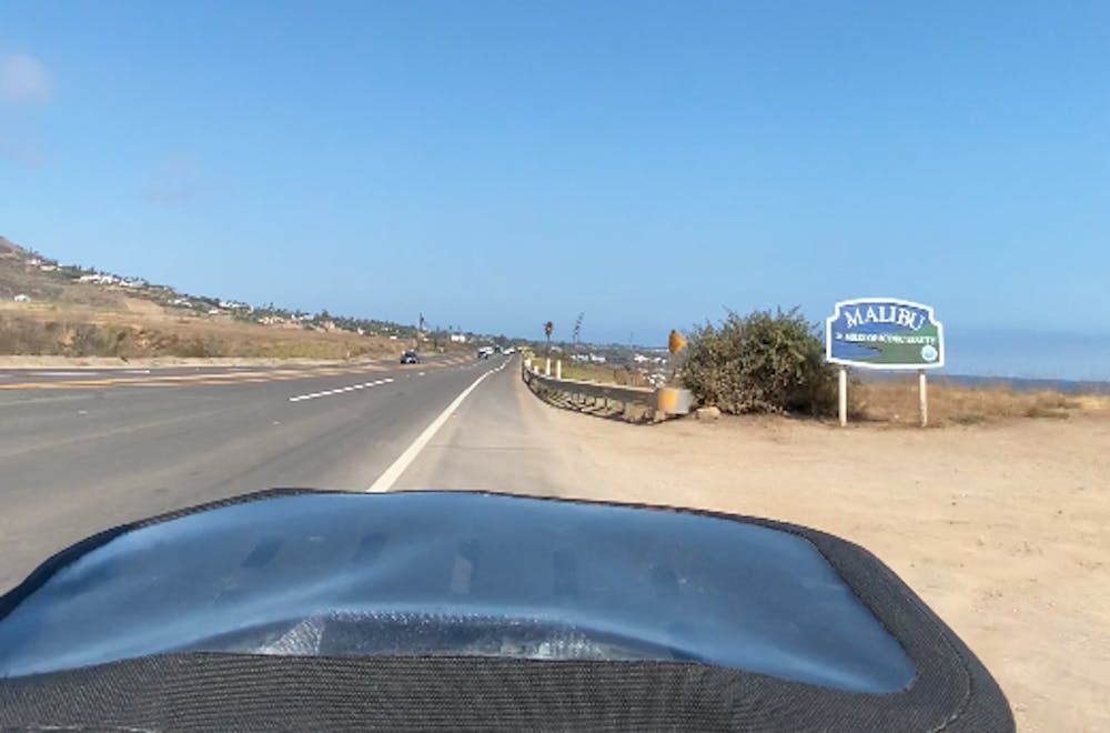
Santa Monica Mountains
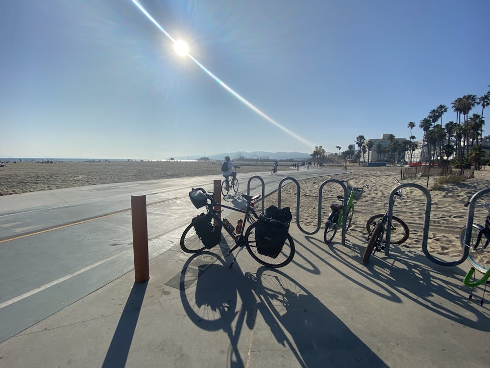
The final day of my bike tour took me through the glitzy beach town of Malibu.
Road Biking Moderate
- Distance
- 97 km
- Ascent
- 562 m
- Descent
- 546 m
- Duration
- 4-5 hrs
- Low Point
- 1 m
- High Point
- 63 m
- Gradient
- 2˚

This is a popular road biking route which is generally considered to be moderate. It's an unknown remoteness, it features unknown exposure and is typically done in an unknown time of year. From a low point of 1 m to the maximum altitude of 63 m, the route covers 97 km, 562 vertical metres of ascent and 546 vertical metres of descent.
- •
- •
- •
- •
- •
Description
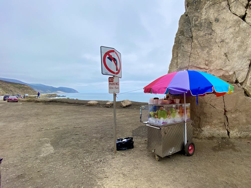
While the beginning of the ride was mostly through coastal suburban sprawl, once you enter the Malibu coast, it shifts to beautiful beach front properties.
Difficulty
Moderate