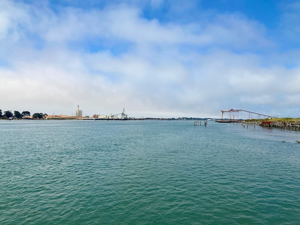
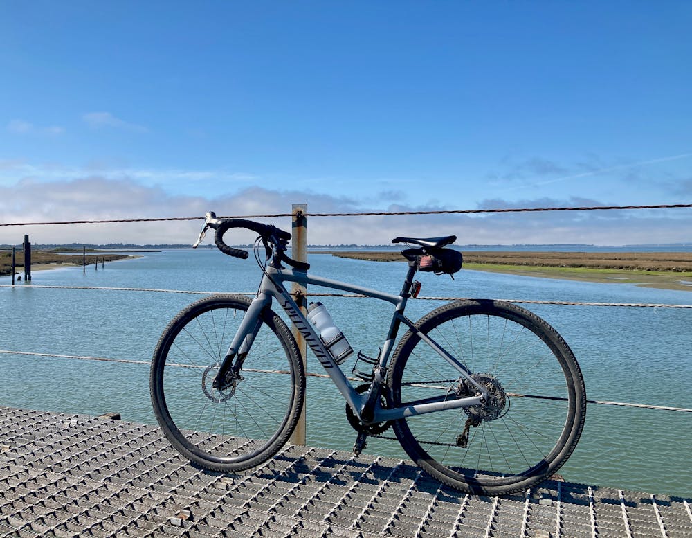
Waterfront Trail
Scenic greenway along the waterfront.
Road Biking Easy
- Distance
- 11 km
- Ascent
- 33 m
- Descent
- 37 m
- Duration
- 0-1 hrs
- Low Point
- 0 m
- High Point
- 9 m
- Gradient
- 0˚

This is a popular road biking route which is generally considered to be easy. It's an unknown remoteness, it features unknown exposure and is typically done in an unknown time of year. From a low point of 0 m to the maximum altitude of 9 m, the route covers 11 km, 33 vertical metres of ascent and 37 vertical metres of descent.
- •
- •
Description
This scenic greenway tours the waterfront near Eureka, CA. You'll enjoy beautiful views of the estuary along this ride.
Difficulty
Easy