9.6 km away
Zion Curtain
A demanding ride that will reward the technically-adept moto rider.
Severe Dirt Biking
- Distance
- 27 km
- Ascent
- 633 m
- Descent
- 632 m
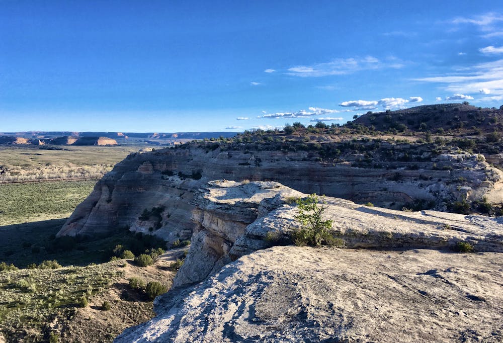
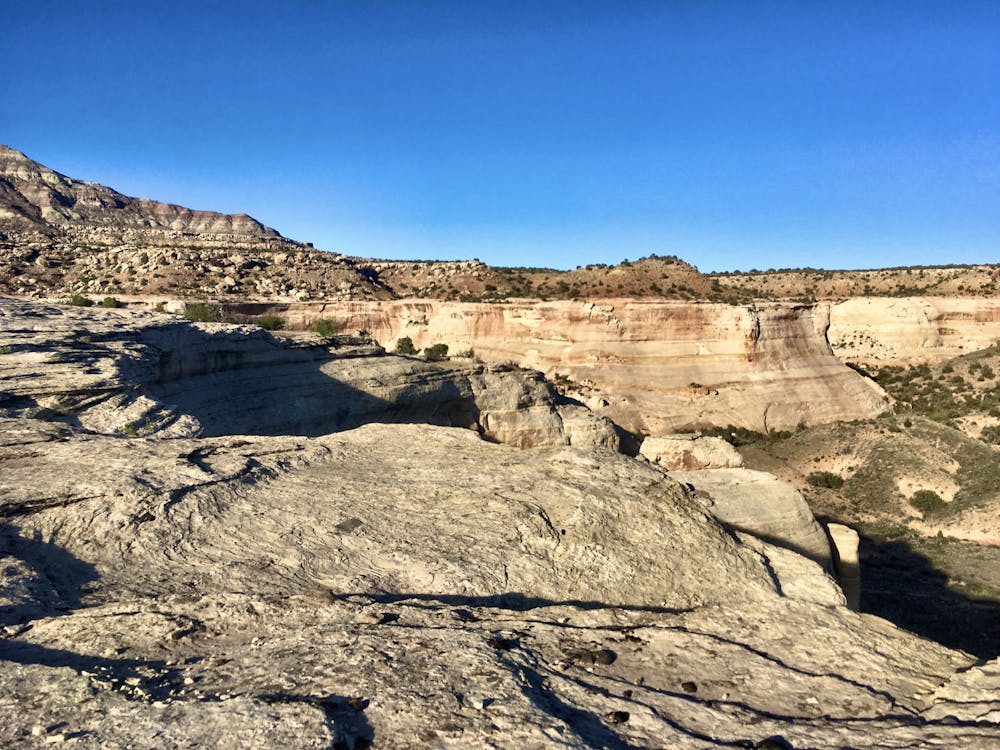
Gorgeous views off a bare rock rim.
Dirt Biking Moderate

If you don’t want to load up the motos every time you ride, it’s best to camp in a location where you can ride straight from the campsite. Several campgrounds in the Rabbit Valley area are conveniently located off of the I-70 Rabbit Valley exit. Whether you choose one of the developed campgrounds or opt for a dispersed camping site, camping in this area sets you up perfectly to ride directly to Western Rim without getting in your truck.
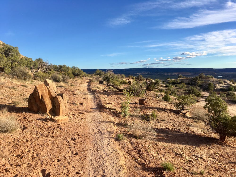
To get to Western Rim, pick up the #2 trail, and follow that all the way out to the rim trail. The #2 rolls up and down short, steep hills. While mostly smooth, some technical sections do punctuate the singletrack with sharp rock ledges.
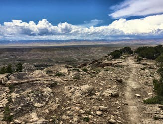
Once onto the Western Rim proper, the real fun begins! The singletrack gets narrower and a bit more technical, although overall this trail is very accessible to an intermediate rider. The track twists along the canyon rim, undulating up and down with a few entertaining rock gardens and slickrock slabs.
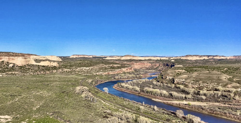
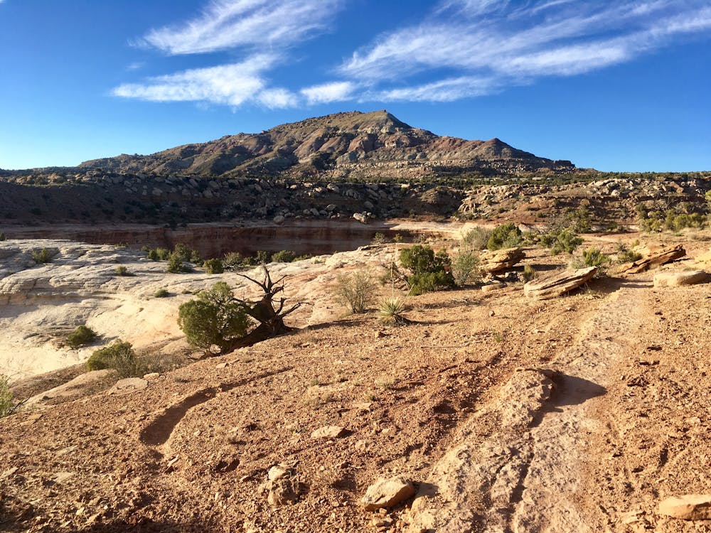
Undoubtedly the primary reason to ride this route is the views: the rim itself overlooks the Colorado River far below and provides expansive views of the river valley and the mountains in the distance. The rock rim itself is an impressive formation, exploding from the landscape below and forming a prominent bare rock ledge that runs for miles.
On the return trip, you have several choices. You can either return entirely on singletrack, making this an out-and-back. You can instead head up the dirt road from the end of the Western Rim trail and then pick up the #2 for the rest of the return (the lollipop loop mapped here). Or, for the speediest return, you can follow the dirt road the entire way back to camp.
For a longer route option, consider heading further west, and connecting to Zion Curtain, which is mapped separately.
However you slice it, the views on Western Rim are well-worth the effort!
Moderate

Some trail sections have exposed ledges or steep ascents/descents where falling could cause serious injury.
Little chance of being seen or helped in case of an accident.
9.6 km away
A demanding ride that will reward the technically-adept moto rider.
Severe Dirt Biking