1 m away
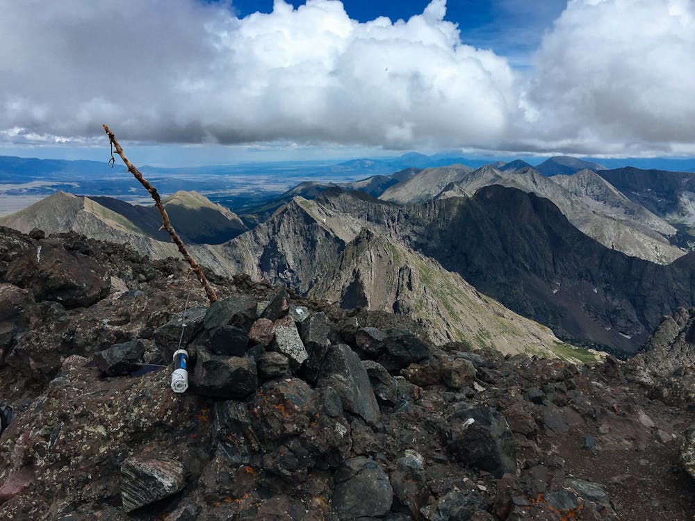
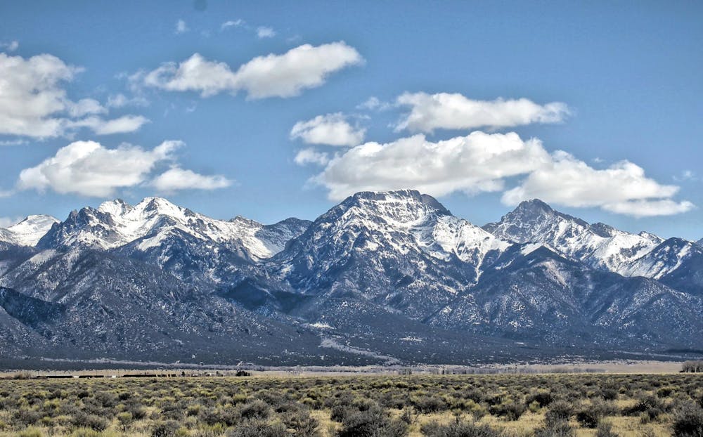
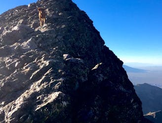
Crestone Needle
One of the most aesthetic and challenging Colorado 14ers.
Extreme Hiking
- Distance
- 18 km
- Ascent
- 1.7 km
- Descent
- 1.7 km
Climb one of the most beautiful and most challenging of Colorado's 14ers
Hiking Extreme

Note: this route warrants a "Moderate" Mountaineering difficulty rating.
While Crestone Peak and Crestone Needle are renowned as two of the most beautiful, most formidable, and most technical 14ers in Colorado, if you stick to the standard routes, you can tackle each peak individually with a Class 3 climb. "Among the last of the fourteeners to be scaled, along with Crestone Needle, this remote and rugged mountain was once thought impossible to climb," writes Matt Lemke on SummitPost.org.
The standard (and easiest) route up Crestone Peak is by no means the shortest. You'll have to lose and regain 800 feet of elevation, and "another 2,000 feet must be climbed up the sustained Red Couloir to the summit, and all climbing is rated at least Class 3," according to Lemke.
To begin the standard route up the south face, begin by following the gated 4x4 road to the approach trail. After gaining a low pass, you'll pass Cottonwood Lake and face your main ascent.
You can avoid the "steep rock at the base of the gully by following a small trail to about 12,700'," according to 14ers.com. Follow the cairns to negotiate this short trail.
Eventually, you'll reach the Red Gully and the main portion of your climb. While the climb is Class 3, it's not too difficult overall. However, the final pitch to the summit requires a scramble up a series of rock ledges. "Depending on your climbing skills, you may find this final pitch to be more difficult than the gully," according to 14ers.com. "After the short scramble from the notch, reach The Peak's rugged summit," they conclude.
Sources: https://www.summitpost.org/crestone-peak/150435 https://www.14ers.com/route.php?route=cpea2&peak=The+Crestones+and+Humboldt+Peak
Extreme
Scrambling up mountains and along technical trails with moderate fall exposure. Handholds are necessary to navigate the trail in its entirety, although they are not necessary at all times. Some obstacles can be very large and difficult to navigate, and the grades can often be near-vertical. The challenge of the trail and the steepness of the grade results in very strenuous hiking. Hikes of this difficulty blur the lines between "hiking" and "climbing".

Some trail sections are extremely exposed where falling will almost certainly result in serious injury or death.
In the high mountains or remote conditions, all individuals must be completely autonomous in every situation.
1 m away
One of the most aesthetic and challenging Colorado 14ers.
Extreme Hiking
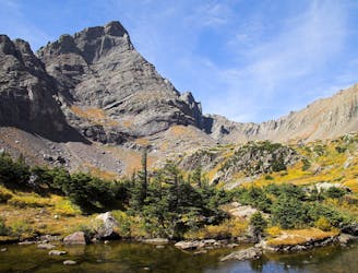
6.3 km away
Standard route up the Challenger Point and Kit Carson 14ers outside of Crestone, CO.
Extreme Hiking