3.9 km away
Hidden Valley Nature Walk
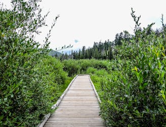
This short, easy walk offers a quick dose of nature in Rocky Mountain National Park.
Easy Hiking
- Distance
- 721 m
- Ascent
- 21 m
- Descent
- 22 m
Warm up the legs and take in the view, on this rewarding hike near the entrance to Rocky Mountain National Park.
Hiking Difficult

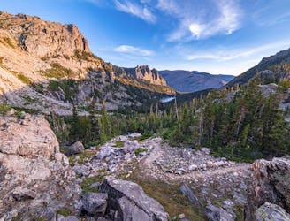
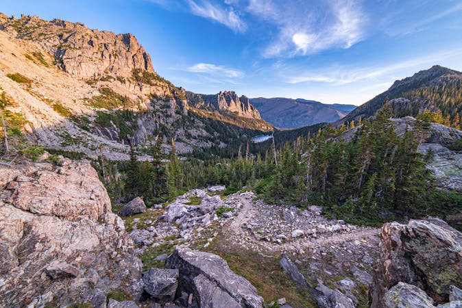
Deer mountain offers some of the best bang-for-your-buck views in the national park. Located close to the Beaver Meadows Visitor Center, it’s one of the first trailheads you’ll reach on Trail Ridge Road. Hiking to the top takes some work, but views are good all along the way, and especially at the top.
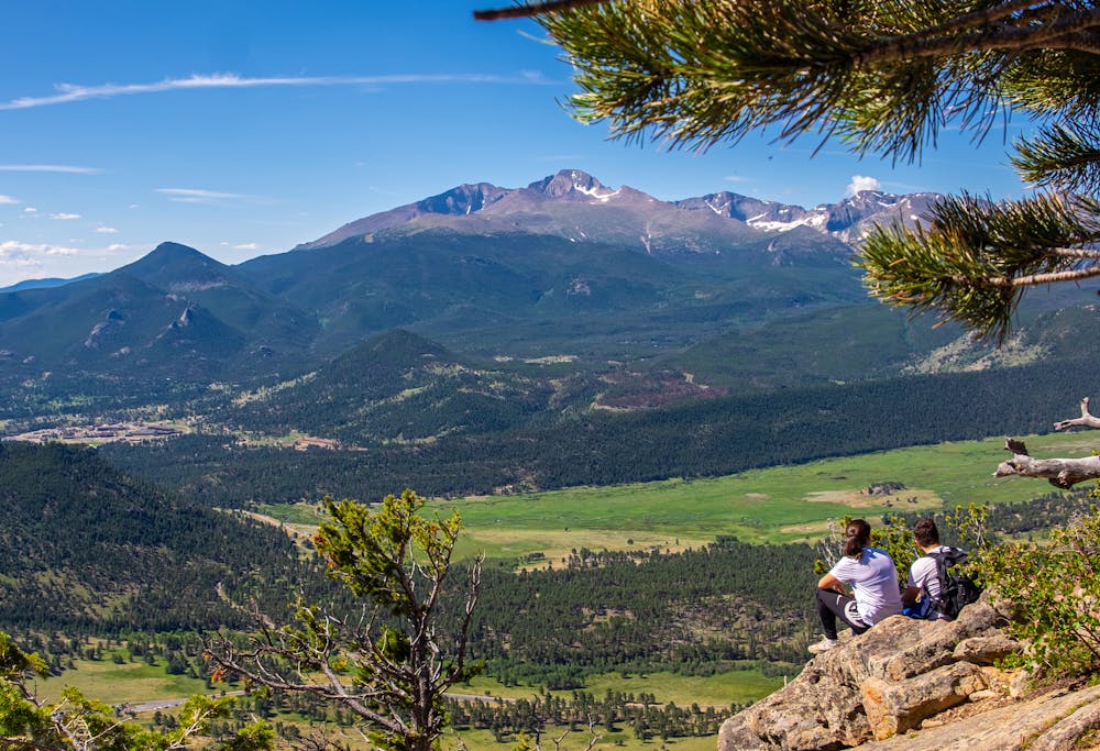
Starting uphill through spacious ponderosa forest, the trail approaches the base of the mountain and then gets steeper. There’s about a mile of steep and rocky switchbacks, sometimes in shade and sometimes on sunnier slopes. After gaining about 1,000 feet, the trail levels out, and even goes a bit downhill before tipping up again at the end. A set of stairs takes you to the summit, and the panorama unfolds. You’ll see the hulking Longs Peak, set on a horizon of mountains that form the Continental Divide. You can see Beaver Meadows and Moraine Park, plus part of the town below.
This hike can be good at any time of year. Due to its lower elevation and sunny slopes, the trail has a generally longer snow-free season than most of the park. It can be snowy in winter and early spring, however, when spikes or even snowshoes might be necessary.
Sources: https://www.nps.gov/romo/planyourvisit/hikes.htm https://www.mycoloradoparks.com/things-to-do/deer-mountain-trail
Difficult
Hiking trails where obstacles such as rocks or roots are prevalent. Some obstacles can require care to step over or around. At times, the trail can be worn and eroded. The grade of the trail is generally quite steep, and can often lead to strenuous hiking.

The trail contains some obstacles such as outcroppings and rock which could cause injury.

Close to help in case of emergency.
3.9 km away
This short, easy walk offers a quick dose of nature in Rocky Mountain National Park.
Easy Hiking
7.3 km away
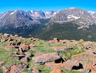
A walk through the alpine, far above treeline and away from the road.
Moderate Hiking
8.3 km away
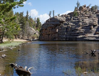
A calm little lake tucked in the chaotic boulders of Lumpy Ridge.
Difficult Hiking
8.9 km away
One-way hike using the park's free shuttle, connecting multiple alpine lakes and vistas.
Difficult Hiking
8.9 km away
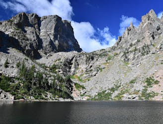
See four idyllic alpine lakes in one moderate hike.
Moderate Hiking
8.9 km away
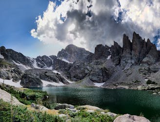
Begin on the popular trail to Alberta Falls, then ascend along creeks and lakes to one of the park's most dramatic alpine basins.
Severe Hiking
10 routes · Alpine Climbing · Hiking