1 km away
Prater Ridge Trail

Far and away the longest hike in Mesa Verde National Park
Moderate Hiking
- Distance
- 12 km
- Ascent
- 337 m
- Descent
- 337 m
A mellow hike with stunning views!
Hiking Easy

The Knife Edge trail is a flat, easy hike that traverses along a sharp escarpment, providing stunning views of the Montezuma Valley laid out below you. In the distance, you'll spot Sleeping Ute Mountain.
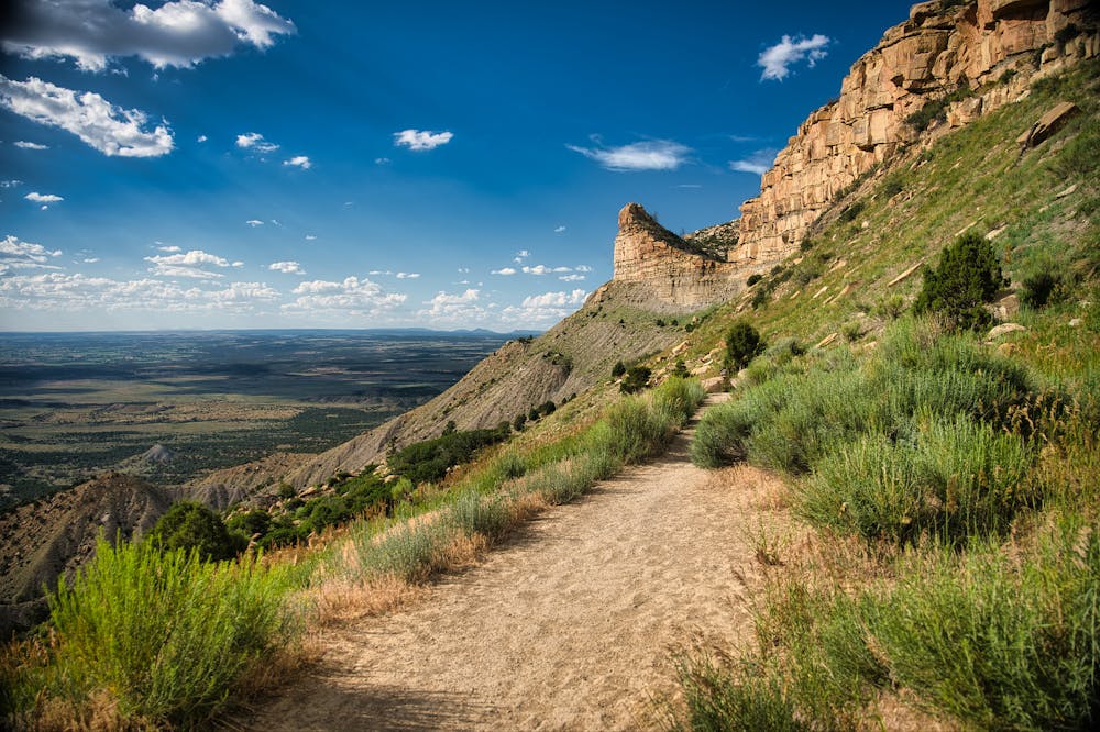
"This trail follows a section of one of the first roads ever built through Mesa Verde in 1914, Knife Edge Road," writes Samantha Ripley on UncoverColorado.com. "It was named for its steep overhangs; the path is said to hang on a “knife’s edge” and was incredibly dangerous to build and maintain," she continues.
The route as mapped covers 3.2 miles round-trip. If you're looking for more distance, you can continue past the Montezuma Overlook to continue following the old road grade even further. However, the most dramatic portion of the old road is mapped here.
Easy
Walking along a well-kept trail that’s mostly flat. No obstacles are present.

Some trail sections have exposed ledges or steep ascents/descents where falling could cause serious injury.

Close to help in case of emergency.
1 km away
Far and away the longest hike in Mesa Verde National Park
Moderate Hiking
6 routes · Hiking