5.9 km away
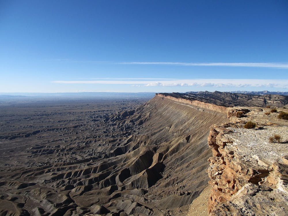
Palisade Rim
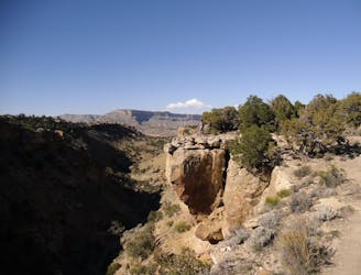
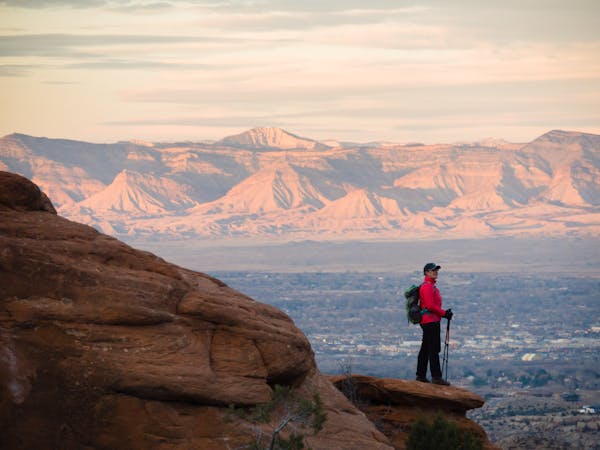
The Palisade Rim joins two great lollipop loops atop the rimrock overlooking the Grand Valley for a unique and entertaining Colorado Plateau hike.
Difficult Hiking
- Distance
- 15 km
- Ascent
- 438 m
- Descent
- 438 m
Hike to the prominent overlook above the Grand Valley.
Hiking Difficult

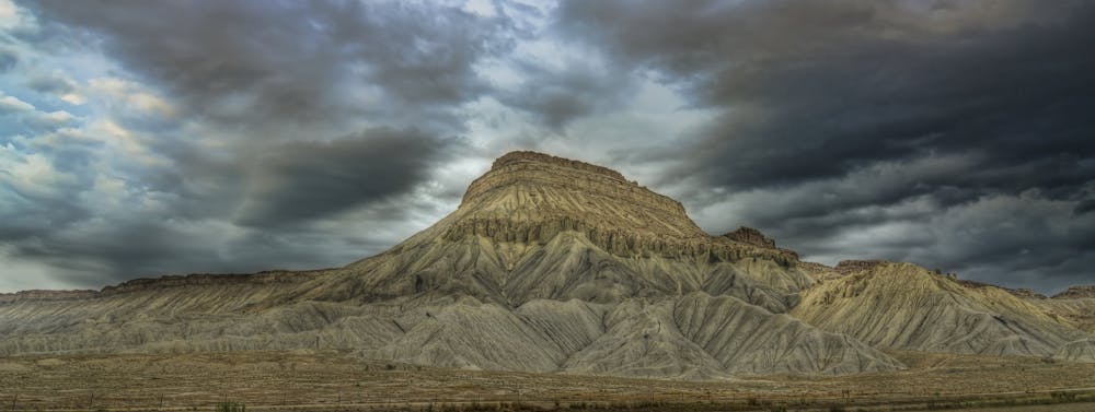
Mount Garfield is "the high point of the Book Cliffs, north of Grand Junction, and overlooking the town of Palisade,” according to Wikipedia). Though the mountain is relatively short in the grand scheme of Colorado peaks, this visible outcropping still serves as a popular objective for hikers and trail runners in the region.
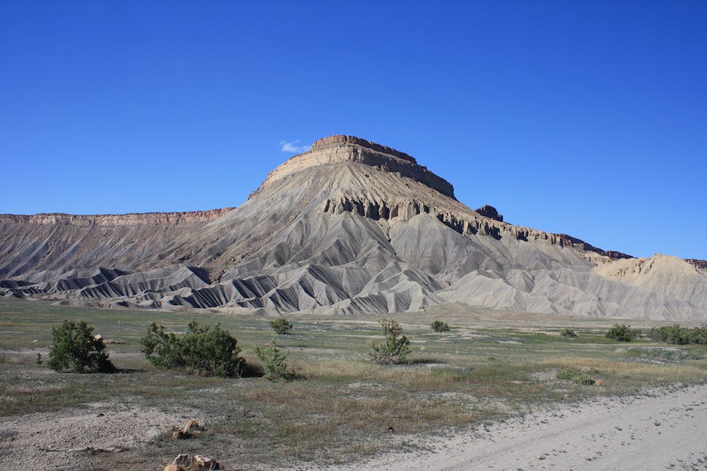
The standard route to the top measures 3.4 miles round-trip and climbs a steep 2,000 vertical feet in the first half of that distance. Despite being such a short hike, it takes most people about 2-4 hours to complete. The steep grades and loose, steep trail make this a more challenging, strenuous ascent than you’d think.
Along the way to the summit, the trail passes a series of impressive boulder formations, an abandoned coal mine, and even some Native American petroglyphs. The views of the valley throughout the hike are also remarkable and are only topped by the views from the summit.
Once at the summit, you’ll enjoy stunning vistas of “valleys, orchards, and farmland,” and even "Mt. Sneffels over 100 miles to the south” on a clear day, according to GJHikes.com.
Sources: GJHikes.com Wikipedia)
Difficult
Hiking trails where obstacles such as rocks or roots are prevalent. Some obstacles can require care to step over or around. At times, the trail can be worn and eroded. The grade of the trail is generally quite steep, and can often lead to strenuous hiking.

Some trail sections have exposed ledges or steep ascents/descents where falling could cause serious injury.

Close to help in case of emergency.
5.9 km away
The Palisade Rim joins two great lollipop loops atop the rimrock overlooking the Grand Valley for a unique and entertaining Colorado Plateau hike.
Difficult Hiking
10 routes · Hiking