7 km away
Little Bear Peak
One of the most technical and coveted 14er summits.
Extreme Hiking
- Distance
- 4.6 km
- Ascent
- 715 m
- Descent
- 715 m
One of the four 14er summits in the Sierra Blanca Massif.
Hiking Extreme

Note: this route warrants a "Moderate" Mountaineering difficulty rating.
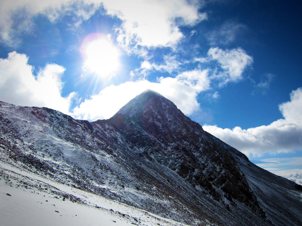
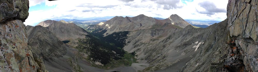
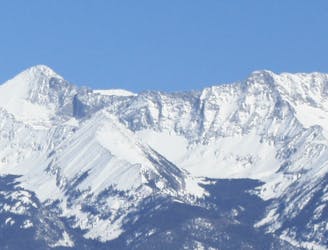
Mount Lindsey forms a part of impressive Sierra Blanca Massif, which also includes Blanca Peak, Ellingwood Point, and Little Bear Peak. The standard northwest route mapped here isn’t technically the easiest route, but it’s recommended due to the quality of the rock on the route. While this ascent technically is a Class 3 climb, the Class 3 section is short. The quality of the rock more than makes up for a few difficult moves.
The route mapped here approaches via a lengthy hike on the Lily Lake trail and another unmarked trail. When you reach the main climb, you’ll be able to spot the steep gully that forms the majority of your technical climb. The climbing in the gully offers some relatively stable rocks, but always be aware of loose rocks and dirt. Some Class 3 moves are required, but the climb is still relatively non-technical.
14ers.com warns that "Once the snow has melted out of the gully used in this route, consider using the Northwest Ridge route instead. The ridge is steeper, more exposed and requires plenty of Class 3 scrambling but it's much more stable. However, if you are freaked out by exposure or don't think you're up to scrambling on steeper rock, stick to this route…”
The route included here in FATMAP follows the gully. But to follow the ridge route, simply stay on the exposed ridge and make directly for the summit of Mount Lindsey.
Sources: https://www.summitpost.org/mount-lindsey/150496 https://www.14ers.com/route.php?route=lind1&peak=Mt.+Lindsey
Extreme
Scrambling up mountains and along technical trails with moderate fall exposure. Handholds are necessary to navigate the trail in its entirety, although they are not necessary at all times. Some obstacles can be very large and difficult to navigate, and the grades can often be near-vertical. The challenge of the trail and the steepness of the grade results in very strenuous hiking. Hikes of this difficulty blur the lines between "hiking" and "climbing".

Some trail sections have exposed ledges or steep ascents/descents where falling could cause serious injury.

In the high mountains or remote conditions, all individuals must be completely autonomous in every situation.
7 km away
One of the most technical and coveted 14er summits.
Extreme Hiking
7 km away
Tag two lofty summits on the Blanca Massif.
Extreme Hiking
7.7 km away
A secluded alpine lake trek.
Moderate Hiking