1.3 km away
Fremont Peak from the Royal Gorge Park

The easiest way to the top of Fremont Peak.
Difficult Hiking
- Distance
- 8.5 km
- Ascent
- 232 m
- Descent
- 232 m
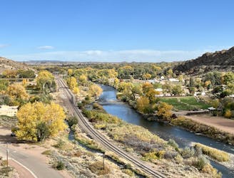
Hike along the rim of the 1,250-foot-deep Royal Gorge.
Hiking Moderate

The Arkansas River has carved a narrow gorge through the mountains near Canon City that’s now known as “The Royal Gorge.” Measuring 1,250 feet deep, the gorge is extremely narrow—only 50 feet wide at the bottom and 300 feet wide at the top. “Being one of the deepest canyons in Colorado, it is also known as the Grand Canyon of the Arkansas,” according to Wikipedia.
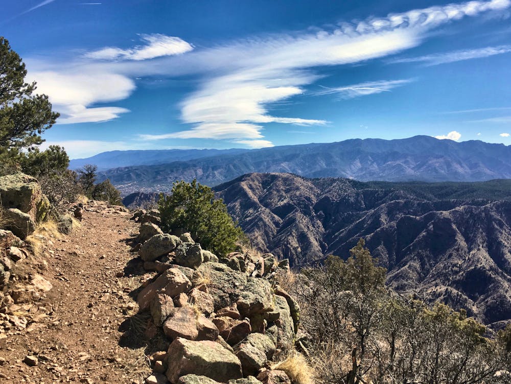
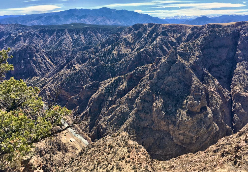
While most people choose to view the gorge from the massive suspension bridge that spans the canyon, located in the nearby Royal Gorge Park, you can instead choose to take a more adventurous approach by hiking along the rim itself. This hike will give you a multitude of angles to view the gorge from, and the ability to stop and ponder the immensity of the fissure in the rock below you.
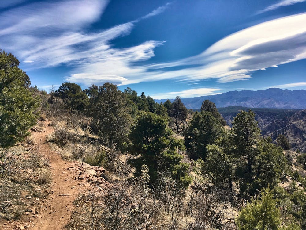
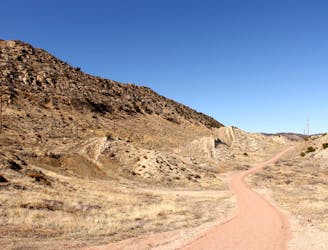
The hike itself is relatively flat, especially if you skip the lollipop portion on the southeastern end of this route. This flat route allows anyone to enjoy the stunning scenery from this trail! While there are some rocks in the trail tread itself, none are difficult to navigate or climb over, making for an easy, enjoyable hike.
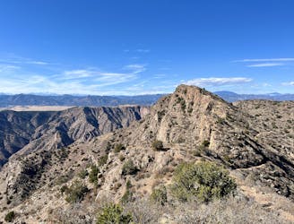
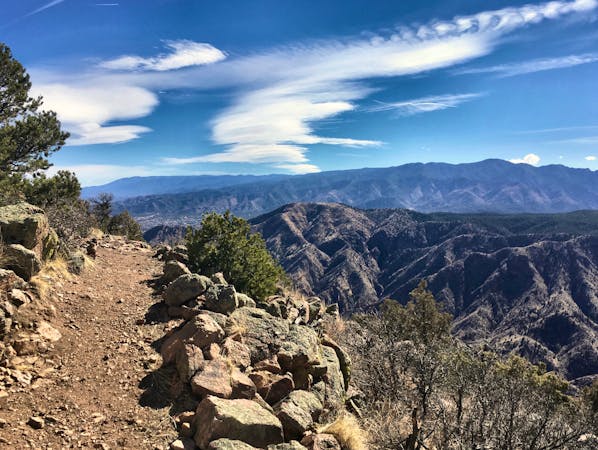
In addition to views down into the gorge, the Sangre de Cristo mountains rise up sharply in the distance, providing fantastic mountain views. And if you do climb the higher hill on the southeastern end of this route, then turn and look to the north, you’ll spot views of the famous Pike’s Peak—America’s mountain.
For the shortest and most rewarding route option, consider just hiking the lollipop portion to the west of the trailhead. Simply hiking this lollipop results in a short hike of less than two miles.
Moderate
Hiking along trails with some uneven terrain and small hills. Small rocks and roots may be present.

Some trail sections are extremely exposed where falling will almost certainly result in serious injury or death.

Away from help but easily accessed.
1.3 km away
The easiest way to the top of Fremont Peak.
Difficult Hiking
5.2 km away
Fremont Peak: the hard way.
Difficult Hiking
5.3 km away
An easy but beautiful hike into the Royal Gorge.
Easy Hiking
5.3 km away
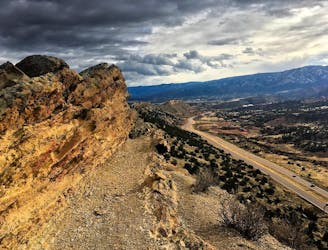
The Hogbacks trails can be accessed easily from downtown Canon City, providing incredible views over the city and the mountains beyond.
Severe Hiking
5.8 km away
An easy but scenic hike through the lower Hogbacks area.
Easy Hiking
9 routes · Hiking