4.2 km away
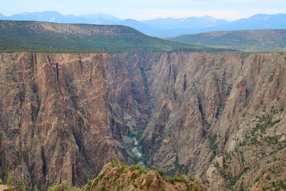
North Vista Trail to Exclamation Point
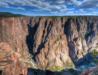
One of the top hikes in the national park.
Moderate Hiking
- Distance
- 4.6 km
- Ascent
- 105 m
- Descent
- 105 m
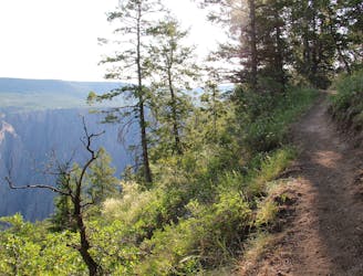
A short hike yielding impressive views!
Hiking Easy

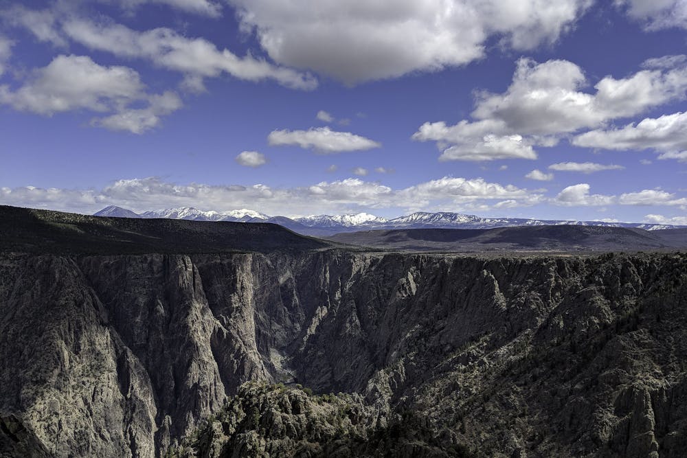
This short 1.5-mile round-trip hike leads to some of the most beautiful views of the Black Canyon of the Gunnison! The trail "skirts the south rim to Warner Point, which bears one of the widest views of the canyon, extending to the Painted Wall to the east and along the Gunnison’s gradual descent to the plateau to the west," writes Jonathan Stull on OutdoorProject.com. In the distance, the Elk Mountains provide a beautiful long-range backdrop.
"Don’t pass up the illustrated walking guide pamphlets as you begin your jaunt, because this undulating path has 14 sites of interest that you’ll want to read about," writes Lindsey B. King on 5280.com. The abundance of informational signs and stunning views make this one of the most popular hikes in the park. Almost anyone can negotiate this easily-accessible trail!
Easy
Walking along a well-kept trail that’s mostly flat. No obstacles are present.

The trail contains some obstacles such as outcroppings and rock which could cause injury.

Close to help in case of emergency.
4.2 km away
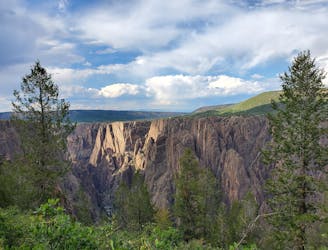
One of the top hikes in the national park.
Moderate Hiking
4.9 km away
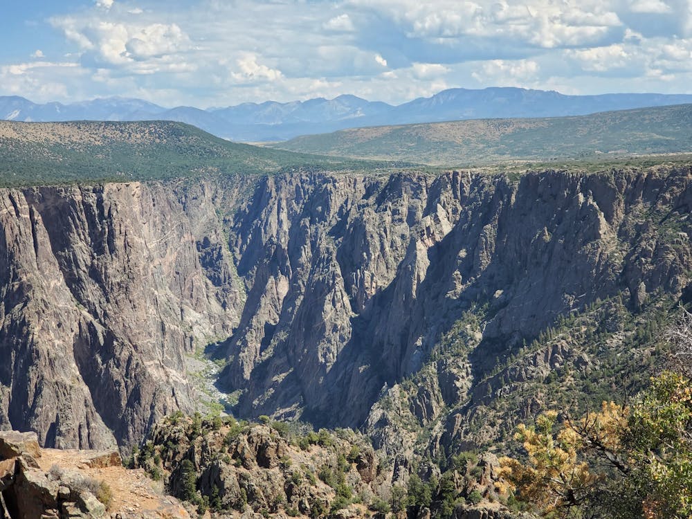
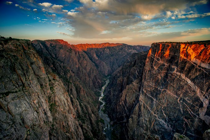
Stunning views with a bit more climbing than most rim hikes in the park.
Difficult Hiking
4.9 km away
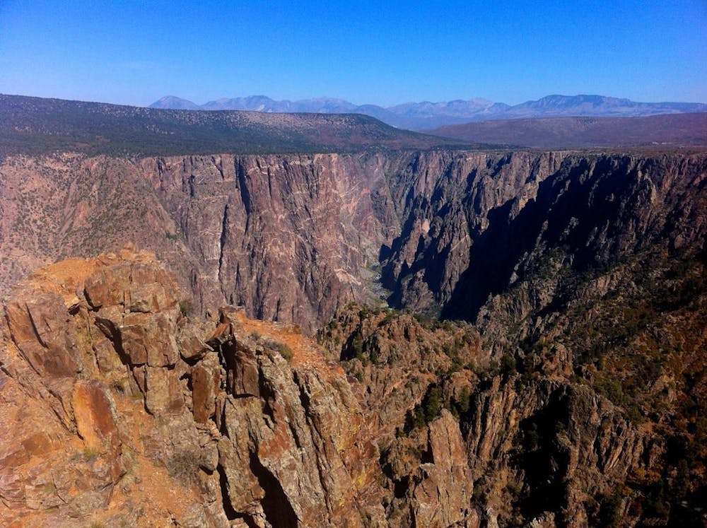
The "easiest" route down to the bottom of the canyon is still a formidable adventure.
Extreme Hiking
5.7 km away

Head off the beaten path on the Deadhorse Trail.
Moderate Hiking
5 routes · Hiking

63 routes · Alpine Climbing · Hiking