2.2 km away
Hogsback Loop
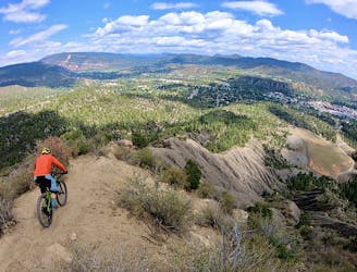
Face extreme exposure on one of Durango's classic rides.
Extreme Mountain Biking
- Distance
- 7.2 km
- Ascent
- 374 m
- Descent
- 374 m
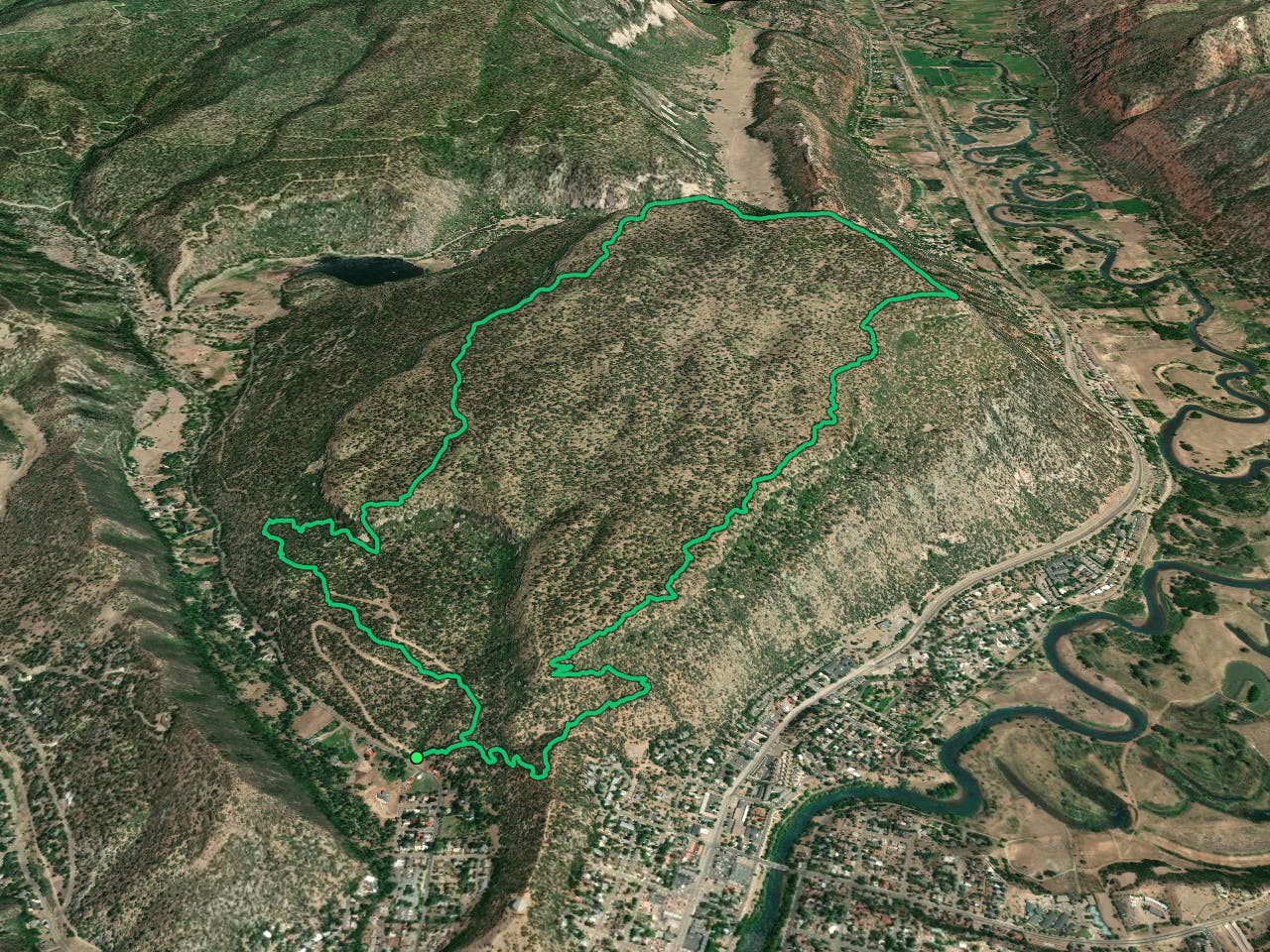
Stunning views and a ripping descent, right in Durango.
Mountain Biking Severe

Animas Mountain is one of the most popular trails in Durango, and for good reason. This short (but steep) loop offers up some of the most stupendous views in the region! With vistas over Durango, a front-and-center perspective of the red rock cliffs nearby, and long-range views of the San Juans off in the distance, you'll find yourself constantly pulling out your phone to snap photos of the incredible scenery!
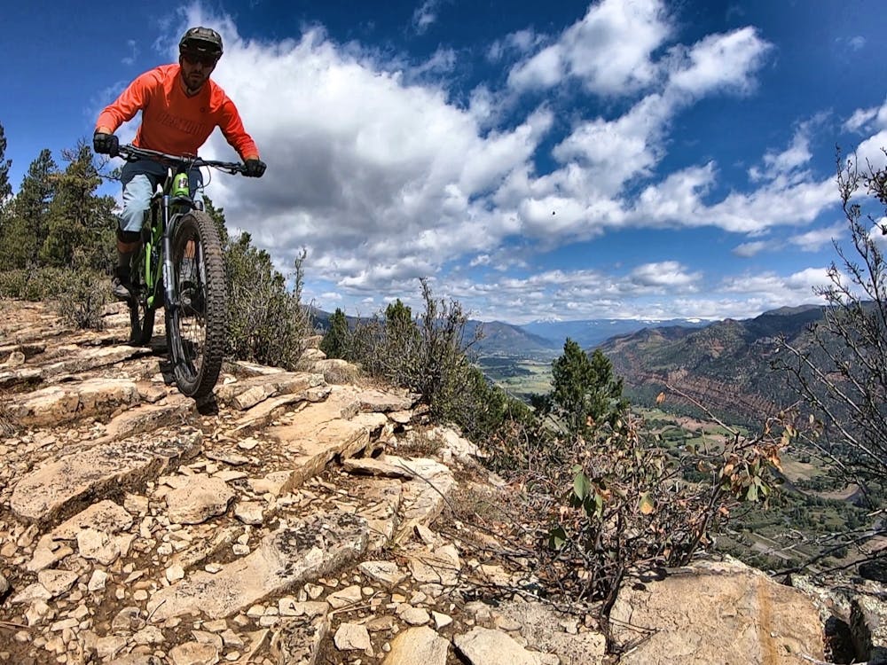
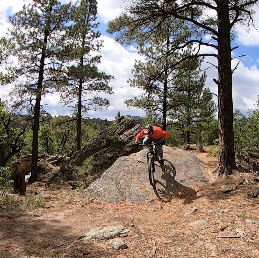
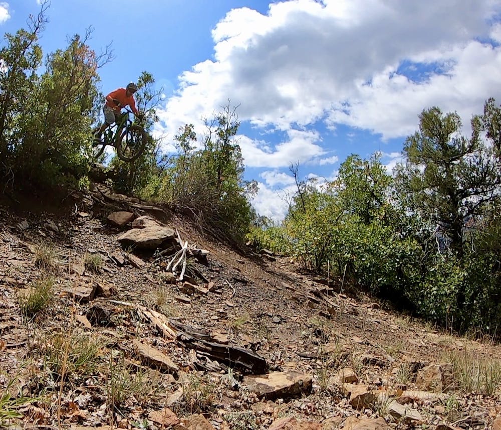
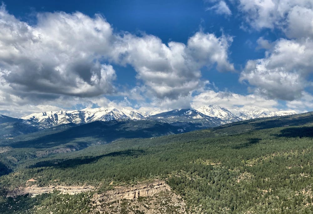
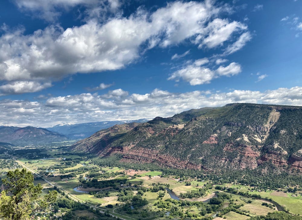
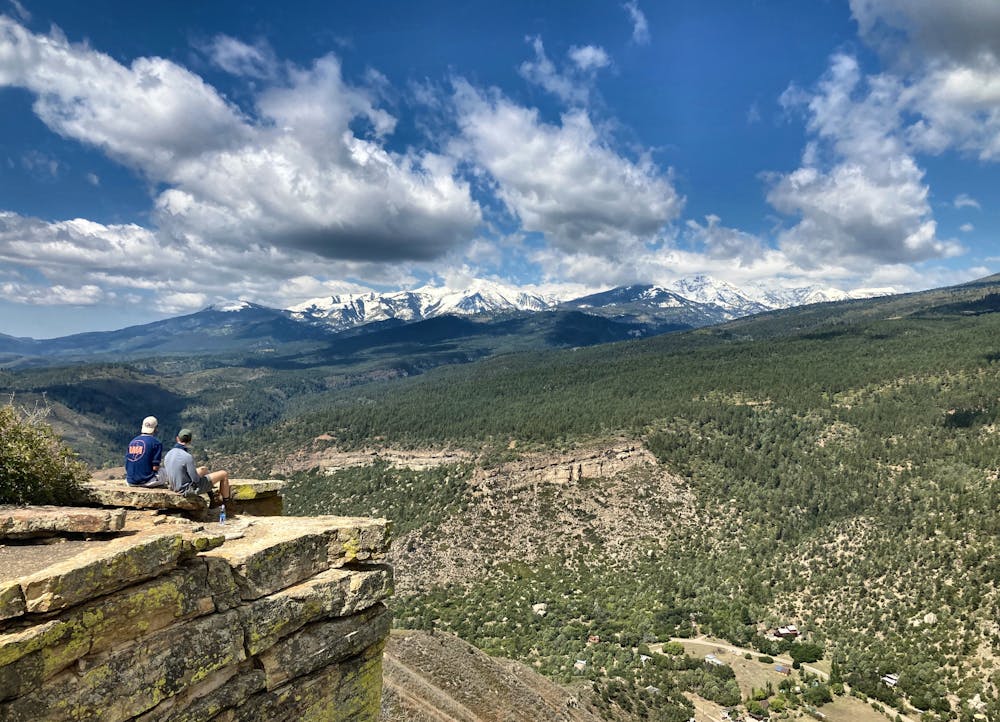
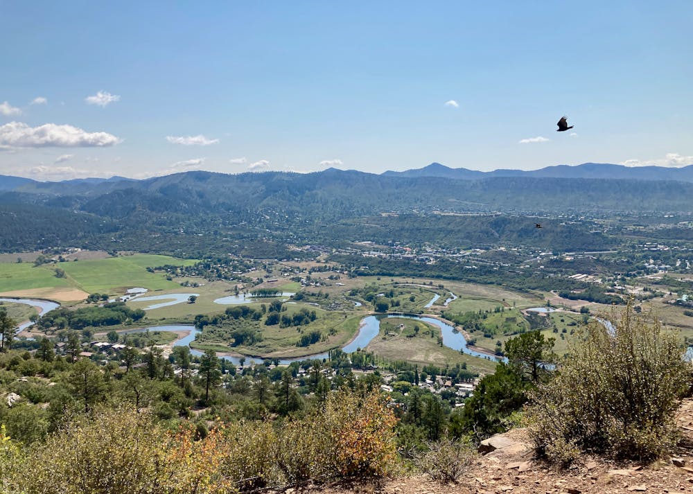
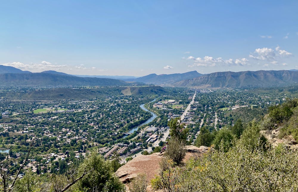
The ride begins right in town Durango, gaining elevation quickly up the flanks of Animas. The climb is steep and consistent, gaining elevation via a narrow, rocky, switchbacked trail. The climbing portion of this ride is not bike optimized in any way—some riders may be forced to hike-a-bike portions of the ascent. While mountain biking is legal here, this trail system is much more popular with hikers and trail runners, as you'll no doubt observe as you ride.
After a few miles of climbing, the trail traverses over to the rim of the mountain, and you start enjoying incredible views as you climb! Be sure to look behind you and take in the views over downtown Durango.
When you reach the top of the mountain, you'll realize that the opposite side of Animas ends in a sheer cliff. The exposed rock faces provide the perfect spot to take in the incredible views of the San Juans! Stop and enjoy a snack—there are few places with scenery this incredible.
Once you've had your fill of the views, it's finally time to get a downhill reward for that arduous climb! The route mapped here now diverges from the classic hiking route, dropping into the high-speed Loam Zone descent. Suddenly, the dry soil switches to dark black dirt with turns that are much more bike-optimized.
Lower down the mountain, the route mapped here descends the Merv trail, which gets a double black diamond rating from some sources. Merv has a few substantial drops, jumps, and highly technical, exposed rock moves. If you opt to continue along the Swerve trail and descend a different way back to the main trailhead, that will drop the overall technicality of this route.
After Merv, the route mapped here takes the most singletrack-heavy route back to the trailhead, complete with entertaining rock features on the Bouldering trail and some great singletrack on Junction.
While you'll undoubtedly have to contend with substantial trail traffic on this ride, the views and the descent back down the mountain make it more than worth the effort!
Severe
Widely variable, narrow trail tread with steeper grades and unavoidable obstacles of 15in/38cm tall or less. Obstacles may include unavoidable bridges 24in/61cm wide or less, large rocks, gravel, difficult root sections, and more. Ideal for advanced-level riders.
2.2 km away

Face extreme exposure on one of Durango's classic rides.
Extreme Mountain Biking
4.3 km away
A beautiful cross country ride with a flowy finish.
Moderate Mountain Biking
4.3 km away
Tackle the rock chute on Pautskey Point, followed by a rip down Send It.
Severe Mountain Biking
4.3 km away
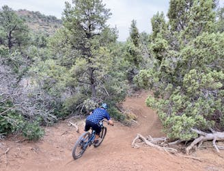
A superb XC ride from downtown Durango ending with a fast descent.
Difficult Mountain Biking
4.3 km away
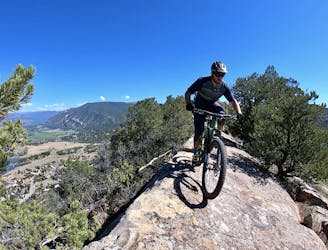
Hands-down the most technical trail in Durango.
Extreme Mountain Biking
5.1 km away
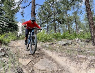
A quick loop on one of the better trail segments in the Log Chutes.
Difficult Mountain Biking
6.6 km away
A quick shuttle on one of the better trail segments in the Log Chutes.
Difficult Mountain Biking
8.2 km away
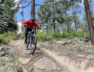
The full Log Chutes Downhill run, in all of its eroded infamy.
Severe Mountain Biking
9 km away

The perfect beginner singletrack ride!
Easy Mountain Biking
8 routes · Mountain Biking