7.8 km away
Captain Jack's Loop

One of the original classic mountain bike rides, Captain Jack's still delivers a rocking-good time!
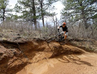
Difficult Mountain Biking
- Distance
- 22 km
- Ascent
- 757 m
- Descent
- 757 m
One of Colorado's newest state parks boasts fantastic singletrack!
Mountain Biking Difficult

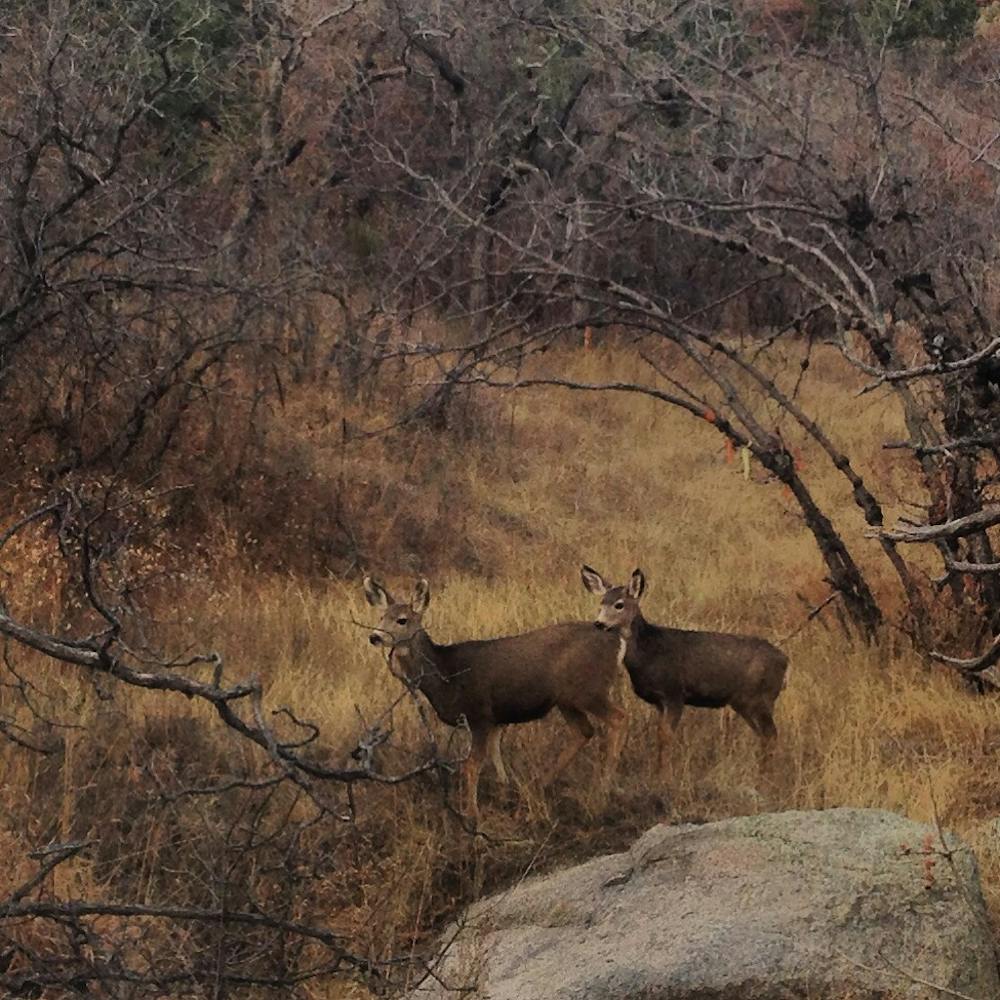
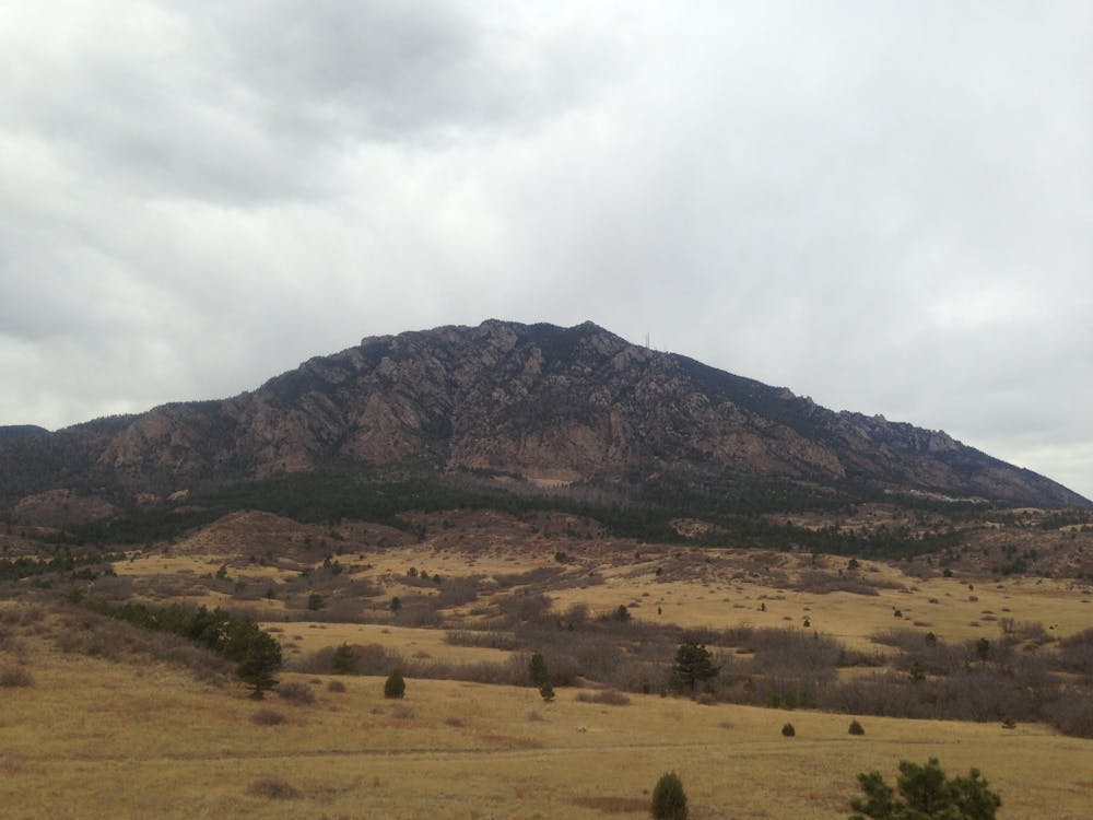
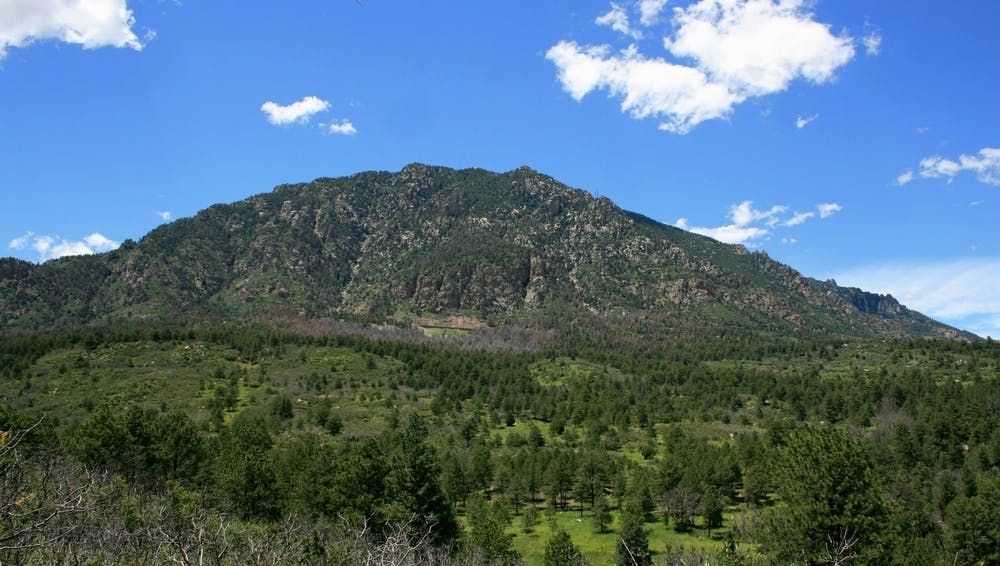
Cheyenne Mountain is one of Colorado's newest state parks, and it's already home to an expansive mountain bike trail system that ranks among the best in Colorado Springs. The network here boasts over 28 miles of fantastic singletrack that can be combined in various ways to create hiking and biking loops of both short and long distances.
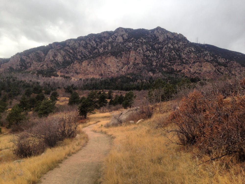
This 12-mile loop is one of the best ways to pedal a consistent loop through the trail system with minimal backtracking. However, you can easily increase the mileage by adding in more of the cross trails, as well as the singletrack that connects to the campground.
The mountain biking at Cheyenne Mountain is fairly up-and-down with a few punchy climbs and fast descents, but there aren't too many long, sustained climbs. Even so, this route gains and loses a respectable 1,581 vertical feet along its length.
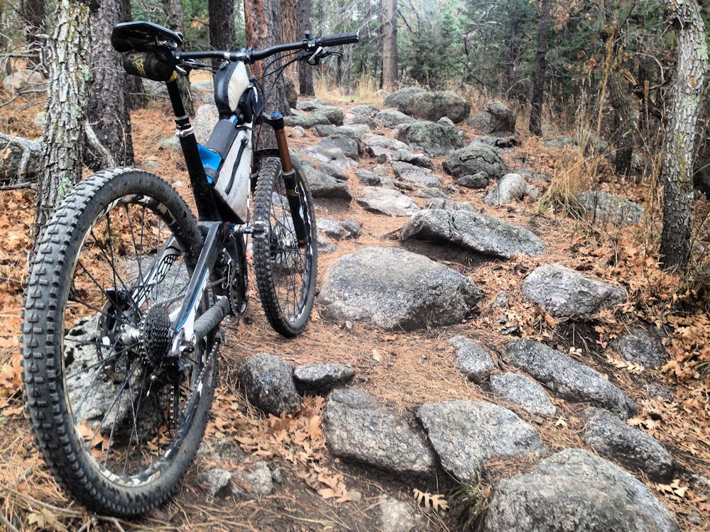
While you'll find some of the trails to be fairly well strewn with rocks, you won't find any major rock gardens or technical test pieces. Instead, most of the rocks are classic Colorado Springs fair, with a few boulders and slabby bits.
Overall, the trails rank as upper intermediate in difficulty, with a few genuine beginner trails, and a few others that are a bit more difficult. The route as mapped follows the Blackmer trail in the northwestern corner of the trail system, but if you were to opt for Cougar's Shadow instead, that would increase the technical difficulty a couple of notches.
Entry to the park costs $7 per day. There's also a fantastic campground here with modern facilities boasting 51 full-service campsites and 10 walk-in tent sites. Riding straight from camp is a rare treat, so consider booking a camping reservation at Cheyenne Mountain for a true mountain bike getaway.
Sources: CPW Singletracks.com
Difficult
Mostly stable trail tread with some variability featuring larger and more unavoidable obstacles that may include, but not be limited to: bigger stones, roots, steps, and narrow curves. Compared to lower intermediate, technical difficulty is more advanced and grades of slopes are steeper. Ideal for upper intermediate riders.

The trail contains some obstacles such as outcroppings and rock which could cause injury.
Away from help but easily accessed.
7.8 km away
One of the original classic mountain bike rides, Captain Jack's still delivers a rocking-good time!
Difficult Mountain Biking
8.8 km away
Fast, flowy descents filled with bermy wall rides and techy rock gardens.
Difficult Mountain Biking

24 routes · Mountain Biking
7 routes · Mountain Biking