1 m away
Joe's Ridge
One of 18 Road's ripping ridgeline trails!
Difficult Mountain Biking
- Distance
- 8.4 km
- Ascent
- 188 m
- Descent
- 190 m
An aerobically-challenging but technically-moderate loop that will remove you from most of 18 Road's crowds.
Mountain Biking Moderate

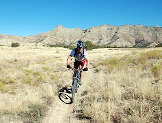
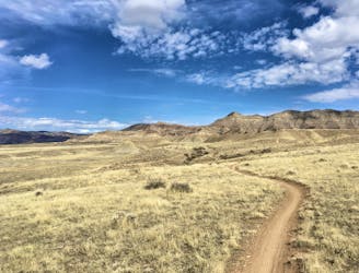
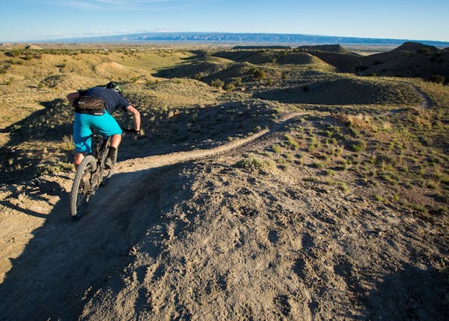
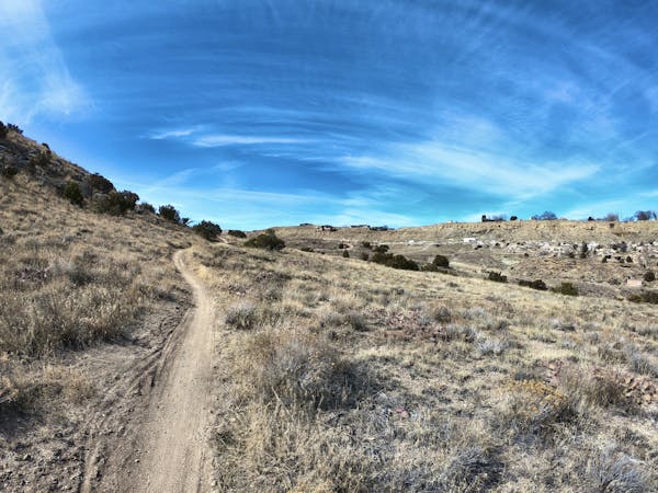
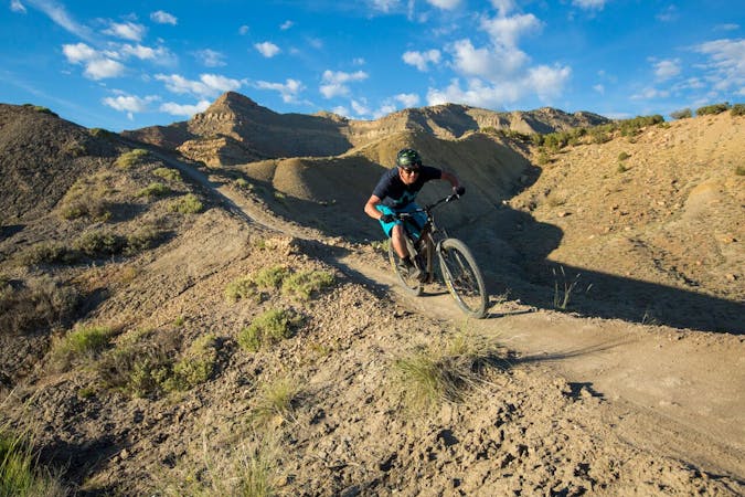
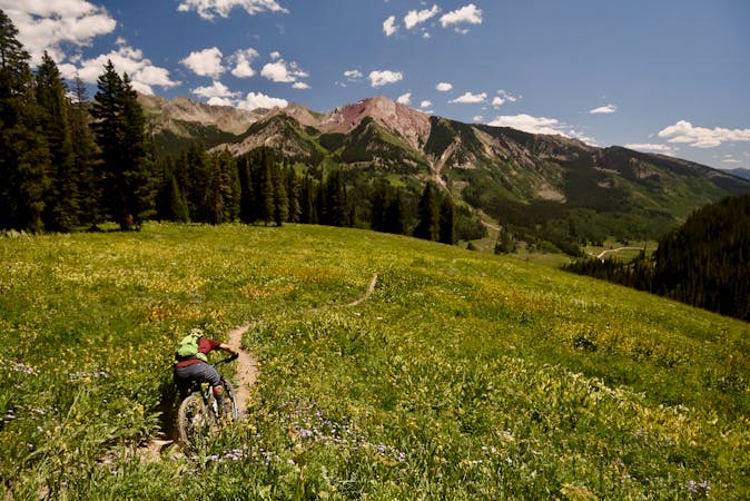
The Chutes and Ladders trail is another great loop option in the popular 18 Road Trail System. Thankfully, while Chutes and Ladders does get a respectable amount of traffic, Zippety, PBR, and Joe’s Ridge will draw most of the traffic away, allowing you to (somewhat) escape the springtime crowds.
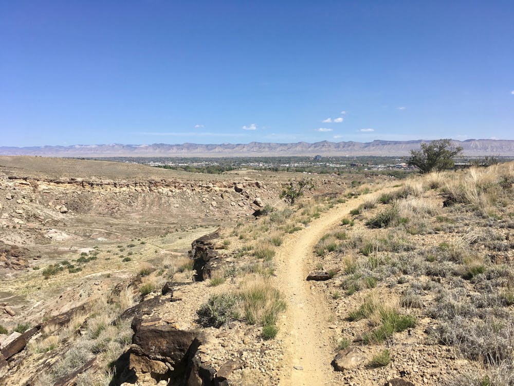
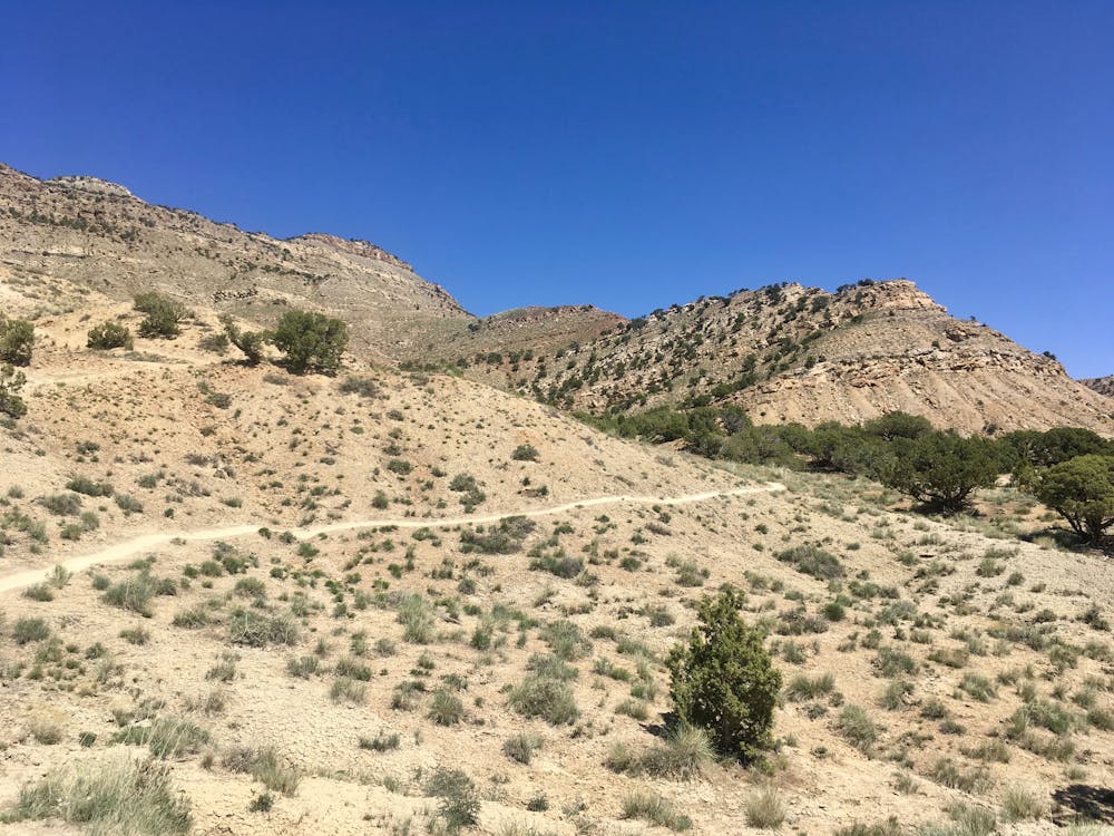
After the climb up Prime Cut, Chutes and Ladders continues climbing, quickly going anaerobic. The ascent, while non-technical, is incredibly steep, and is almost guaranteed to put you in your lowest gear or force you to hike. The challenging ascent will help turn away even more of the crowds—those who got a wild hair to try something new, and then decide that the effort isn’t worth it.
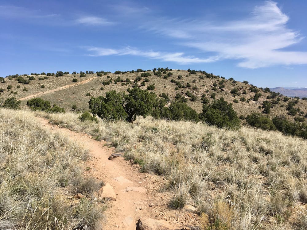
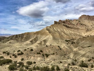
Once over the top of the hill, the trail drops into a series of steep descents and climbs (the “Chutes and Ladders,” if you will) as it winds through an intriguing gully at the base of the Book Cliffs. After repeated runs on the more exposed trails, following Chutes and Ladders as it winds through a dry wash provides a welcome change of scenery.
Eventually, the route breaks back out of the hills and into the exposed terrain you know and love as the North Fruita Desert. Here, you’ll encounter a few route options, with the ability to extend your ride by heading further to the east on Vegetarian to Lower Chutes and Ladders. For the fastest and most direct route down, follow the route mapped here and bomb down the flowy, smooth singletrack on Down Uppity back to where you began.
Moderate
Mostly stable trail tread with some variability, with unavoidable obstacles 8in/20cm tall or less. Other obstacles such as rock gullies and steep sections may exist. Ideal for lower intermediate riders.

The path is on completely flat land and potential injury is limited to falling over.

Away from help but easily accessed.
1 m away
One of 18 Road's ripping ridgeline trails!
Difficult Mountain Biking
1 m away
Quite possibly the chillest and most enjoyable beginner trail in the state.
Easy Mountain Biking
1 m away
A masochistic loop ride that was removed from IMBA's list of Epics.
Extreme Mountain Biking
2 m away
This short beginner loop in the North Fruita Desert is not only very approachable, it's a heck of a lot of fun, too!
Easy Mountain Biking
2 m away
Zippety Do Da provides the fast downhill bombs, swoop and flow, and visually-stunning ridgeline singletrack that put Fruita on the map.
Difficult Mountain Biking
52 m away
A little-ridden loop far away from the normal 18 Road hordes.
Difficult Mountain Biking
5.4 km away

A beautiful trail running high above the rest of the 18 Road Trail System.
Difficult Mountain Biking
12 routes · Mountain Biking

37 routes · Mountain Biking
4 routes · Mountain Biking
8 routes · Mountain Biking
10 routes · Mountain Biking

24 routes · Mountain Biking