2 m away
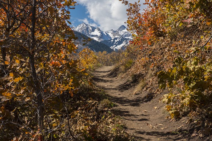
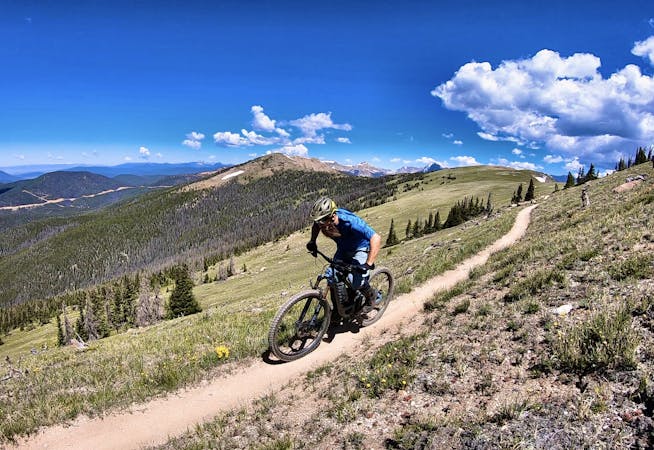
Aspen Snowmass IMBA Epic Loop
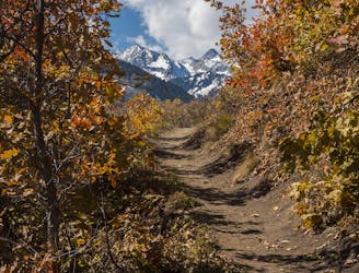
An incredible Mega Loop that's 95% on singletrack!
Difficult Mountain Biking
- Distance
- 90 km
- Ascent
- 2.9 km
- Descent
- 2.9 km
A big backcountry loop located right in Aspen's backyard.
Mountain Biking Difficult

While most of the best mountain bike trails in the Roaring Fork Valley are located closer to Snowmass, the Smuggler to Sunnyside loop is right in Aspen’s backyard. This loop begins by climbing up Smuggler Mountain and then connecting to the Hunter trail, VanHorn, Hobbit, Secret, and ending by descending Sunnyside. CycleLifeHQ.com calls it "one of the must-do routes within the Aspen area.”
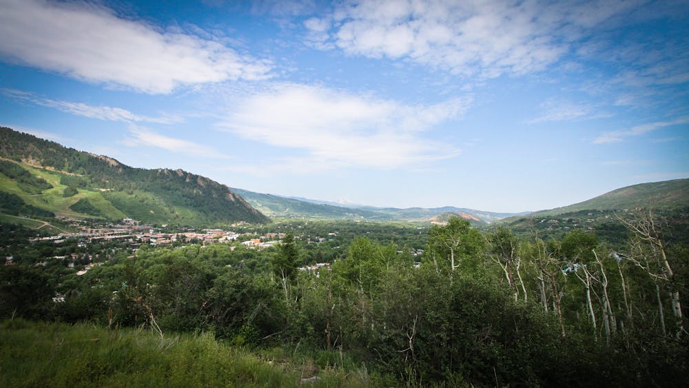
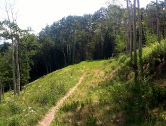
Most of the climbing on this loop takes place on dirt roads—most notably the initial climb up Smuggler Mountain. Once on top of the ridge, the ride switches to singletrack. Here, a mostly mellow backcountry trail traverses up, down, and along the ridge crowned by 10,414-foot Red Mountain. Most of this traverse trail is smooth, flowy, classic singletrack bobbing and weaving through beautiful aspen groves and wide-open meadows.
The final descent down Sunnyside ratchets the difficulty up quite a bit, with more challenging rock features and a steeper trail pitch. Thanks to its south-facing aspect, gone are the massive aspen groves, with dry grass and low scrub oak replacing them. Consequently, the dirt on this section of trail is much drier, rockier, and dustier than other trail segments along this route. The mountainside here is also quite steep, with some respectable exposure on the downhill side of this narrow trail.
Sources: https://rootsrated.com/stories/aspens-biggest-best-mountain-bike-trails-in-aspen https://www.cyclelifehq.com/en/listings/305190-smuggler-to-sunnyside-loop-ride https://mountainbikefarm.wordpress.com/2012/09/16/smuggler-to-sunny-side-aspen-co/ https://www.youtube.com/watch?v=FYyHnmqU42E
Difficult
Mostly stable trail tread with some variability featuring larger and more unavoidable obstacles that may include, but not be limited to: bigger stones, roots, steps, and narrow curves. Compared to lower intermediate, technical difficulty is more advanced and grades of slopes are steeper. Ideal for upper intermediate riders.

Some trail sections have exposed ledges or steep ascents/descents where falling could cause serious injury.

Away from help but easily accessed.
2 m away
An incredible Mega Loop that's 95% on singletrack!
Difficult Mountain Biking
4 km away
A straightforward figure-8 ride on Buttermilk Mountain.
Difficult Mountain Biking
5 routes · Mountain Biking
4 routes · Mountain Biking