2 m away
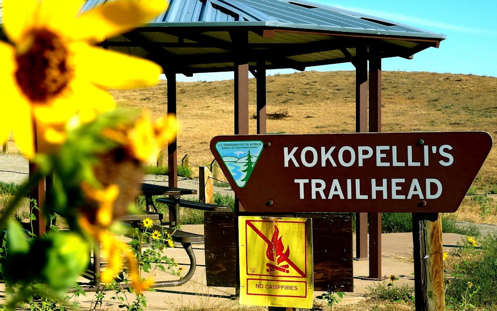
Tour de Kokopelli Loops

A massive loop ride with essentially no doubling back through the Kokopelli Loops network.
Severe Mountain Biking
- Distance
- 53 km
- Ascent
- 1.5 km
- Descent
- 1.5 km
An epic 142-mile point-to-point route between Fruita, Colorado and Moab, Utah.
Also in Utah, United States of America
Mountain Biking Difficult

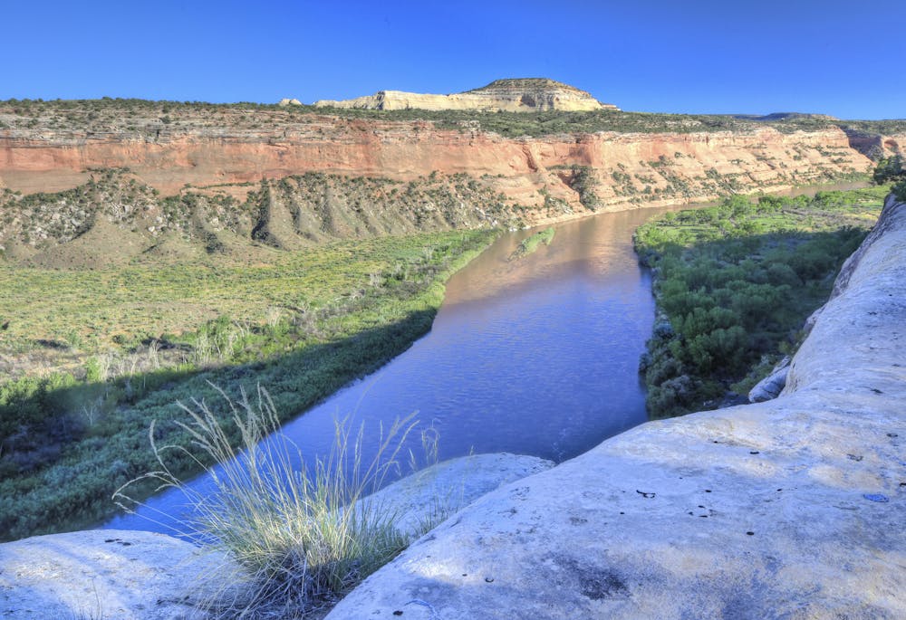
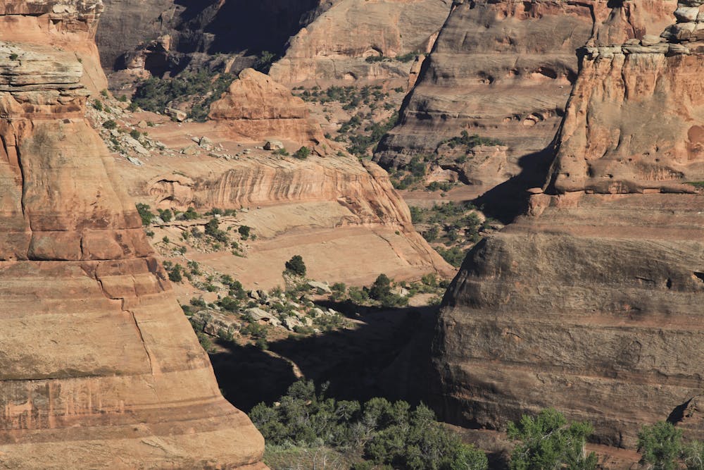
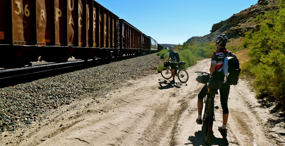
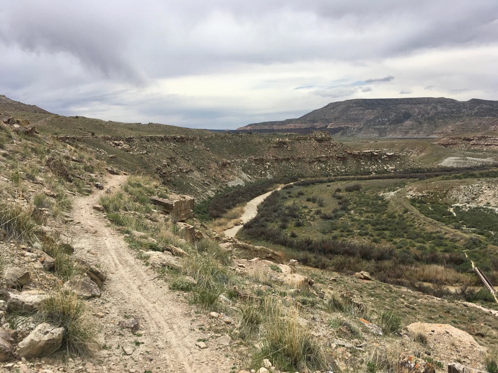
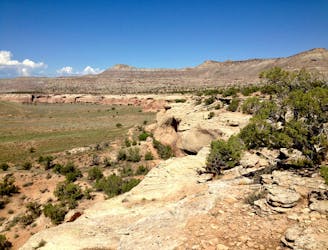
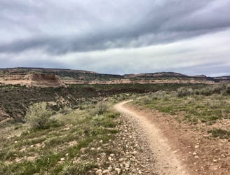
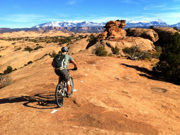
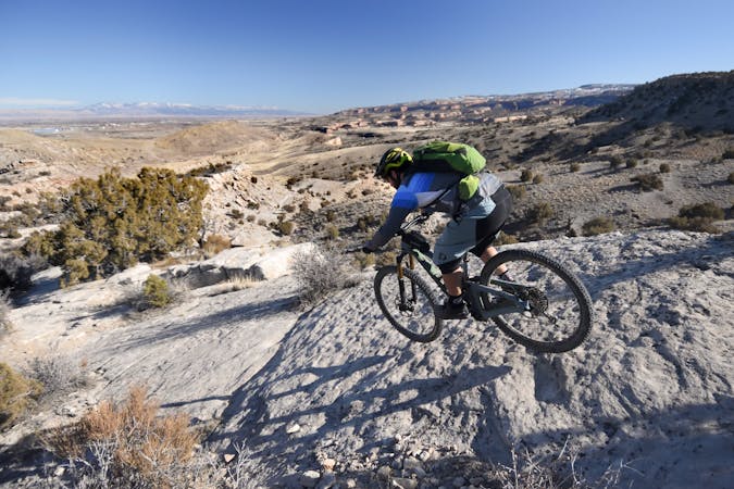
The Kokopelli Trail is quickly gaining renown as one of the premier long distance point-to-point mountain bike routes in the USA, if not the world. The 142-mile trail stretching between Fruita, Colorado (more technically, Loma, but most people simply say “Fruita”) and Moab, Utah is quickly becoming known as a worthy but approachable bikepacking route. Not nearly as intimidating as the Colorado Trail or Arizona Trail, 143 miles is a distance that many neophyte bikepackers view as achievable.
Indeed, the amount of time that you take to complete this route is entirely up to you, and your level of badassity. Some guiding companies like Hermosa Tours and Rim Tours break the trail down into 4 or 5-day trips. And yet, the speed record is a blistering 13 hours and 32 minutes, set by Rebecca Rusch in 2013. How you choose to break up and dissect this trail is up to you.
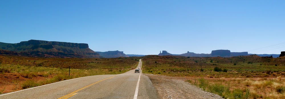
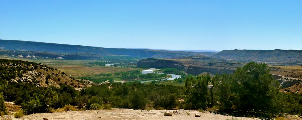
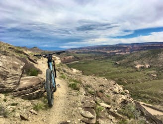
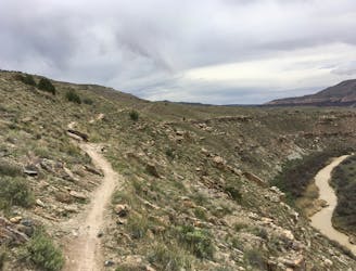
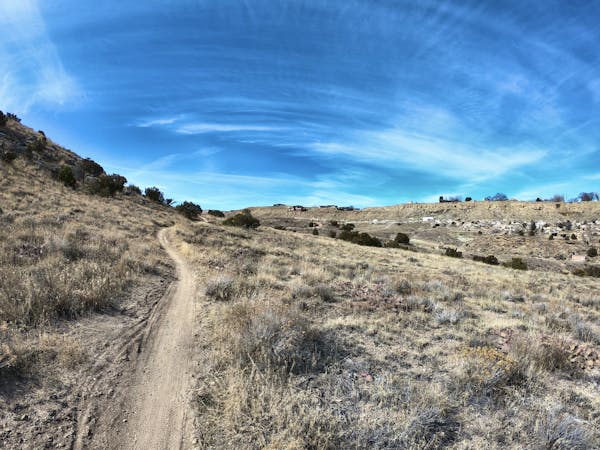
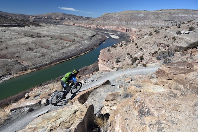
Most riders choose to pedal from Loma to Moab, finishing with an epic descent out of the La Sal mountains into Moab. On the Loma end, the route begins by winding its way through the technical and scenic Kokopelli Trail System, before venturing out into the wilds of the Utah Desert as it works its way toward Moab.
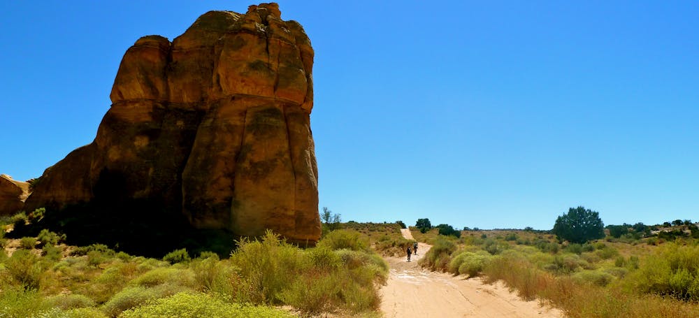
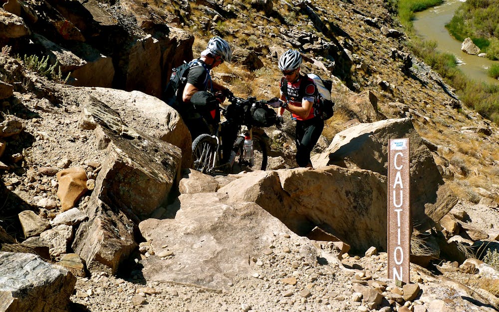
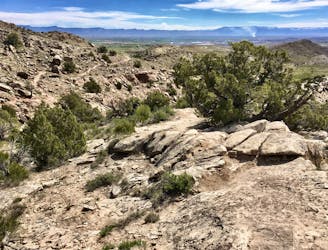
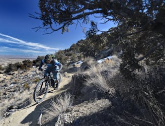
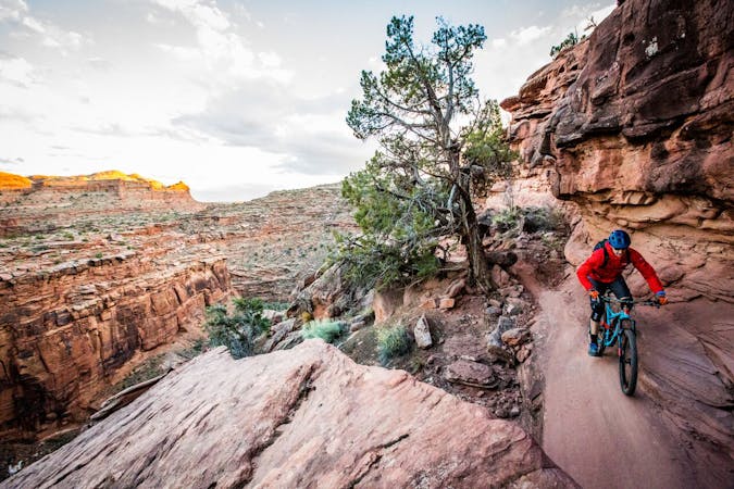
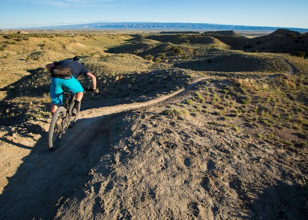
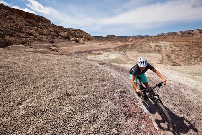
Much of the Kokopelli Trail consists of singletrack, ranging from flowy to quite technical. And much of the route actually consists of doubletrack, gravel roads, and a little pavement. Chris Callahan characterizes the Kokopelli Trail as "wild jeep roads and singletrack, winding along valleys and high desert ridges” in an article on Singletracks.com.
In some places, options exist for either faster/easier pedaling on roads, or more difficult/slower pedaling on nearby trails. While the primary Kokopelli Trail route is relatively well-defined, the creative mountain biker can always track down more singletrack fun.
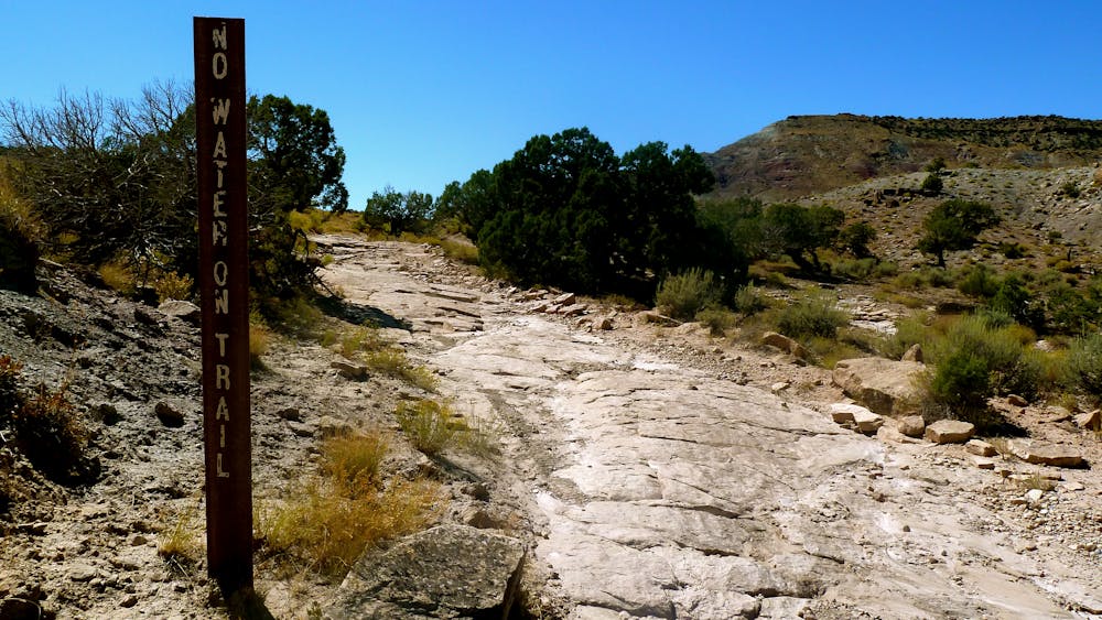
If you do choose to tackle the Kokopelli, be aware that the weather can be extreme. "Much of the ride will be exposed to hot sun at around 5000 feet elevation, but the route goes over the La Sal Mountains at 8500 feet, where severe storms can erupt suddenly,” according to UtahMountainBiking.com. "Plan for extreme temperatures and weather. Riding season is mid-June through September, depending on snowmelt in the higher elevations,” the author continues.
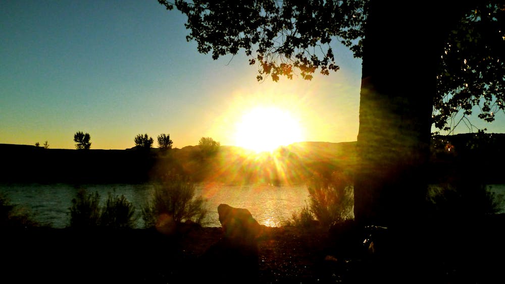
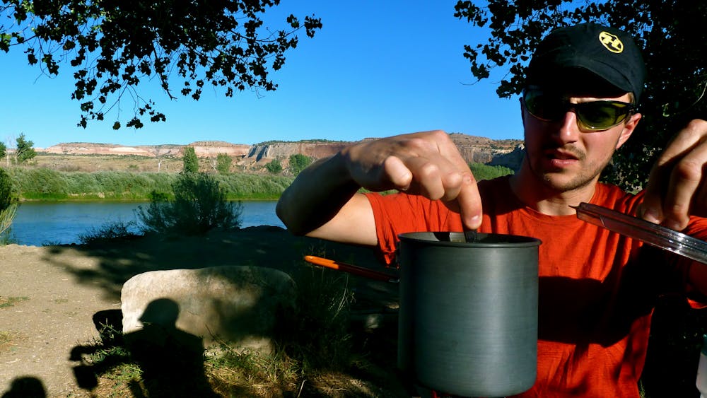
While there are indeed towns on either end of this epic, once out on the Kokopelli there is essentially no opportunity for resupply, aside from a couple of key access points to the Colorado River to pump and treat water. Instead, riders must either book a tour company for support, such as Hermosa Tours’ self-supported trip, or prepare to be entirely self-sufficient.
Sources: http://www.utahmountainbiking.com/trails/kokopelli.htm http://hermosatours.net/portfolio/kokopelli-mountain-bike-tours.html https://rimtours.com/tours/kokopelli-trail/ https://www.velonews.com/2013/04/news/rebecca-rusch-smashes-kokpelli-trail-record284147 https://www.singletracks.com/blog/mtb-trails/the-ride-of-a-lifetime-a-60-year-old-mountain-bikes-kokopellis-trail/
Difficult
Mostly stable trail tread with some variability featuring larger and more unavoidable obstacles that may include, but not be limited to: bigger stones, roots, steps, and narrow curves. Compared to lower intermediate, technical difficulty is more advanced and grades of slopes are steeper. Ideal for upper intermediate riders.

The path is on completely flat land and potential injury is limited to falling over.

In the high mountains or remote conditions, all individuals must be completely autonomous in every situation.
2 m away
A massive loop ride with essentially no doubling back through the Kokopelli Loops network.
Severe Mountain Biking
14 m away
Enjoy a well-built cross country trail on your way to access the technical centerpiece of the Kokopelli Loops: Moore Fun.
Severe Mountain Biking
14 m away
The original Moore Fun loop route.
Severe Mountain Biking
16 m away
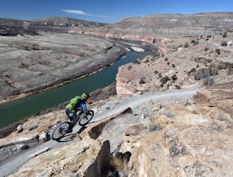
Horsethief Bench is the most famous trail in the Kokopelli Trail System, primarily because of its uber-gnarly drop down to the main trail. The views are spectacular as well!
Extreme Mountain Biking
401 m away
An incredibly-scenic intermediate-friendly ride through the Kokopelli Loops.
Difficult Mountain Biking
542 m away
Rustler's Loop is probably the best beginner mountain bike trail in the state of Colorado.
Easy Mountain Biking
3.5 km away
A challenging add-on to the more popular rides in the Kokopelli Loops.
Severe Mountain Biking
5.3 km away
A lesser-ridden area in the Kokopelli Loops Trail System, with one of the best-quality singletrack trails!
Difficult Mountain Biking
5 routes · Mountain Biking
20 routes · Mountain Biking
12 routes · Mountain Biking

37 routes · Mountain Biking
11 routes · Mountain Biking
4 routes · Mountain Biking
7 routes · Mountain Biking
8 routes · Mountain Biking