106 m away
Wonderbump Uphill
Powderhorn’s advanced uphill route that’s open for use during operating hours.
Difficult Resort Ski Touring
- Distance
- 2 km
- Ascent
- 488 m
- Descent
- 0 m
An intermediate uphill route that’s open for use during operating hours.
Resort Ski Touring Moderate

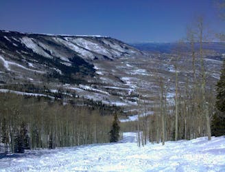
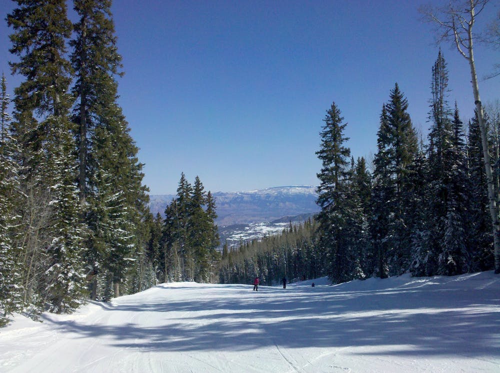
Powderhorn is very accommodating to uphill use, with designated routes during operating hours and nearly free rein of the mountain otherwise. Mapped here is a designated route from the base area to the top of West End. It follows Lower Dude to Middle Dude to Tenderfoot, and connects with several advanced runs for the downhill. One of these is Sven’s Bend, home of glorious tree skiing through an aspen grove. If you want to avoid the black diamonds, simply descend the way you came on Tenderfoot. This blue groomer is mainly a long and scenic cruise, but with some fast rollovers near the middle. No matter what runs you take on the descent, however, be sure to cut over to Middle Dude so you don’t get stuck at the bottom of West End lift.
Uphilling at Powder Mountain is very much a local scene, with few people other than Grand Junction residents showing up with touring gear. Anyone is welcome of course, with an uphill day ticket or season pass. See Powderhorn’s uphill policy for more information and how to get a pass.
Moderate

Close to help in case of emergency.
106 m away
Powderhorn’s advanced uphill route that’s open for use during operating hours.
Difficult Resort Ski Touring
682 m away

Designated route for skinning laps on the West End at Powderhorn.
Moderate Resort Ski Touring
40 routes · Resort Ski Touring