Alpine Tunnel
Salida
Run to the remnants of North America's highest railroad tunnel.
Trail Running Difficult
- Distance
- 10 km
- Ascent
- 275 m
- Descent
- 275 m
- Duration
- 1-2 hrs
- Low Point
- 3.4 km
- High Point
- 3.6 km
- Gradient
- 8˚

The Alpine Tunnel "is a 1,772 ft (540 m) narrow gauge railroad tunnel located east of Pitkin, Colorado on the former Denver, South Park and Pacific Railroad route from Denver to Gunnison," according to Wikipedia. "At an elevation of 11,523 feet (3,512 m), it was the first tunnel constructed through the Continental Divide in Colorado, and according to the U.S. Forest Service' remains the highest railroad tunnel and the longest narrow gauge tunnel in North America.'"
- •
- •
- •
Description
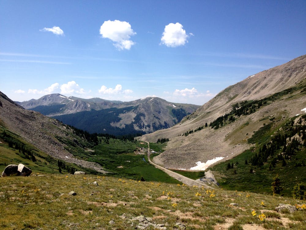
Unfortunately, the tunnel is now sealed shut from rock slide damage. However, the remnants of the railroad grade now serve as a beautiful trail run with an engaging historical element at the end!
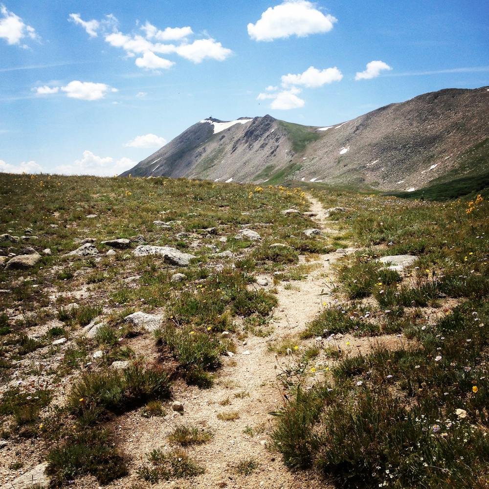
The route mapped here runs from the ghost town of Hancock to the collapsed eastern end of the tunnel. Then, the run gets more difficult by ascending up the mountainside above the tunnel to gain the Continental Divide. On top of the divide, as you look off to the west, you can spy the western end of the Alpine Tunnel far below you.
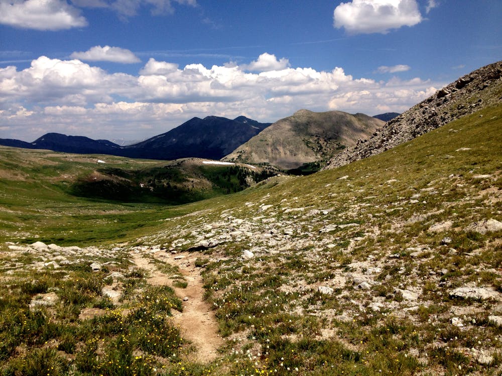
While this route is worth tackling for the history alone, the views from the top of the Continental Divide are second to none. The Sawatch range spreads out both north and south from your location. To the west, you can spy views of the Elks and possibly even the San Juans on a clear day from the perfect vantage point.
If you haven't had enough yet, continue along the Continental Divide Trail to extend your run. A few miles further on, you'll reach an alpine lake—another logical turn around point.
Difficulty
Difficult
Medium Exposure

The trail contains some obstacles such as outcroppings and rock which could cause injury.
Remoteness
Away from help but easily accessed.