Monarch Crest: Monarch Pass to Marshall Pass
Salida
One of the most scenic traverse trails in the state!
Trail Running Difficult
- Distance
- 17 km
- Ascent
- 354 m
- Descent
- 500 m
- Duration
- 2-3 hrs
- Low Point
- 3.3 km
- High Point
- 3.7 km
- Gradient
- 6˚

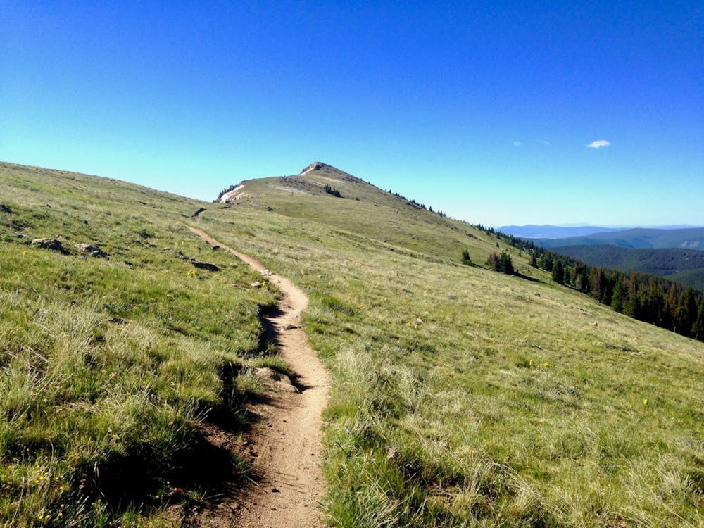
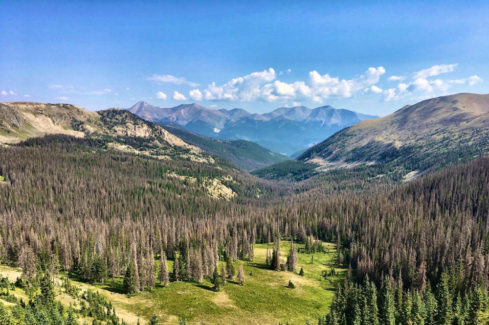
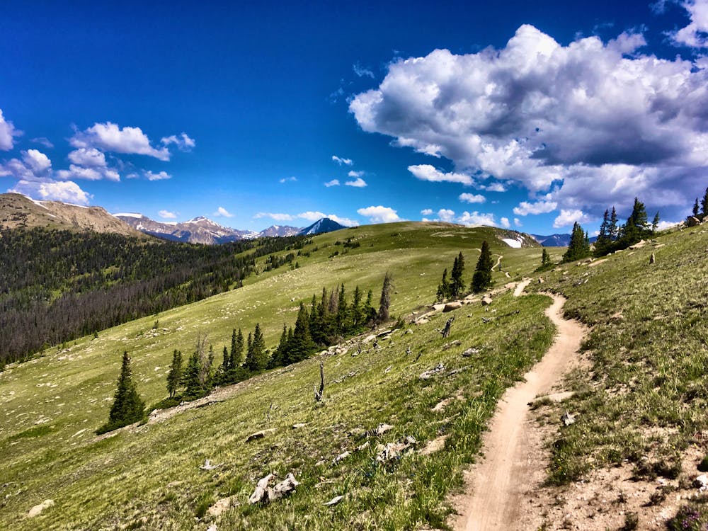
The section of the Continental Divide Trail running between the paved Monarch Pass and the gravel Marshall Pass is commonly referred to as the “Monarch Crest.” This singletrack trail traverses the crest of the Continental Divide, running at or near treeline almost the entire way. The expansive views of gorgeous mountains in all directions make this trail one of the most scenic, idyllic trail runs in the state!


- •
- •
- •
Description
How you choose to tackle this stretch of the CDT is entirely up to you. You can run from either end as far as you’d like, then turn around for an out-and-back route. You could easily set up a shuttle with some friends and run this section point-to-point. Or, if you’re fastpacking through, you can easily add this section of trail into a section run, a thru-hike, or a loop route with other trails in the region. The options are really endless, but the line in the map shown here depicts a point-to-point trail run from Monarch Pass to Marshall Pass.
Running this route may be much more approachable than climbing any of the major peaks in the region, but at 10.6 miles long and 1,165 feet of climbing (1,627 feet if you go the other direction), a point-to-point run on the Monarch Crest will still require a solid effort to complete. Since you’re at treeline for most of the route, be sure to get started early so that you can complete the route and get back below treeline before the afternoon thunderstorms roll in. One benefit of running in the direction mapped here is that after passing the Agate Creek trail, the Monarch Crest soon descends into the trees, staying below tree cover until it reaches Marshall Pass.
Do note that the Monarch Crest is one of the most popular mountain bike trails in Colorado, and it’s also open to motorcycles. Expect to encounter other trail users on this run, but prepared to have an amazing time regardless!
Difficulty
Difficult

