Pinellas Trail
A beautiful greenway trail running from Tarpon Springs to St. Petersburg.
Trail Running Easy
- Distance
- 73 km
- Ascent
- 179 m
- Descent
- 179 m
- Duration
- 1 day +
- Low Point
- 0 m
- High Point
- 23 m
- Gradient
- 0˚

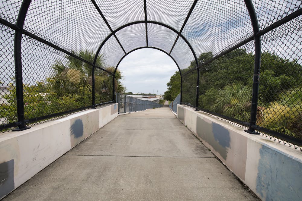
The Pinellas Trail is a lengthy paved greenway trail running through the St. Petersburg metro area. This trail is extremely popular with road cyclists (both recreationally and for commuting), but walkers/hikers, runners, skaters, and more all use this trail.
- •
- •
- •
- •
Description
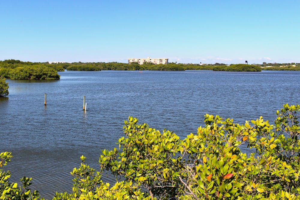
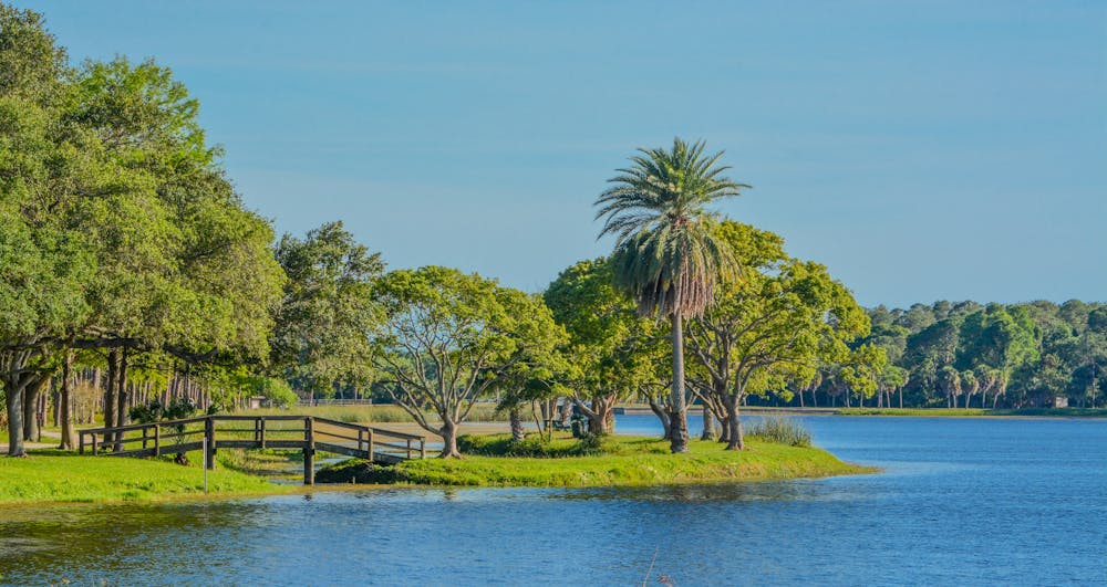
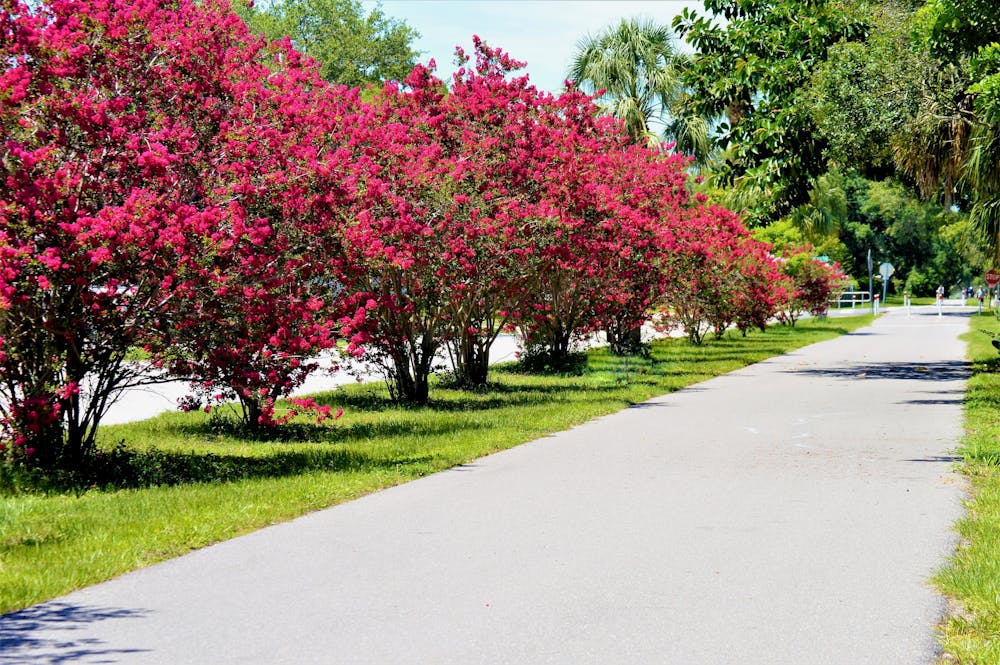
This 45-mile trail runs through the heart of the city in some places, while in others, you'll catch glimpses of Lake Tarpon and the Gulf of Mexico and feel immersed in the tropical beauty of Florida.
While the route shown here measures 45 miles one-way, you can tailor this distance as you see fit. If you ride an out-and-back, you can easily get over 90 miles of riding, and if you connect to other nearby greenway paths, you can go much, much further. Or, if you want to hike a short way, you can do that too, beginning from any number of parks and access points along the trail.
Difficulty
Easy
Low Exposure

The path is on completely flat land and potential injury is limited to falling over.
Remoteness
Close to help in case of emergency.