12 m away
Appalachian Trail: Neels Gap to Dicks Creek Gap
An AT segment through remote North Georgia Wilderness.
Difficult Hiking
- Distance
- 58 km
- Ascent
- 3.1 km
- Descent
- 3.2 km
The most-hiked section of the Appalachian Trail in Georgia, thanks to an epic summit view!
Hiking Difficult

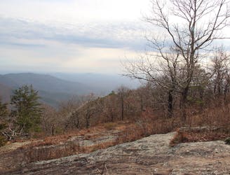
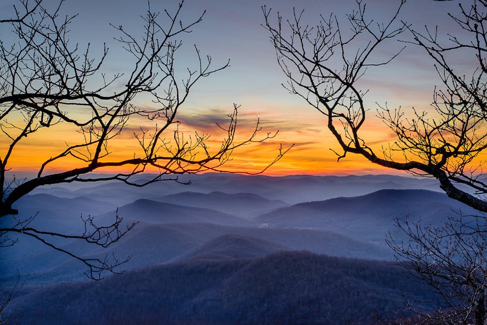
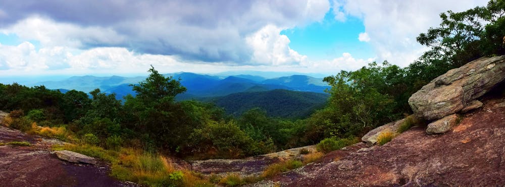
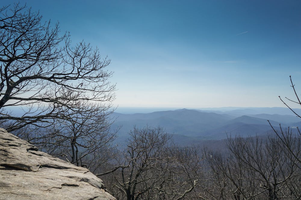
It’s rare to find a scenic vista in Georgia’s Appalachian Mountains due to the dense forest covering the entire range from valley floor to ridge top. The upper reaches of Blood Mountain are covered by slabs of exposed bedrock that prevent trees from growing, thus affording incredible views of North Georgia that stretch for miles and miles! The rarity of these jaw-dropping vistas in Georgia makes Blood Mountain that much more popular. Consequently, it’s the most-hiked stretch of the Appalachian Trail in Georgia.
For a day hike up Blood Mountain, park at the top of Neel’s Gap, cross the highway, and begin hiking up the steep mountainside. Gaining over 1,400 vertical feet in just over 2 miles, the climb to the summit is short but quite steep.
While there are a few trail junctions along the way, all junctions are well-signed, making navigation to the top of the mountain a cinch. The trail is well-defined the entire way, but can be quite washed out and rough in places. Expect to encounter boulders that you'll have to step up and rocky sections where you need to watch your footing, but no scrambling is required to reach the summit.
The upper half of the hike traverses and ascends exposed slabs of bedrock, affording views even as you work your way toward the summit. Getting to hike along exposed rock slabs is an unusual experience in Georgia, making this hike that much more special!
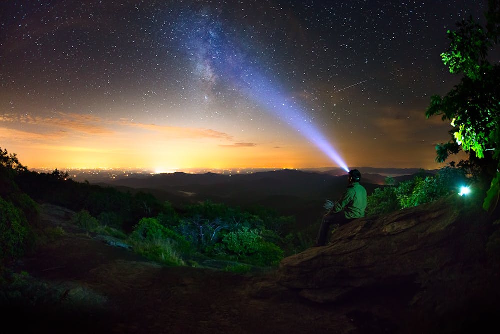
Once at the summit, locate the shelter and climb onto the nearby boulder for stupendous, nearly 360-degree views of the region!
Difficult
Hiking trails where obstacles such as rocks or roots are prevalent. Some obstacles can require care to step over or around. At times, the trail can be worn and eroded. The grade of the trail is generally quite steep, and can often lead to strenuous hiking.

The trail contains some obstacles such as outcroppings and rock which could cause injury.
Away from help but easily accessed.
12 m away
An AT segment through remote North Georgia Wilderness.
Difficult Hiking

58 routes · Hiking

10 routes · Hiking