Sope Creek
Sope Creek is a popular MTB trail in the Atlanta Metro Area.
Mountain Biking Moderate
- Distance
- 14 km
- Ascent
- 228 m
- Descent
- 228 m
- Duration
- 1-2 hrs
- Low Point
- 241 m
- High Point
- 310 m
- Gradient
- 3˚

If you are looking for a thrilling ride close to Atlanta, Sope Creek Trail is a great option for mountain biking. This trail offers around 9 miles of intermediate singletrack that will challenge your skills and fitness.
Description
The trail is directional, depending on the day, and forms a figure 8 with a bidirectional connector between the top and bottom loops. The top loop, around 2 miles, is flat and fast, with some roots and rocks to keep you on your toes. The bottom loop, around 7 miles, is more hilly and technical, with some flowy sections and some rocky drops and climbs.
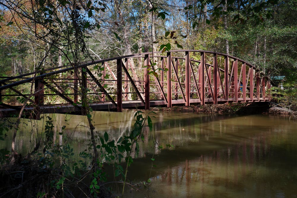
The trail also passes by the historic ruins of a paper mill that was destroyed in the Civil War, adding some interest and history to your ride. You can stop and explore the stone walls and arches of the mill, or just enjoy the views of the creek as it cascades over the rocks.
The trail is part of the Chattahoochee River National Recreation Area, a network of parks and trails along the river in metro Atlanta. You can access the trail from three parking areas: Paper Mill Road, Columns Drive, or Cochran Shoals. The park has a $5 parking fee or you can use an annual pass. The trail is shared with hikers and dogs, so be respectful and follow the 10 mph speed limit.
Sourcse: Sope Creek Trail. https://www.atlantatrails.com/hiking-trails/a-getaway-close-to-home-sope-creek/ Sope Creek Mountain Bike Trail in Sandy Springs, Georgia - Directions .... https://www.singletracks.com/bike-trails/sope-creek/ Sope Creek - MTB ATLANTA - SORBA Atlanta Chapter. https://mtbatlanta.com/sope-creek/ Conversation with Bing Chat
Difficulty
Moderate
Mostly stable trail tread with some variability, with unavoidable obstacles 8in/20cm tall or less. Other obstacles such as rock gullies and steep sections may exist. Ideal for lower intermediate riders.
Low Exposure

The path is on completely flat land and potential injury is limited to falling over.
Remoteness
Close to help in case of emergency.
Best time to visit
Features
- Flow
- Singletrack
- In the forest
- Roots
- Rock Gardens