6 routes · Hiking
A challenging hike down to the Hilina Slump.
Hiking Severe

For a more serious hike in Hawaii Volcanos National Park with stunning ocean views, try on the Hilina Pali Overlook loop for size.
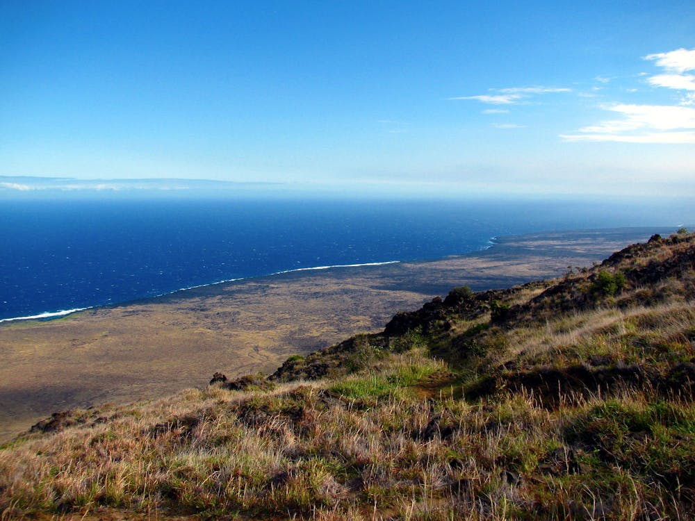
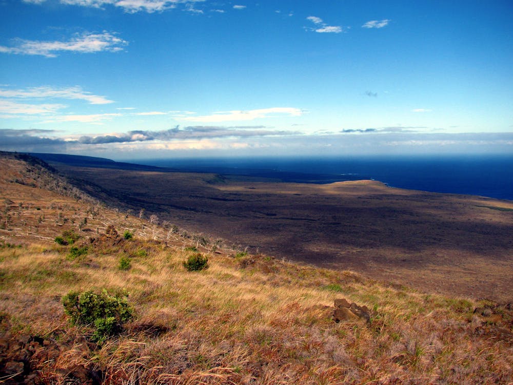
A big part of what makes this hike challenging is that it begins by descending a steep 2,000 vertical feet from the overlook to reach the loop. While the views from the trail are stunning the entire time, this almost 8-mile hike finishes with a steep push to get back up to the overlook. If you're uncertain that you can finish this quest, don't even begin!
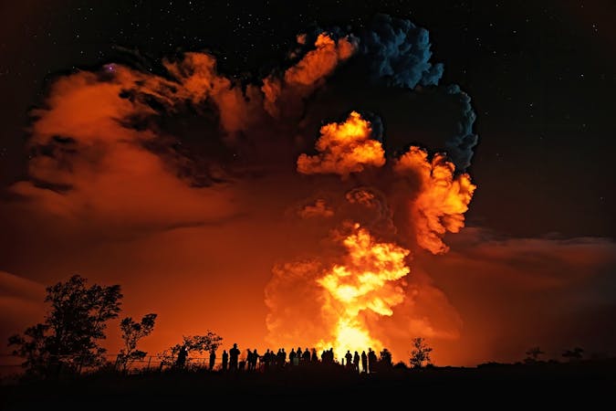
The loop portion of the hike is located on the Hilina Slump: "a semidetached landmass sinking 4in each year, and which may be primed for cataclysmic collapse," according to LonelyPlanet.com. "The last minor drop – 11ft during the 1975 earthquake – sent a tsunami to lap at California's coast. If the whole thing were to break free, it could trigger 1000ft waves that would annihilate Pacific civilization; though some scientists believe debris piles from previous slumps may hold Hilina in place."
Be sure to check out The Slump before all nearby civilization gets annihilated--go do this hike now!
Severe
Hiking challenging trails where simple scrambling, with the occasional use of the hands, is a distinct possibility. The trails are often filled with all manner of obstacles both small and large, and the hills are very steep. Obstacles and challenges are often unexpected and can be unpredictable.

The trail contains some obstacles such as outcroppings and rock which could cause injury.

Little chance of being seen or helped in case of an accident.
6 routes · Hiking