8.3 km away
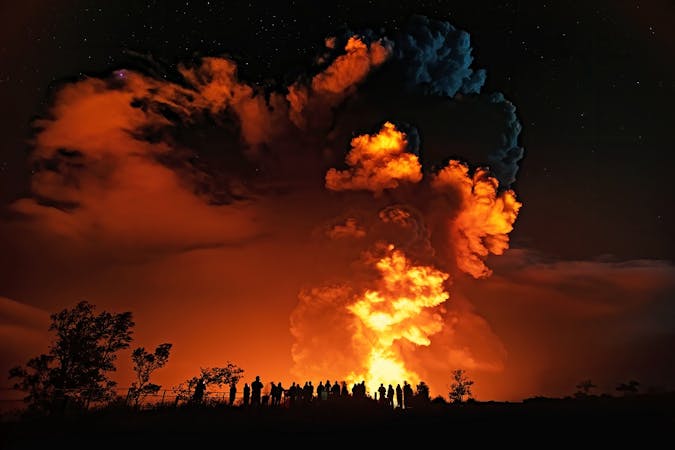
Halema'uma'u Trail
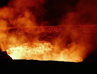
One of the best hikes for viewing lava in Volcanos National Park.
Difficult Hiking
- Distance
- 10 km
- Ascent
- 193 m
- Descent
- 193 m
Visit several stunning sites in one long hike.
Hiking Difficult

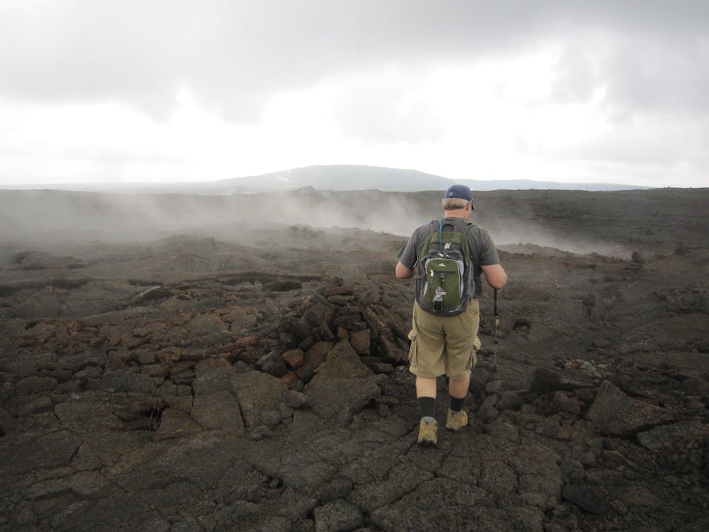
This lengthy hike tags the top of a small rise known as Pu-u Huluhulu on its way across a vast plan of hardened lava riven by steam vents. Along the way to the turn-around point you'll also pass a stunning overlook of the Makaopuhi Crater, which drops away below you in a vast sea of lava rock.
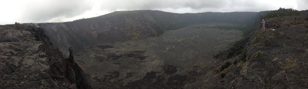
The trail itself is known as the Napau Trail as it eventually leads to the Napau Crater, and most hikers consider this to be one of the best hikes in the entire national park. "The Nāpau trail crosses vast oceans of new lava and skirts a few massive craters before entering a 150 year-old rainforest," according to BigIslandHikes.com. "After hiking in the rainforest for a bit, you abruptly come to the edge of Nāpau Crater, which provides the closest vantage possible to the former eruption site."
At over 12 miles round-trip, tackling this entire route in a single day is a respectable undertaking. However, there are some backcountry campsites available near the crater that will allow you to turn this into an overnight backpacking trip. To camp at one of the sites, you'll have to apply for a camping permit at the visitor center or the backcountry office.
Difficult
Hiking trails where obstacles such as rocks or roots are prevalent. Some obstacles can require care to step over or around. At times, the trail can be worn and eroded. The grade of the trail is generally quite steep, and can often lead to strenuous hiking.

The path is on completely flat land and potential injury is limited to falling over.

Little chance of being seen or helped in case of an accident.
8.3 km away
One of the best hikes for viewing lava in Volcanos National Park.
Difficult Hiking
6 routes · Hiking

63 routes · Alpine Climbing · Hiking