
40 routes · Hiking
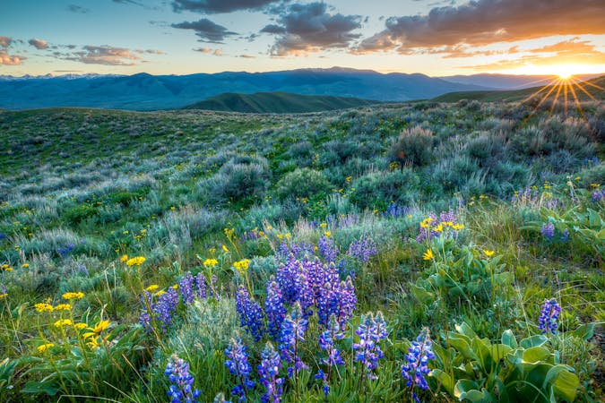
A rugged traverse through the remote Centennial Mountains, an ecologically significant area connecting Yellowstone to the greater Rocky Mountains.
Also in Montana, United States of America
Hiking Difficult

Leaving Wyoming and Yellowstone NP, this section of the CDT begins at Targhee Pass, just minutes from West Yellowstone. The quaint town is home to just 1,200 residents, but it's a welcoming resupply point for thru-hikers continuing north. A small airport services the area, and the post office is noted on the official map published by the CDT Coalition. The trailhead can host 20 cars and includes overnight and trailer parking.
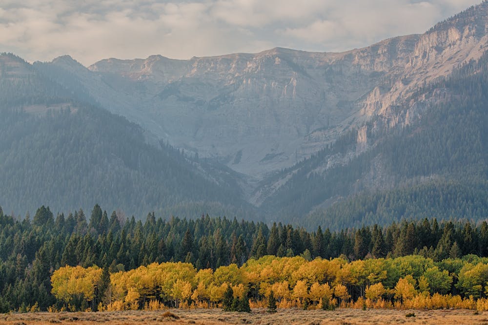
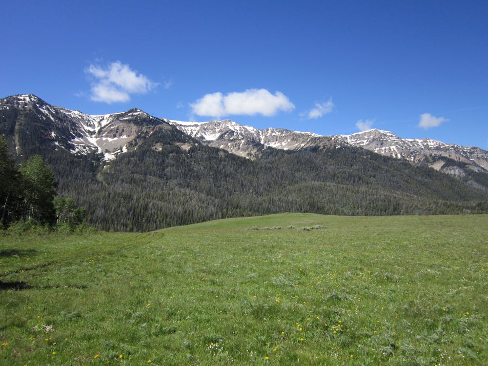
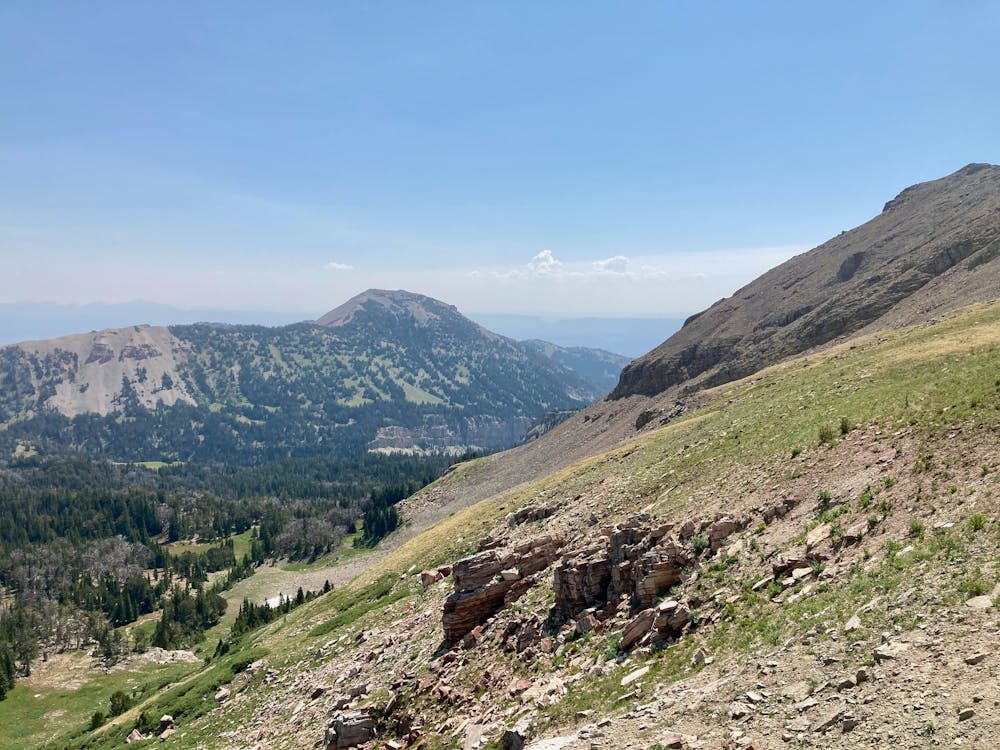
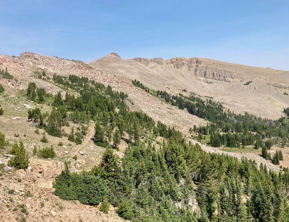
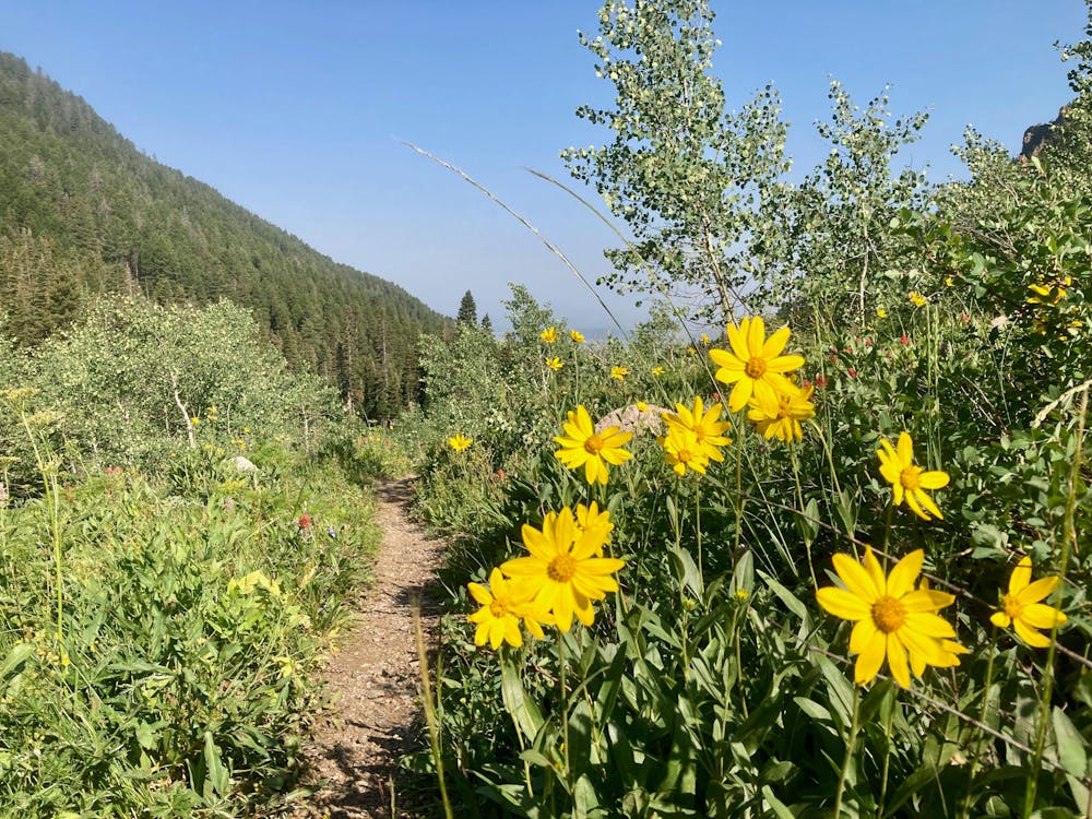
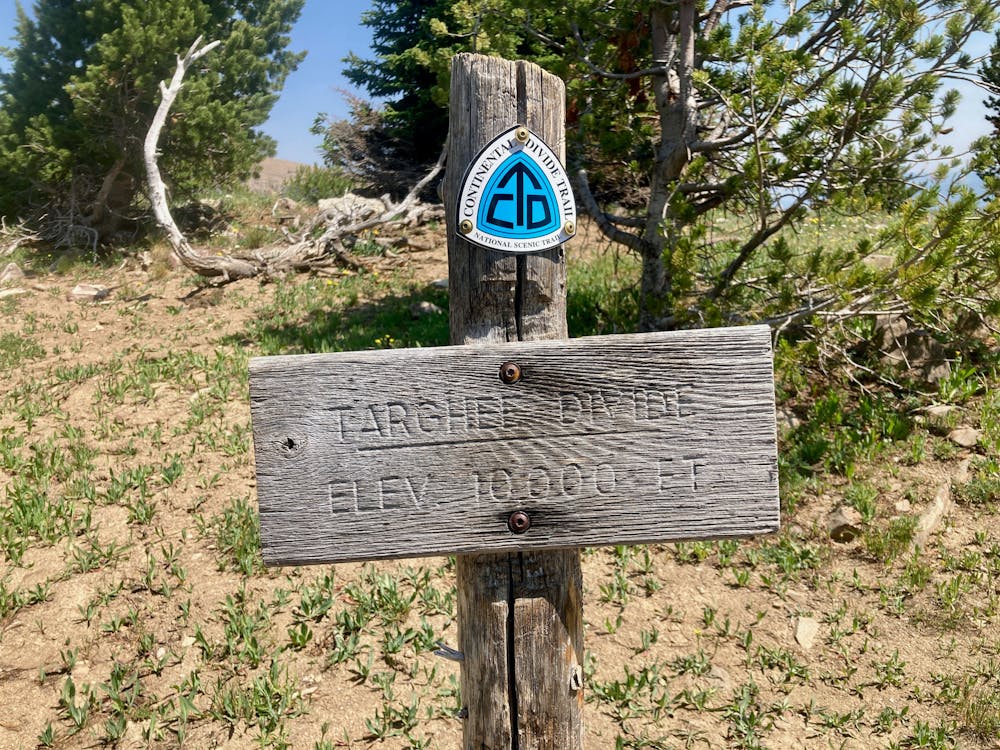
The first 25 miles of this segment wind their way through 9000-foot peaks, topping off just below the summit of Targhee Peak at 10,240'. Importantly, much of the trail lies in the treeless alpine zone, so be especially mindful of summer afternoon thunderstorms that plague the high peaks. Thankfully water is in no short supply as you hike along high-mountain lakes and fresh streams. Just be sure to filter or treat every source first.
Ahead, you'll arrive at Raynolds Pass on ID-87. The small trailhead offers access to the CDT, but no amenities or direct route to town. Most importantly, this is the last way to access the trail for the next 60 miles.
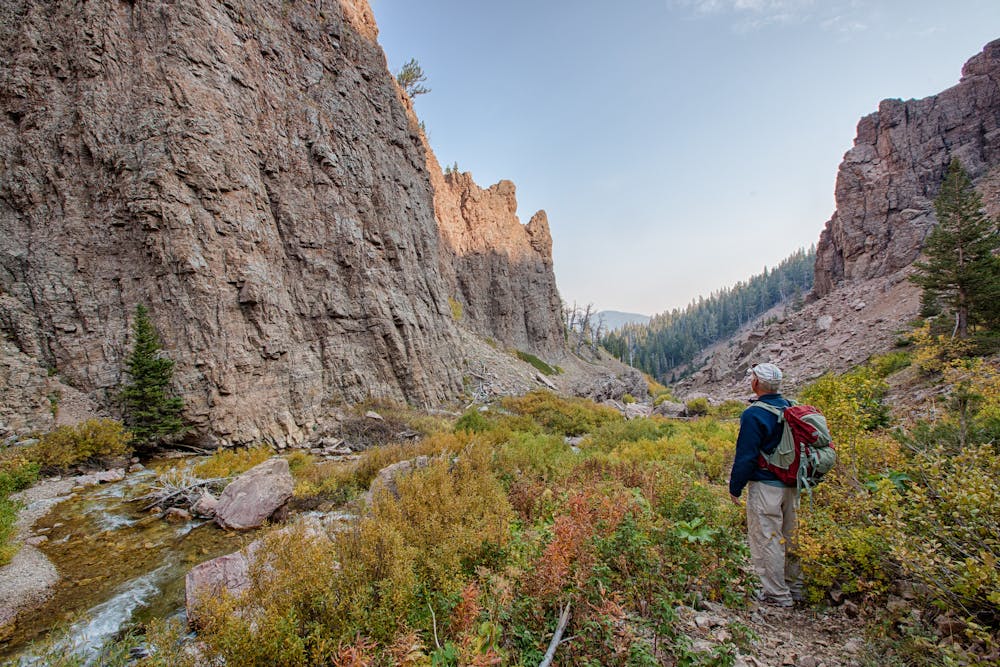
As you continue your hike, the trail follows the Idaho/Montana state line through the Centennial Mountains and often crosses from one state to the other. According to this source, the range was "designated as an Area of Critical Environmental Concern in 2006 and is considered an important corridor for wildlife movement," connecting the Yellowstone Ecosystem to the greater Rocky Mountains. Hikers may encounter or observe wildlife such as moose, elk, deer, wolverines, badgers, and the occasional wolf or grizzly bear.
Exiting the wilderness, you'll pass through a small trailhead at Boatman Springs Road, then walk three miles to Interstate 15. Follow Modoc Road for another 8 miles to reach the end of this section, a small trailhead with overnight and trailer parking. Importantly, there is no access to the trail from the Interstate.
Sources: https://mypubliclands.tumblr.com/post/102314137032/centennial-mountains-wilderness-study-area-and https://en.wikipedia.org/wiki/WestYellowstone,Montana
Difficult
Hiking trails where obstacles such as rocks or roots are prevalent. Some obstacles can require care to step over or around. At times, the trail can be worn and eroded. The grade of the trail is generally quite steep, and can often lead to strenuous hiking.

Some trail sections have exposed ledges or steep ascents/descents where falling could cause serious injury.
Little chance of being seen or helped in case of an accident.
40 routes · Hiking
13 routes · Hiking