4 km away
Wild Phlox and Seamans Gulch Loop
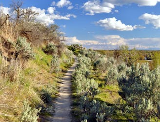
A short and hilly trail loop with excellent views.
Easy Hiking
- Distance
- 3.5 km
- Ascent
- 68 m
- Descent
- 68 m

A shorter version of a trail loop through Polecat Gulch
Hiking Moderate

Polecat Gulch is a popular trailhead in the Boise Foothills with a few different loop options. The one shown here is the short version, but it still covers three miles and a significant hill climb. On this hike you'll go gradually up the valley of Polecat Gulch, then up a steeper section to gain a panoramic ridgeline. Winding along the ridge leads eventually to a quick descent, where the trail cuts across steep slopes to deliver you back into the gulch.
If you want the longer version, simply stay on Polecat Loop trail instead of making the shortcut with Quick Draw and Doe Ridge. And as always in the Boise Foothills, stay off muddy trails in order to avoid damage. The trails at Polecat Gulch tend to dry slower than some others, so give them ample time following rain or snow.
Note: As of 2021, all users are required to travel counter-clockwise on this loop (may not apply in the winter).
Source: https://www.ridgetorivers.org/
Moderate
Hiking along trails with some uneven terrain and small hills. Small rocks and roots may be present.
4 km away

A short and hilly trail loop with excellent views.
Easy Hiking
4.1 km away
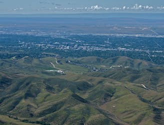
A scenic jaunt close to downtown, in a network of many popular trails.
Moderate Hiking
4.6 km away
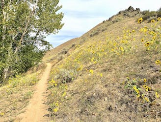
Walk through a deep canyon in the Boise Foothills, beside a rare perennial stream.
Moderate Hiking
5.2 km away
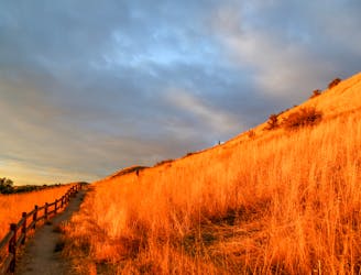
Scenic loop with steep hills and shady forest in the North End of Boise.
Moderate Hiking
5.2 km away

A short loop with a lot of variety, and different sights for every season.
Easy Hiking
5.5 km away
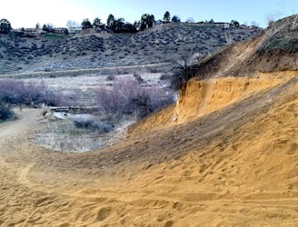
A short and scenic loop with views over the city and some colorful geology.
Easy Hiking
5.5 km away
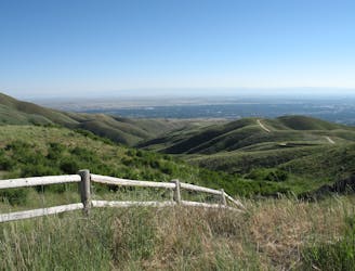
A nicely varied loop in the foothills near downtown, through a sheltered creek valley and across panoramic slopes.
Moderate Hiking
7.5 km away

Short and easy hike among prairie and forest near a little creek.
Easy Hiking
7.5 km away
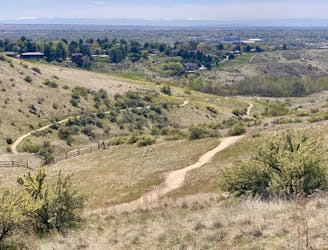
A loop with some elevation gain and varied scenery, using Ridge Crest and Central Ridge trails
Moderate Hiking
7.5 km away
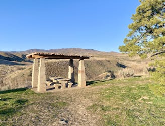
Hike uphill to nice views from both sides of a ridge near downtown Boise.
Moderate Hiking
10 routes · Hiking
10 routes · Hiking