0 m away
Proctor and Ruud Mountain Loop
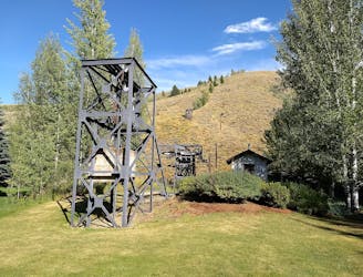
Hilltop views in a steep hike close to town, and one of the world's oldest chairlifts.
Difficult Hiking
- Distance
- 6.8 km
- Ascent
- 517 m
- Descent
- 517 m
Aspen forest and a sunny ridgeline overlooking the town.
Hiking Difficult

This short, steep hike close to town makes a great workout to squeeze into the beginning, middle, or end of your day. Starting from the end of Fairway Road, the trail leads to the mouth of a forested canyon. On a hot afternoon, you’ll want to start the loop by going up this canyon. On a cool morning, however, maybe you’ll want to go the other way and tackle the switchbacks first. Either way, this loop contains a mix of gradual inclines and steep sections. It’s sometimes in the shade of aspens (brilliant in the fall) and tall conifers, and sometimes on sage-covered hillsides with great views over Sun Valley. You’ll see the golf course and the town below, and the ski runs on Bald Mountain across the valley. Along the trail are some benches to rest and take in the view.
Difficult
Hiking trails where obstacles such as rocks or roots are prevalent. Some obstacles can require care to step over or around. At times, the trail can be worn and eroded. The grade of the trail is generally quite steep, and can often lead to strenuous hiking.

The trail contains some obstacles such as outcroppings and rock which could cause injury.

Close to help in case of emergency.
0 m away
Hilltop views in a steep hike close to town, and one of the world's oldest chairlifts.
Difficult Hiking
2.4 km away

A local go-to loop in the foothills, good for hiking shortly after the snow melts.
Easy Hiking
2.4 km away

A quick hike near Sun Valley Lodge, with nice views of the resort and the town.
Easy Hiking
4.1 km away

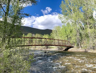
A stroll along the Big Wood River, through forest and fields that gorgeous in all seasons.
Easy Hiking
4.2 km away

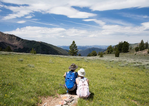
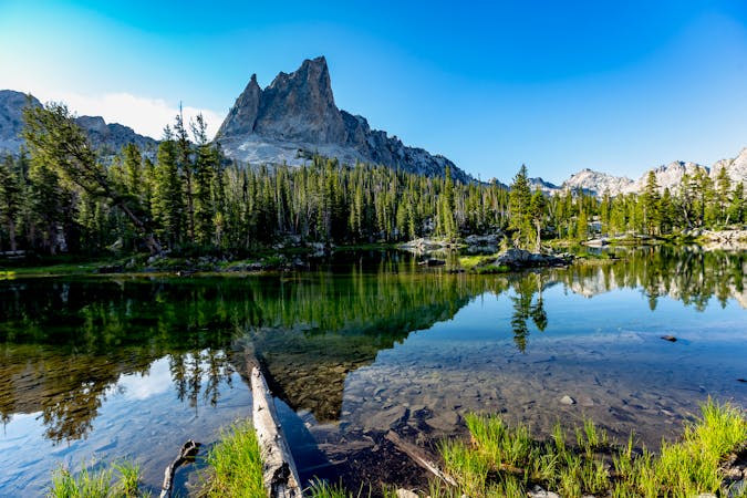
A great workout with mountain vistas and summer wildflowers.
Difficult Hiking
7.3 km away
A local favorite trail with nicely varied scenery and elevated views.
Moderate Hiking
9 km away
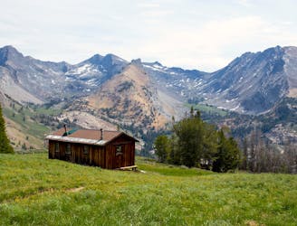
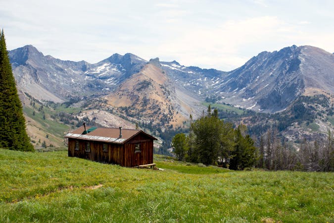
Head into the mountains to reach a high pass, and find a historic cabin with a dramatic backdrop.
Difficult Hiking
7 routes · Hiking
5 routes · Alpine Climbing · Hiking
13 routes · Alpine Climbing · Mountain Biking · Gravel Biking · Hiking · Road Biking · Sailing · Trail Running