3.8 km away
Shafer Butte from Simplot Lodge
A scenic hike through Bogus Basin to the highest point along the Boise Ridge.
Moderate Hiking
- Distance
- 12 km
- Ascent
- 461 m
- Descent
- 461 m
A hike through mountainside meadows and conifer forest high above Boise, overlooking the valley and reaching a stand-out rock formation at the end.
Hiking Moderate

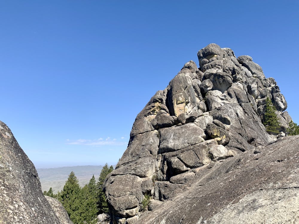
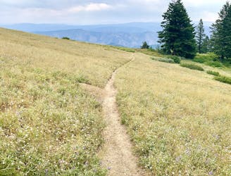
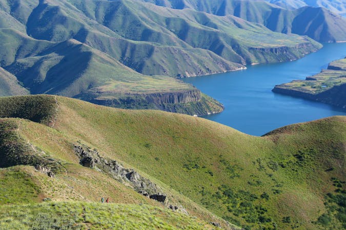
Stack Rock is one of Boise’s quintessential hikes, featuring views over the Treasure Valley from high in the hills. The trail starts from Bogus Basin Road and traverses the mountainside, among a mix of forest scenery and wide open views. Meandering in and out of gullies and crossing over ridges, the trail has lots of mild ups and downs, but it’s never too steep. The destination at the end is Stack Rock––a granite tower that crowns an already lofty ridgeline. Getting on top of the formation might be an option for experienced rock climbers, but most people simply enjoy the views from the trail and stone ledges at the base of the tower.
There’s a network of multi-use trails here in the Stack Rock Reserve, so the out and back to the rock is only one possibility for a hike, run, or bike ride in Boise’s local mountains. As mapped here, the hike begins from an unmarked pullout along the road. Parking there is limited, so if it’s full you might have to drive farther up and park at the officially signed Stack Rock Trailhead, which adds some distance to the hike.
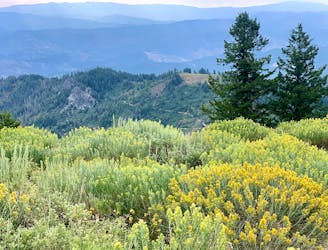
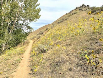
Stack Rock is popular at all times of year, especially in the summer when the valley is hot. At this elevation, temperatures drop quickly in the fall, and you’ll catch color in the deciduous trees by late September. Conifers are prevalent along the trail, however, remaining lush when the mountains turn white in winter. Snowshoes or spikes might be necessary then, depending on firmness of the snow. In spring the trail gets muddy as the snow melts, and although people still go, it’s best avoided until late spring when the tread has had a chance to dry out, and when wildflowers begin coloring the slopes.
Source: https://www.cityofboise.org/departments/parks-and-recreation/parks/stack-rock-reserve/
Moderate
Hiking along trails with some uneven terrain and small hills. Small rocks and roots may be present.

The trail contains some obstacles such as outcroppings and rock which could cause injury.

Little chance of being seen or helped in case of an accident.
3.8 km away
A scenic hike through Bogus Basin to the highest point along the Boise Ridge.
Moderate Hiking
6.5 km away
A pleasant loop in the forest reaching the top of Mores Mountain, high above the heat in Boise
Moderate Hiking
6.5 km away
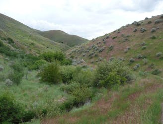
Walk through a deep canyon in the Boise Foothills, beside a rare perennial stream.
Moderate Hiking
9.4 km away
A hiker-only trail with gorgeous views and lessons on nature in the Boise Foothills.
Moderate Hiking
10 routes · Hiking
10 routes · Hiking
8 routes · Hiking · Trail Running