2 m away
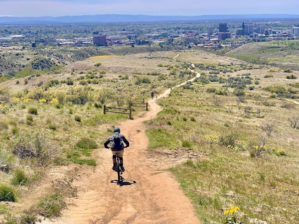
Around the Mountain
A scenic escape to high elevation when the foothills heat up in summer.
Moderate Mountain Biking
- Distance
- 16 km
- Ascent
- 430 m
- Descent
- 430 m
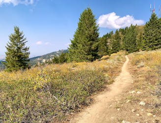
Up from Bogus Basin and along the ridge, then a huge downhill on some of Boise's best singletrack.
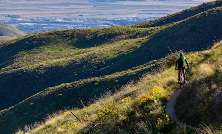
Mountain Biking Difficult

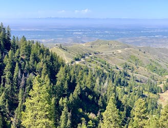
Though not a pure downhill, this is one of the best shuttle rides in the Boise area. It begins from Bogus Basin and rolls along the Boise Ridge, then dives on miles of singletrack through the woods, ending way down the road at Dry Creek trailhead, where you can stage a second vehicle.
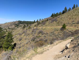
Starting from the lower lot at Bogus Basin, you’ll have a short climb on Around the Mountain trail, then you’ll cruise a section of dirt road before the fun begins on Mahalo. It’s 3.3 miles of stellar singletrack twisting through pine forest, with roots and rocks and some drops. The second half has more uphill than down, but all quality riding. When the trail hits the dirt road once more, you’ll roll another mile to the turnoff for Dry Creek.
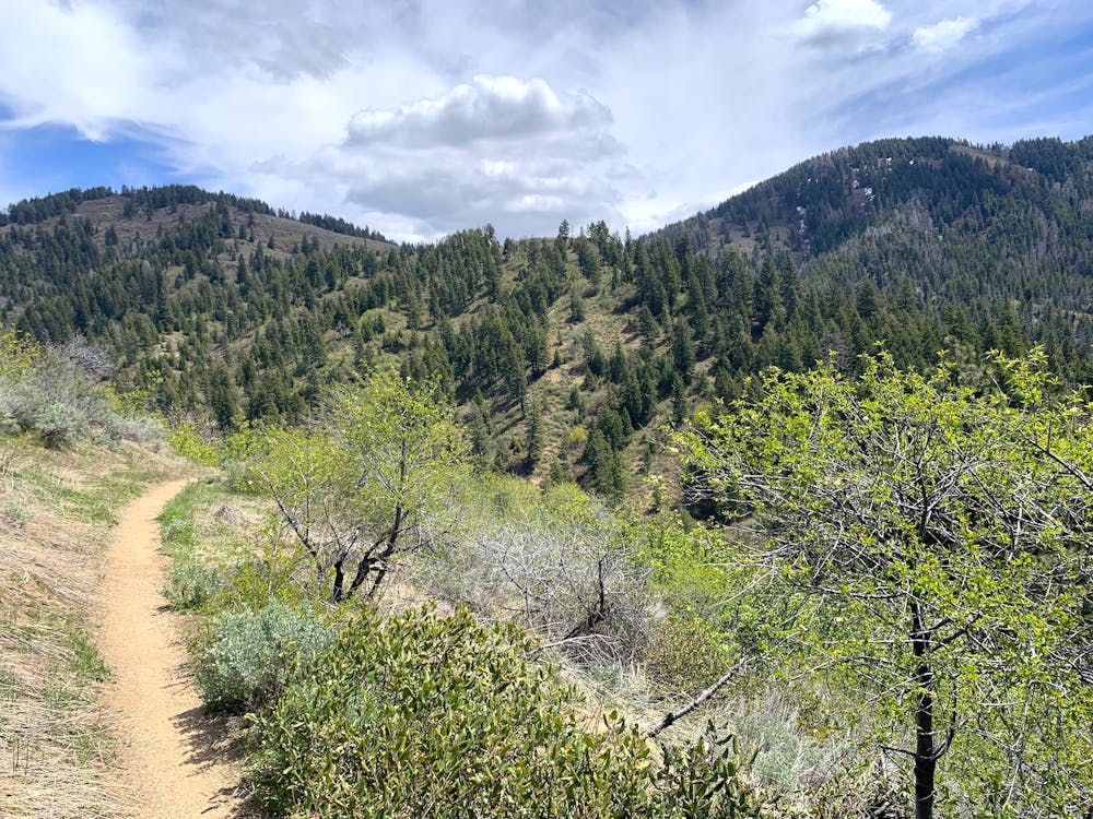
The Dry Creek downhill is hands-down one of Boise’s best rides. It’s 7.5 miles of pure bliss with swoopy turns, rock rolls, creek crossings with log options, and barely any pedaling until the end. To finish out, you’ll have some easy flats followed by surprisingly sketchy outcrops that may warrant a dismount. These lower reaches are very popular with hikers, so take care on blind turns.
The season for this one is summer and fall. Even in June, when it's hot down in Boise, snow and mud can linger in the shade at upper elevations. This is actually one of the best rides for those sweltering mid-summer days, because you'll stay in the woods and splash through "Dry" Creek about a dozen times. It's only the last few miles that get really hot, so you can leave ample water waiting in the car.
Difficult
Mostly stable trail tread with some variability featuring larger and more unavoidable obstacles that may include, but not be limited to: bigger stones, roots, steps, and narrow curves. Compared to lower intermediate, technical difficulty is more advanced and grades of slopes are steeper. Ideal for upper intermediate riders.

Some trail sections have exposed ledges or steep ascents/descents where falling could cause serious injury.
Little chance of being seen or helped in case of an accident.
2 m away
A scenic escape to high elevation when the foothills heat up in summer.
Moderate Mountain Biking
126 m away
Awesome shuttle ride from the pines of Bogus Basin into the prairie of the foothills.
Difficult Mountain Biking
3.8 km away
A scenic romp through mountainside meadows and montane forest, with bonus views from the iconic Stack Rock formation.
Moderate Mountain Biking
9.5 km away

A big downhill ride with a shuttle, and a step up in difficulty over most trails in the area.
Severe Mountain Biking
12 routes · Mountain Biking
6 routes · Mountain Biking