8 routes · Hiking
A nicely varied trail loop in Cliff Cave County Park.
Hiking Moderate

Just south of St. Louis is this newly expanded forest park with trails and a view of the Mississippi River. It also boasts some notable geology and interesting history. The Cliff Cave itself was once used as a tavern by French fur trappers and later as a cellar by a wine company. Today some of the stone walls around the cave remain, but the entrance is gated to protect the habitat of bat species that roost there.
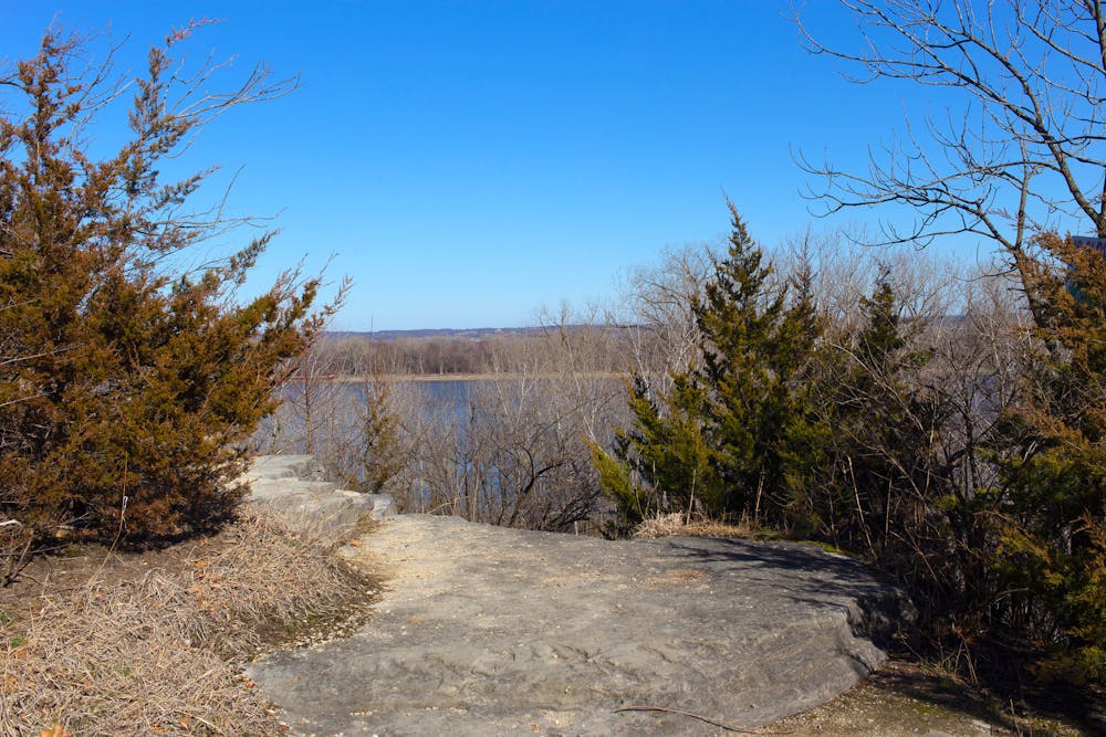
The cave is set in the base of 100-foot limestone cliffs near the river. On this loop hike, you can see the cave and enjoy the vista from a constructed overlook. The loop mapped here incorporates River Bluff and Spring Valley Loop trails. River Bluff has the elevated views. Spring Valley is a rolling forest hike where you might see deer and other wildlife. There is also an Inner Spring Valley Loop, which you could do instead to shorten the mileage. Trails will likely be shared with a variety of other users, including mountain bikers, runners, horseback riders, and casual walkers near the picnic area. The paved Mississippi Greenway also crosses this loop, providing another option for varying your route.
Source: https://stlouiscountymo.gov/st-louis-county-departments/parks/places/cliff-cave-park/
Moderate
Hiking along trails with some uneven terrain and small hills. Small rocks and roots may be present.

The trail contains some obstacles such as outcroppings and rock which could cause injury.

Close to help in case of emergency.
8 routes · Hiking