2.4 km away
Beech and Canada Cliffs
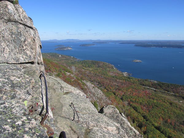
An "iron rung" loop reserved for adventurous hikers without a fear of heights.
Severe Hiking
- Distance
- 3.3 km
- Ascent
- 197 m
- Descent
- 197 m
An easy hike to a small beach at low tide on Acadia's quiet side
Hiking Easy

This is a popular hiking route which is generally considered to be easy. It's remote, it features low exposure and is typically done between May and October. From a low point of 0 m to the maximum altitude of 80 m, the route covers 2.4 km, 114 vertical metres of ascent and 114 vertical metres of descent.
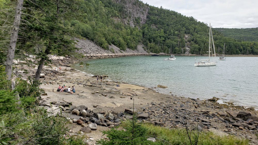
Flying Mountain is an easy hike with minimal elevation gain. The trail leads to a small beach that you can walk around on at low tide. For more info, visit: http://www.ericsturgeon.com/blog/flying-mountain-trail-acadia/
Easy
Walking along a well-kept trail that’s mostly flat. No obstacles are present.

The path is on completely flat land and potential injury is limited to falling over.

Away from help but easily accessed.
2.4 km away
An "iron rung" loop reserved for adventurous hikers without a fear of heights.
Severe Hiking
2.8 km away
A classic Acadia hike with 3 summits and plenty of views.
Difficult Hiking
5.5 km away
A challenging and incredibly scenic day hike with "iron rungs and ladders" along Jordan Cliffs and Penobscot Mountain.
Severe Hiking
7 km away
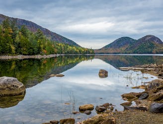
A circuit including North Bubble, South Bubble, and Conners Nubble - with impressive views from each.
Moderate Hiking
7.3 km away
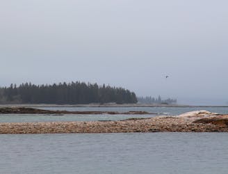
An easy, family-friendly hike with endless opportunities to explore a coastal outcropping.
Easy Hiking
7.6 km away

A short, family-friendly hike with spectacular coastal views, birding opportunities, and unique granite outcroppings.
Easy Hiking
9.4 km away
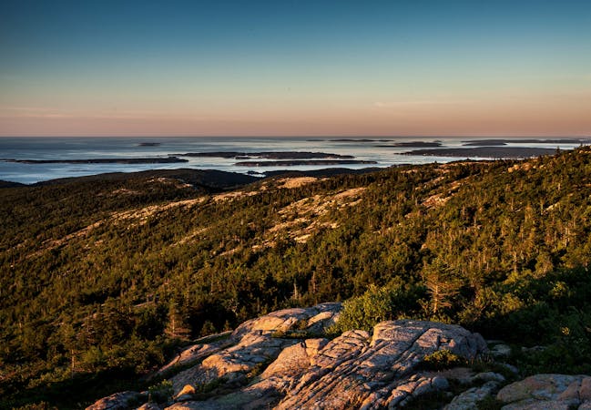
A short summit hike atop the highest peak in Acadia National Park.
Moderate Hiking
13 routes · Hiking
4 routes · Hiking