
5 routes · Mountain Biking
Fast, flowy singletrack with plenty of optional features.
Mountain Biking Moderate

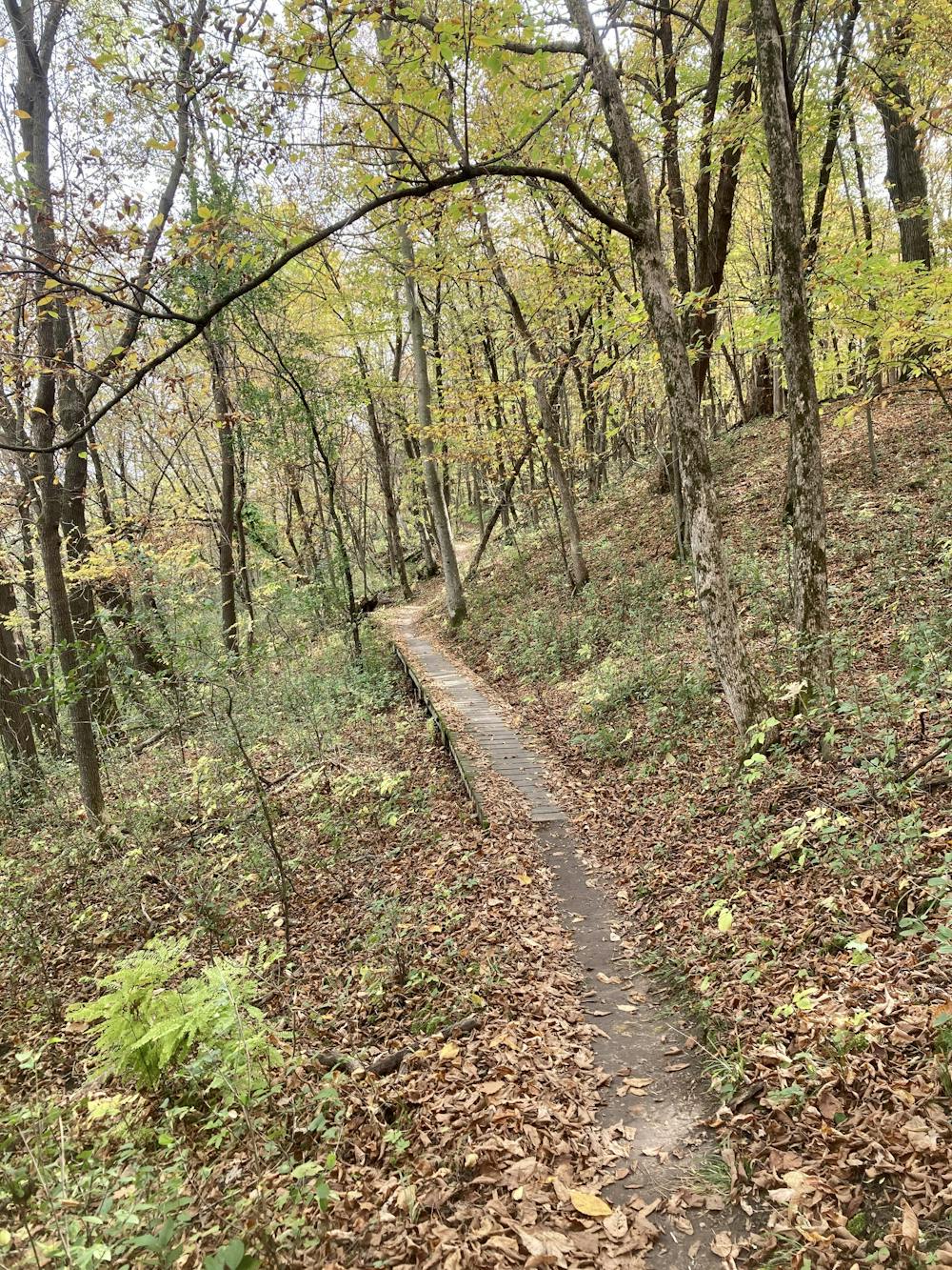
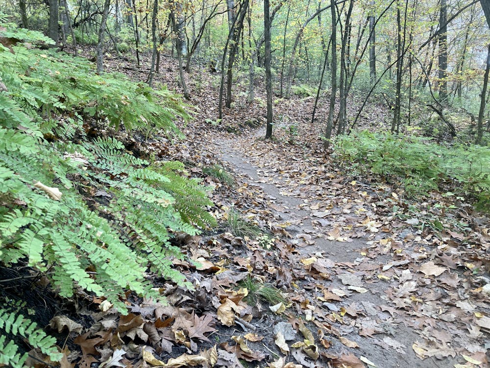
This 9.5-mile loop at Murphy Hanrehan Park epitomizes Minneapolis mountain biking. Here you'll find smooth black dirt flowing up and down a series of small ridges, crisscrossed by the occasional tree root. The trails duck and weave through a thick forest, doubling back on themselves over and over again to attain this 9.5-mile distance in a relatively small metro park.
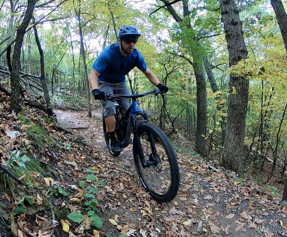
Well-sculpted berms in the corners help keep the speed high and the flow top-notch. The trail system at Murphy-Hanrehan has been loved by riders for many years, but MORC, the local mountain bike trail organization, continues to not only maintain the trails, but improve them with new trail construction techniques as the years roll on.
Murphy-Hanrehan doesn't offer the rocky singletrack options that you'll find at Lebanon Hills—which might boast some of the rockiest singletrack in the Metro Area. Instead, the vast majority of the singletrack here is solidly intermediate, with a beginner loop accessible directly from the trailhead.
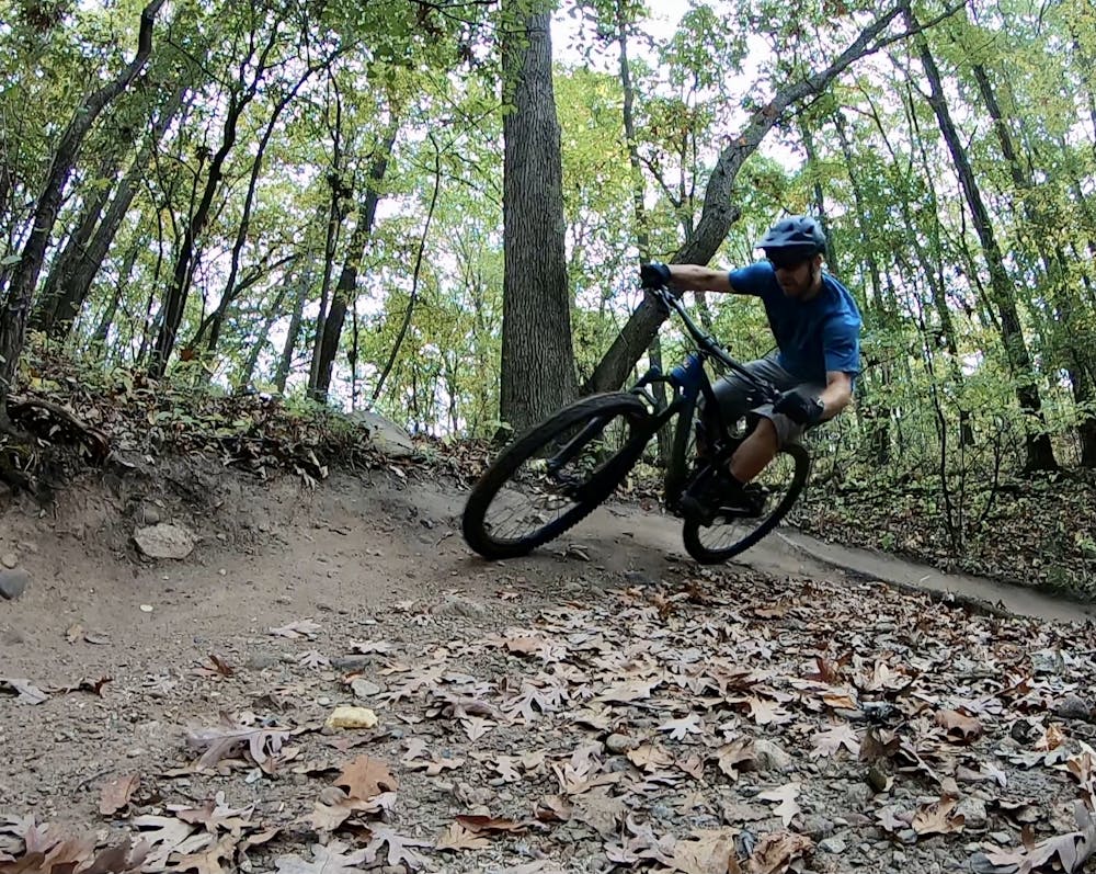
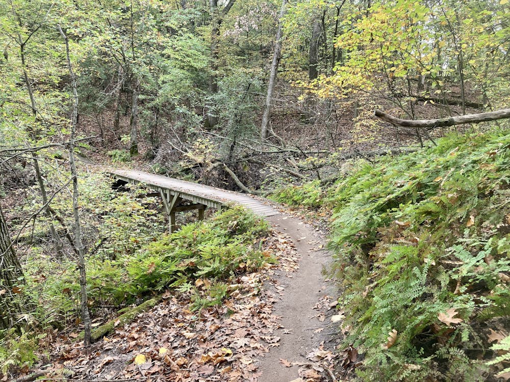
However, what Murphy-Hanrehan does provide to add a bit of challenge and pizzaz for advanced-level mountain bikers is a whole suite of optional trail features. Some of the features are natural boulders that form rock rolls and ledge drops. Others are manmade features, such as jumps. But most notably, Murphy-Hanrehan is one of the best place in the Metro Area to go for wooden features. You'll find plenty of elevated wooden bridges and skinnies, along with some wooden drops, tucked away in the forest here.
While you can't defy the natural topography that the local area gives you, you can make the most of what you have to work with. And Murphy-Hanrehan does exactly that.
Moderate
Mostly stable trail tread with some variability, with unavoidable obstacles 8in/20cm tall or less. Other obstacles such as rock gullies and steep sections may exist. Ideal for lower intermediate riders.

The path is on completely flat land and potential injury is limited to falling over.
Close to help in case of emergency.
5 routes · Mountain Biking