Katy Trail
One of the longest rails-to-trails projects in the USA.
Gravel Biking Easy
- Distance
- 388 km
- Ascent
- 1 km
- Descent
- 1.1 km
- Duration
- 1 day +
- Low Point
- 131 m
- High Point
- 289 m
- Gradient
- 0˚
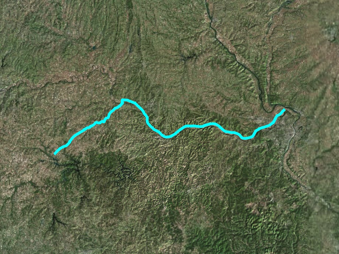
The Katy Trail is one of the longest rails-to-trails projects in the USA. Stretching about 240 miles across most of Missouri, this long-distance path is a popular multi-day cycling route. Shorter sections are also fantastic for hiking and running.
- •
- •
Description
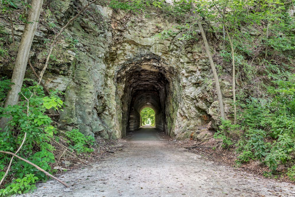
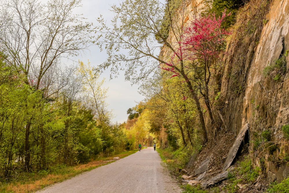
"Over half the trail's length follows Lewis and Clark's path up the Missouri River, where you can ride beneath towering river bluffs while eagles circle overhead," according to BikeKatyTrail.com.
Due to the popularity of the Katy Trail, there are several campgrounds along the way for overnight bikepacking or bike touring trips. It is also often incorporated into cross-country bike tours due to its roughly east-west alignment. Finally, for more epic route combinations, consider adding in other trails that the Katy Trail intersects with, such as the Rock Island Trail.
Difficulty
Easy
Remoteness

Close to help in case of emergency.