Katy Trail
One of the longest rails-to-trails projects in the USA.
Trail Running Easy
- Distance
- 388 km
- Ascent
- 1 km
- Descent
- 1.1 km
- Duration
- 1 day +
- Low Point
- 131 m
- High Point
- 289 m
- Gradient
- 0˚

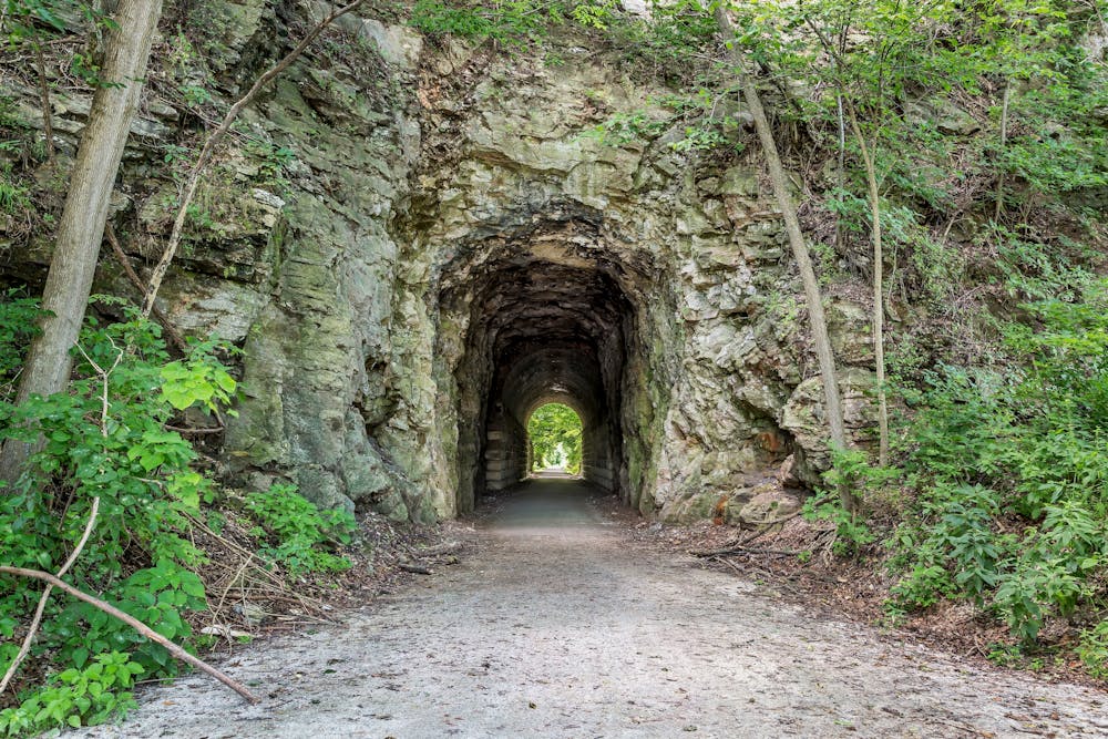
The Katy Trail is one of the longest rails-to-trails projects in the USA. Stretching about 240 miles across most of Missouri, this long-distance path is a popular multi-day cycling route. Shorter sections are also fantastic for hiking and running.

- •
- •
Description
"Over half the trail's length follows Lewis and Clark's path up the Missouri River, where you can travel beneath towering river bluffs while eagles circle overhead," according to BikeKatyTrail.com.
Due to the popularity of the Katy Trail, there are several campgrounds along the way for overnight multi-day trips. Multiple trailheads along the route provide the chance to complete many shorter day hikes or runs along the trail of varying distances. The options are nearly endless!
Difficulty
Easy
Low Exposure

The path is on completely flat land and potential injury is limited to falling over.
Remoteness
Close to help in case of emergency.